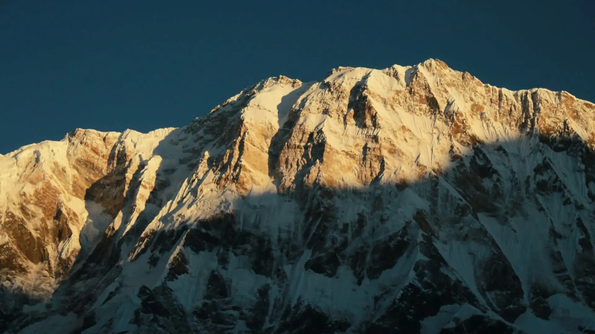
Annapurna I Nepal: Complete Guide to the 10th Highest Mountain
Introduction to Annapurna 1 Nepal
There's a moment every trekker has on the trail to Annapurna Base Camp — usually somewhere past Chhomrong, when the valley narrows and the forest thins out — where the mountain simply appears. Not gradually. All at once. One turn in the trail and there it is: a wall of ice and rock rising almost 4,000 vertical meters above you, close enough that it doesn't feel real.
That mountain is Annapurna I, the 10th highest peak on Earth at 8,091 meters (26,545 feet), and depending on who you ask, it's either the most beautiful mountain in the Himalaya or the most dangerous one. The honest answer is both.
This guide exists because most of what's written about Annapurna I falls into one of two camps. Either it's a dry Wikipedia-style rundown of elevation and coordinates, or it's clickbait built around the "world's deadliest mountain" headline with little context about what that statistic actually means.
Neither version helps someone who's trying to understand this mountain — whether that's a trekker planning the Annapurna Base Camp trek, a photographer chasing the sunrise from Poon Hill, a student researching Himalayan mountaineering history, or a climber weighing whether Annapurna I belongs on their 8,000-meter list.
What follows is everything worth knowing about Annapurna I: where it sits and how it formed, the 1950 first ascent that changed mountaineering forever, why its fatality statistics are so often misquoted, the real climbing routes, the treks that bring ordinary travelers into its shadow without ever touching a crampon, current permit costs, best seasons, and the practical planning details that most guides skip.
Wherever a number appears — elevation, cost, a fatality count — it's checked against the most current data available, because a mountain like this deserves accuracy, not exaggeration.
Quick Facts: Annapurna I at a Glance
Fact | Detail |
|---|---|
Height | 8,091 m (26,545 ft) |
Global rank | 10th highest mountain in the world |
Range | Annapurna Massif, part of the Nepal Himalaya |
Location | Gandaki Province, central Nepal |
Coordinates | Roughly 28.6°N, 83.8°E |
First ascent | June 3, 1950 — Maurice Herzog and Louis Lachenal (France) |
First ascent significance | First 8,000-meter peak ever climbed by humans — three years before Everest |
Meaning of name | Sanskrit for "full of food" / "goddess of the harvest" |
Nearest city | Pokhara |
Known for | Highest fatality-to-summit ratio of any 8,000-meter peak; base for the Annapurna Circuit and Annapurna Base Camp treks |
Where Is Annapurna I? Geography of the Annapurna Massif
Annapurna I is not a single, isolated summit — it's the highest point of the Annapurna Massif, a roughly 55-kilometer ridge of interconnected peaks in central Nepal's Gandaki Province. The massif includes Annapurna I, II, III, and IV, along with Annapurna South, Gangapurna, and the striking fishtail-shaped Machhapuchhre (6,993 m), which is considered sacred and has never been officially summited out of respect for local belief.
The massif sits just east of the Kali Gandaki Gorge, one of the deepest river gorges on the planet, which separates Annapurna from its neighboring 8,000-meter giant, Dhaulagiri I (8,167 m), the world's seventh-highest mountain. This gorge is geologically remarkable in its own right: on one side you have Annapurna, on the other Dhaulagiri, and between them a canyon deep enough that the vertical relief from valley floor to summit ridge rivals almost anywhere on Earth.
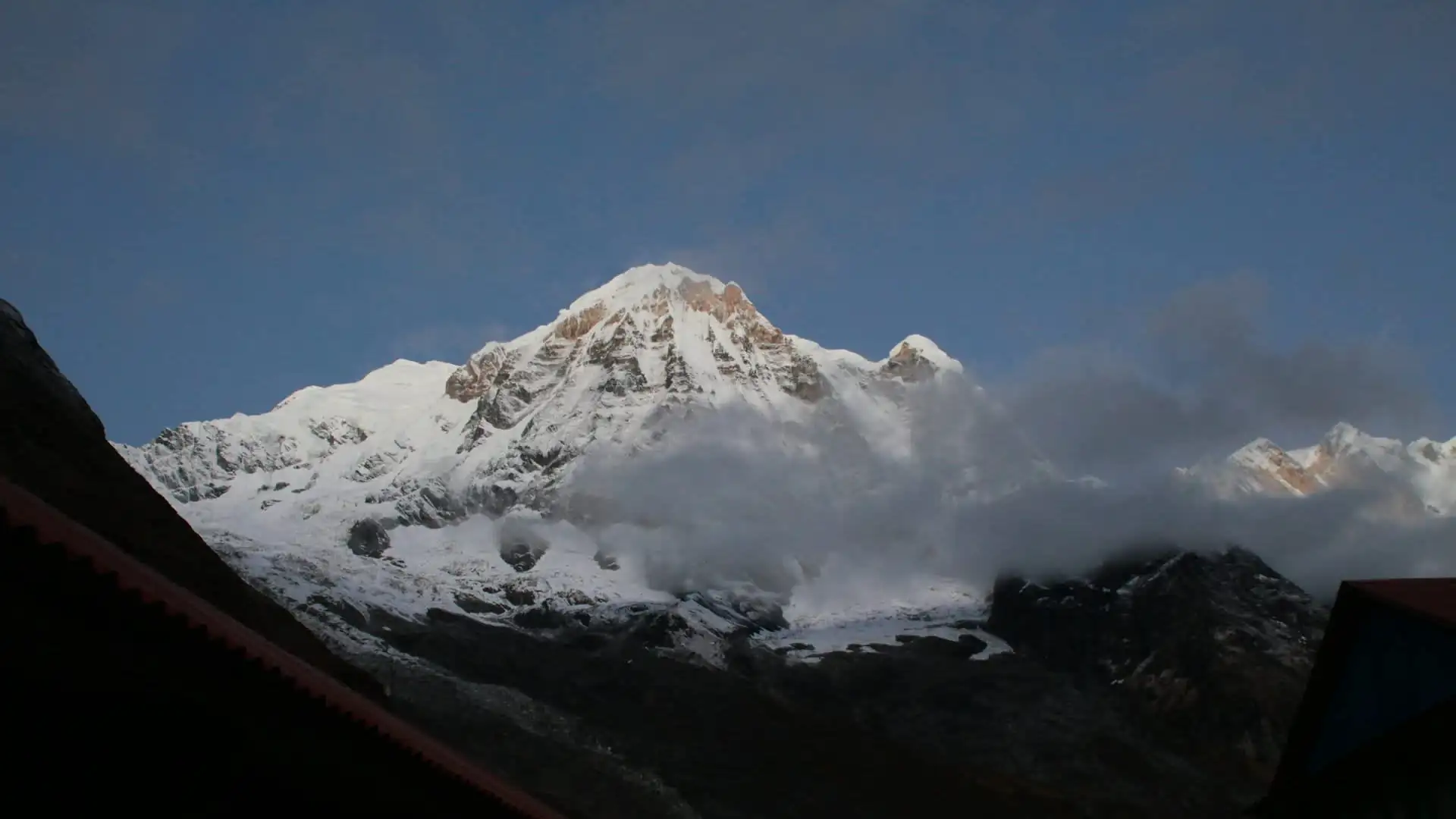
To the south, the Annapurna Sanctuary — a natural amphitheater ringed by peaks above 6,000 meters — forms the destination for the Annapurna Base Camp trek. To the north and east, the Marsyangdi and Kali Gandaki valleys carry the Annapurna Circuit around the entire massif, crossing from Hindu farming villages in the lowlands to Tibetan Buddhist culture near the Mustang border.
Geologically, the summit rocks of Annapurna are limestone, formed at the bottom of an ancient tropical ocean tens of millions of years ago and thrust skyward by the collision of the Indian and Eurasian tectonic plates — the same collision that built the entire Himalayan range. Everest and Dhaulagiri share this same limestone cap near their summits, a quiet reminder that these mountains were once seabed.
What Does "Annapurna" Mean?
The name comes from Sanskrit, combining anna (food or grain) and purna (full, complete, abundant) — together, "she who is full of food," or more commonly translated as "goddess of the harvest." In Hindu mythology, Annapurna is an incarnation of Parvati, consort of Shiva, worshipped as the deity who ensures nourishment and abundance for the world.
It's a fitting name for a mountain that dominates one of Nepal's most fertile and densely terraced agricultural regions — the very valleys trekkers walk through on the way to base camp are lined with rice paddies, millet fields, and orchards that have fed hill communities for centuries under Annapurna's shadow. The irony that a mountain named for abundance and life would also become known as the deadliest 8,000-meter peak on the planet is not lost on anyone who has spent time in the region.
Annapurna I's Place Among the World's Highest Mountains
Annapurna I ranks 10th among the 14 "eight-thousanders" — the fourteen mountains on Earth that exceed 8,000 meters in elevation, all located in the Himalaya and Karakoram ranges of Asia.
Rank | Mountain | Height | Country/Region |
|---|---|---|---|
1 | Everest | 8,849 m | Nepal / Tibet |
2 | K2 | 8,611 m | Pakistan / China |
3 | Kangchenjunga | 8,586 m | Nepal / India |
4 | Lhotse | 8,516 m | Nepal / Tibet |
5 | Makalu | 8,485 m | Nepal / Tibet |
6 | Cho Oyu | 8,188 m | Nepal / Tibet |
7 | Dhaulagiri I | 8,167 m | Nepal |
8 | 8,163 m | Nepal | |
9 | Nanga Parbat | 8,126 m | Pakistan |
10 | Annapurna I | 8,091 m | Nepal |
Despite sitting at the bottom of that list by height, Annapurna I holds a place at the very top of mountaineering history — because it was the first of these fourteen giants that anyone ever reached the summit of.
The First Ascent: June 3, 1950 — A Mountaineering Milestone
In the spring of 1950, no human being had ever stood on the summit of a mountain higher than 8,000 meters. The "death zone" — the altitude above which the human body cannot acclimatize and slowly begins to die — was, at that point, entirely theoretical territory. Everest wouldn't be climbed for another three years.
A French expedition led by Maurice Herzog set out that year with permission from the Nepalese government — the first mountaineering permission Nepal had granted to a foreign expedition in over a century. The team originally targeted Dhaulagiri I, the higher peak just across the Kali Gandaki gorge, but after weeks of fruitless reconnaissance on unmapped terrain, they shifted their attention to Annapurna instead.
There were no accurate maps. The government had given permission for the expedition, the first time it had permitted mountaineering in over a century, after the team failed to climb Dhaulagiri I at 8,167 metres, the higher peak nearby to the west. The climbers had to locate a viable route on a mountain no outsider had ever set foot near, using little more than compass bearings and their own eyes.
On June 3, 1950, Herzog and his climbing partner Louis Lachenal reached the 8,091-meter summit via the North Face — becoming, in that moment, the first humans in history to stand atop an 8,000-meter peak. Herzog and Lachenal topped out on 8,091m Annapurna I via the North Face and without supplemental oxygen.
The triumph came at a brutal cost. The descent turned into a fight for survival: worsening weather, snow blindness among the support climbers, and a rope team pushed to the edge of collapse. Since they wore only thin, leather boots up to the summit, the expedition's doctor had to amputate all of Herzog and Lachenal's toes after extreme frostbite and gangrene set in during the descent, and Herzog lost all of his fingers as well.
Herzog later lost portions of both legs to the frostbite as well, undergoing amputations first in Kathmandu and later in France.
Herzog's book about the expedition, Annapurna, became one of the best-selling mountaineering books ever written, translated into dozens of languages and credited with inspiring generations of climbers to pursue the Himalaya. It remains a foundational text in mountaineering literature, even as later historical scholarship — including the posthumous publication of teammate Louis Lachenal's uncensored diaries — has complicated the "official" heroic narrative Herzog told.
In June 2025, Nepal and the climbing world marked the 75th anniversary of that historic first ascent, with a Diamond Jubilee celebration in Kathmandu and at the mountain itself, including gatherings at Base Camp on June 3rd to honor the French team. Today, both the Annapurna Base Camp trek and the Annapurna Circuit trace paths through the same valleys the 1950 expedition first opened to the outside world.
Why Annapurna I Is Called "The World's Deadliest Mountain"
This is the single most searched — and most misunderstood — fact about Annapurna I. The short version: Annapurna I has the highest historical fatality rate of any 8,000-meter peak. The longer, more accurate version requires a bit of statistical honesty, because the number you'll see quoted depends entirely on which time period and which formula the source is using.
The Historical Numbers (1950–2012)
In Annapurna's early decades, the fatality-to-summit ratio was genuinely alarming. Between 1950 and 2006, roughly 150 successful summits were recorded against 58 deaths — a ratio near 38-39%. By 2012, cumulative figures still put the historical rate at roughly 32%, meaning close to one in three climbers who reached the top did not make it back down alive. This is the figure most older articles and documentaries still cite, and it's the basis for Annapurna's "deadliest mountain" reputation.
The Modern, More Complete Picture
Mountaineering statistics improve as more expeditions accumulate, and Annapurna's numbers have shifted significantly as the dataset has grown and as forecasting, equipment, and rescue capability have all improved. According to the Himalayan Database, cited by Guinness World Records, as of 7 February 2025 Annapurna I had 75 fatalities recorded out of 559 total ascents — a rate of 13.42%, still making it the most dangerous mountain for climbers in the Nepal Himalaya.
That 13.42% figure is a death-to-ascent ratio calculated across the mountain's entire climbing history, not a snapshot of current-year risk — meaning it still carries the weight of those brutal early decades. It's also worth understanding what it actually measures: deaths divided by total recorded ascents, not the odds that any individual attempt will end in death. It includes fatalities during unsuccessful attempts as well as during descents from the summit, blending several different kinds of risk into one number.
Why the Danger Is Concentrated in One Place
Unlike Everest or K2, where danger is spread across several well-known technical sections, Annapurna's risk is dominated by one recurring hazard: avalanches. The majority of deaths on Annapurna I occur at a single avalanche point at 5,900 meters, between Camp II (5,460 m) and Camp III (6,400 m).
This section sits directly beneath massive hanging seracs — unstable towers of glacial ice — that can collapse without warning, regardless of a climber's skill or experience. It's an objective hazard, meaning it can't be climbed around, roped past, or avoided through better technique. Every team that uses the standard North Face route has to pass beneath it, repeatedly, on the way up and down.
How Annapurna Compares to Other 8,000ers
Mountain | Historical fatality-to-summit ratio (approx.) | Primary hazard |
|---|---|---|
Annapurna I | 13.4% (all-time cumulative); historically as high as 32-38% | Avalanche zone at ~5,900m |
K2 | ~12-13% (declining from ~20%+ in earlier decades) | Technical rock/ice sections, the "Bottleneck" |
Nanga Parbat | ~17-20% | Steep faces, avalanches, remote rescue |
Kangchenjunga | ~15-20% | Long summit ridge, extreme exposure |
1-2.5% (declining) | Crowding, altitude, Khumbu Icefall | |
Dhaulagiri I | ~13% | Avalanches, technical ridgelines |
Manaslu | ~2-3% | Avalanches (lower rate due to commercial route) |
The takeaway most experienced mountaineers would offer: Annapurna I is not necessarily technically harder than every other 8,000er, but it is uniquely unforgiving because its greatest danger cannot be trained around. Skill reduces the risks climbers can control — navigation, pacing, decision-making — but it cannot eliminate the risk of a serac collapsing on schedule with a climbing rotation.
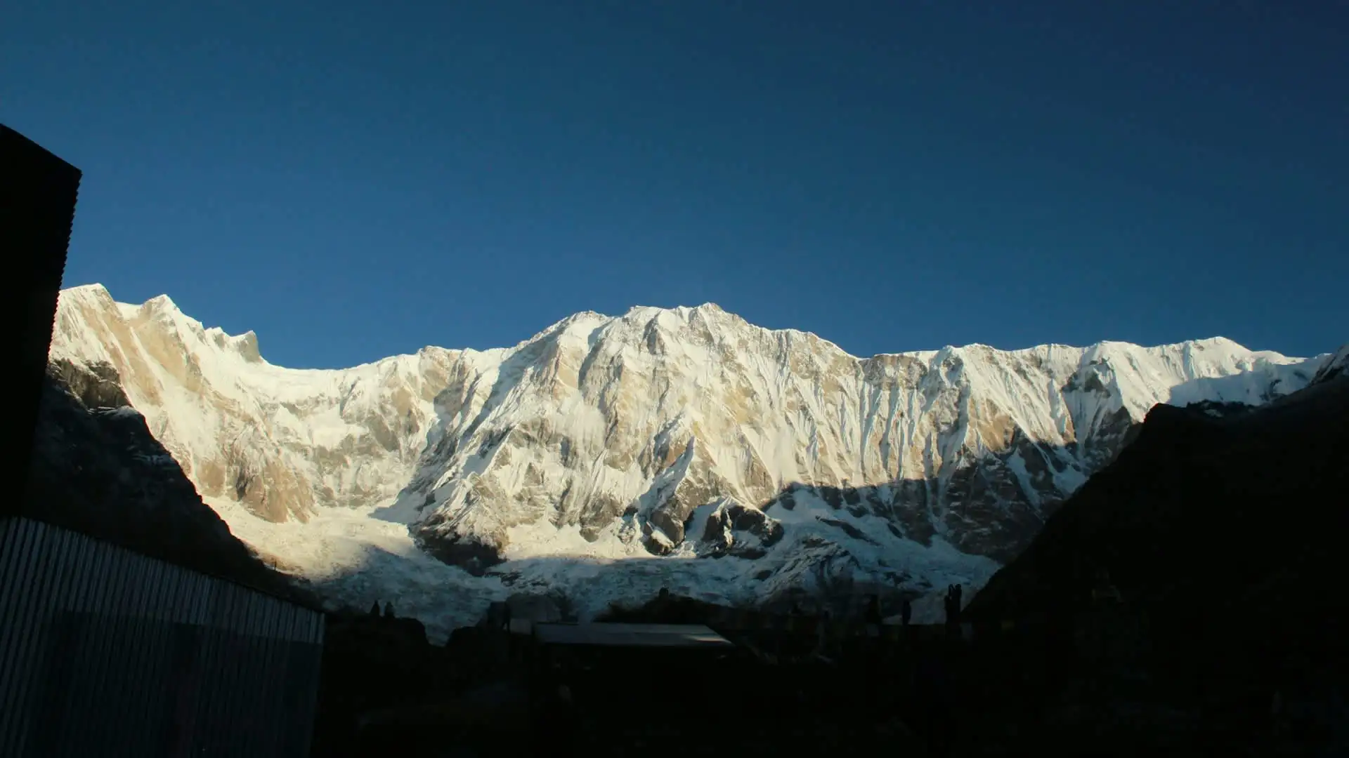
None of this applies to trekkers. It's worth stating plainly, because the two are constantly confused in casual conversation: the Annapurna Base Camp trek and the Annapurna Circuit trek involve zero technical climbing and do not enter the death zone or the avalanche-prone summit routes. Trekking fatalities in the Annapurna Conservation Area are overwhelmingly linked to altitude sickness on the Circuit's Thorong La crossing, not to anything resembling the risks summit climbers face on Annapurna I itself.
Climbing Routes on Annapurna I
Three main routes exist on Annapurna I, and they differ enormously in both popularity and difficulty.
The North Face / Normal Route. This is the original 1950 route and remains the most frequently attempted line to the summit today, generally approached via the North Annapurna Base Camp in the Miristi Khola valley. It remains the most frequently attempted and relatively "easiest," though still extremely hazardous, path to the summit. "Easiest" is relative — it still crosses the fatal avalanche zone around 5,900 meters and involves sustained technical climbing above Camp II.
The South Face. One of the most formidable big-wall climbs in the world. Annapurna's south face is particularly steep, with a roughly 9,800-foot rock wall, icy walls, rockfall, and unstable ground, plus cliffs, steep slopes, and crevasses that make it one of the most challenging faces in mountaineering, with an ascent that can take many weeks and demand serious rock-climbing tactics. Reinhold Messner made a landmark ascent of the Northwest Face in this general zone, and the South Face has seen very few repeats — it's reserved almost exclusively for elite, highly experienced alpinists.
The Northwest Ridge. This presents one of the most challenging routes on the mountain, with only two successful ascents to date, demanding mastery of both rock and ice climbing as climbers navigate through the early camps in avalanche-prone terrain.
For context on how serious these routes are: Annapurna I is the only 8,000-meter peak in history to be successfully summitted on its very first attempted expedition — the 1950 team essentially walked into the unknown and got it right, without oxygen, without prior reconnaissance, and without modern equipment. That achievement looks even more remarkable set against seven decades of subsequent attempts that have proven just how unforgiving the mountain actually is.
Beyond the Summit: Notable Climbs and Climbers
Annapurna I has attracted some of mountaineering's most respected names, in part because its difficulty and prestige make it a serious test even for elite 8,000-meter climbers.
Maurice Herzog and Louis Lachenal (1950) — the historic first ascent, still regarded as one of the boldest climbs in mountaineering history given the near-total absence of prior information about the mountain.
Reinhold Messner completed a landmark ascent of Annapurna's difficult Northwest Face, adding to his reputation as the era's most accomplished high-altitude alpinist and eventually the first person to summit all fourteen 8,000ers.
Nepali climbers have increasingly featured in recent Annapurna history as commercial expedition operators from Nepal have taken a larger share of 8,000-meter guiding worldwide, supporting international climbers on the standard North Face route.
In April, Pakistani climbers Sirbaz Khan and Muhammad Abdul Joshi became the first Pakistanis to summit Annapurna, described in coverage as Nepal's deadliest and 10th-highest mountain, succeeding on their third attempt after two earlier tries were turned back.
Spring 2026 traffic on the mountain remained modest compared to Everest or Manaslu — reflecting Annapurna's continued reputation as a serious objective rather than a commercial trophy peak. During the Spring 2026 climbing season, Nepal's Department of Tourism recorded 27 climbers across 4 teams permitted for Annapurna I, a fraction of the traffic seen on more heavily commercialized 8,000ers. Encountersnepal
You Don't Need to Summit Annapurna I to Experience It
Here's what most climbing-focused articles about Annapurna I leave out entirely: the overwhelming majority of travelers who come to this mountain never intend to climb it, and don't need to. The Annapurna region offers two of the most celebrated trekking routes on the planet, both of which bring you into direct, dramatic contact with Annapurna I without a single technical climbing move.
Annapurna Base Camp (ABC) Trek
The Annapurna Base Camp Trek is a roughly 110km round-trip route within the Annapurna Conservation Area of central Nepal, reaching a maximum elevation of 4,130m at the Annapurna Sanctuary — a glacial amphitheater enclosed by 13 peaks above 6,000m, including Annapurna I itself at 8,091m. This is the trek where that "mountain suddenly appears" moment happens — the trail funnels you directly into a natural bowl ringed by giants, with Annapurna I towering at the head of the sanctuary and Machhapuchhre's fishtail summit rising just to the side.
Route and duration. The standard itinerary takes about 10 days starting and ending in Pokhara, passing through villages like Ghandruk, Chomrong, and Deurali before entering the sanctuary, with roughly 3,300m of total elevation gain from the trailhead at Nayapul (1,070m) to base camp. Shorter 6-9 day versions exist for trekkers with less time, and some operators now offer a helicopter return from base camp for those who want to skip the multi-day descent.
Difficulty. Daily walking time averages 4-6 hours on well-marked trails, with no technical climbing or ropes required. This makes ABC significantly more accessible than Everest Base Camp for first-time high-altitude trekkers — the altitude gain is more gradual and the maximum elevation is well below the point where altitude sickness becomes a major concern for most healthy adults.
Cost. A full guided package from Pokhara typically runs roughly $600-$900 per person, with budget independent trekking possible under $500, making the ABC trek considerably cheaper than Everest Base Camp largely because it avoids expensive mountain flights.
Annapurna Circuit Trek
Annapurna Circuit Trek is the classic "trek around the mountain" rather than to it — one of the most celebrated long-distance treks in the world, encircling the entire Annapurna Massif and crossing from subtropical farmland to high-altitude desert in a single journey.
Route and length. The total length of the route varies between 160 and 230 km depending on where motor transportation is used and where the trek starts or ends, crossing two different river valleys and encircling the Annapurna Massif. The trail's highest point is Thorong La pass. The path reaches its highest point at Thorung La pass at 5,416m/17,769ft, reaching the edge of the Tibetan Plateau, and most trekkers hike the route anticlockwise, since this allows slower daily altitude gain and makes crossing the high pass easier and safer.
Duration. Road construction has shortened and reshaped the trek considerably from its classic form — modern itineraries typically run 12-16 days, beginning at Besisahar, climbing through subtropical forest and high-altitude grassland, pausing at the acclimatization hub of Manang, crossing Thorong La before dawn, and exiting through the Kali Gandaki Valley toward Pokhara. The traditional, full-length version of the trek before road access took 18-21 days; shortened variants using jeep transport on lower sections can now be completed in as little as 8-11 days.
Thorong La crossing day. The Thorong La crossing itself is typically a single long day from Thorong High Camp (4,925m) to Muktinath (3,760m), covering about 491m of ascent over 5km followed by roughly 1,656m of descent over 9km, with groups usually departing before 4:30am since afternoon wind on the pass regularly exceeds 50km/h after 10am. From the summit at 5,416m, both Dhaulagiri (8,167m) and Annapurna I (8,091m) are visible simultaneously on either side of the Kali Gandaki valley below.
Add-On Treks and Viewpoints
Poon Hill (3,210m): A short, hugely popular side trip most often combined with the ABC trek, famous for its sunrise panorama over the entire Annapurna and Dhaulagiri ranges.
Mardi Himal Trek: A quieter, less-crowded alternative route offering close-up views of Machhapuchhre and Annapurna South, typically 5-7 days.
Tilicho Lake: A side trip on the Circuit route to one of the highest lakes in the world at 4,919m, near Tilicho Peak (7,134m), first seen by Europeans in 1950 by members of the same French Annapurna expedition that made the first ascent while searching for Annapurna I itself. Outdoorhimalayan
Best Time to Visit Annapurna
Season | Months | Conditions |
|---|---|---|
Spring | March–May | Clear mornings, rhododendrons in bloom, warmer at lower elevation; the main climbing season for expeditions on Annapurna I |
Monsoon | June–August | Heavy rain, leeches at lower elevation, poor mountain visibility; generally avoided for both trekking and climbing |
Autumn | September–November | The most popular trekking season — stable weather, the clearest mountain views of the year, moderate temperatures |
Winter | December–February | Cold, quiet trails, possible snow closure at Thorong La on the Circuit; ABC remains accessible with proper gear |
Spring and autumn are considered the two prime windows for both trekking and mountaineering in the Annapurna region, with autumn generally offering the most reliably clear skies and spring bringing milder temperatures along with blooming rhododendron forests lower on the trail.
Permits and Regulations
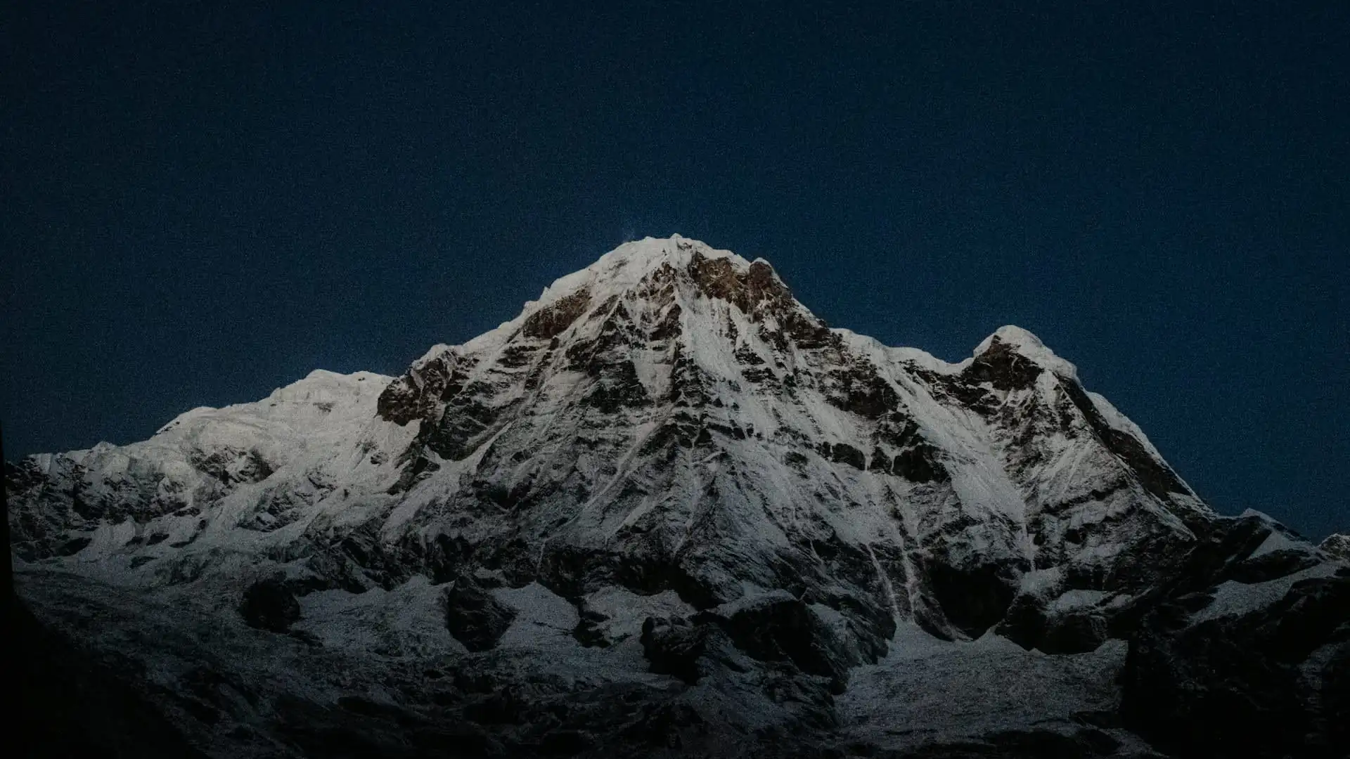
Every trekker and climber entering the Annapurna Conservation Area needs official permits. Rules here have shifted meaningfully in recent years, so it's worth being precise about what's currently required.
For Trekkers (ABC and Circuit)
Permit | Cost (foreign nationals) | Notes |
|---|---|---|
ACAP (Annapurna Conservation Area Permit) | NPR 3,000 (approx. USD 22-25) | Mandatory for all foreign trekkers entering the conservation area; checked at Birethanti, Chhomrong, and other checkpoints |
TIMS Card | NPR 2,000 (approx. USD 15-17) | Requirement has been inconsistently enforced since 2023; some sources report it discontinued for ABC, others say it's still checked at points along the Circuit — carrying reserve cash for it is the safer approach |
Licensed guide | Cost varies by operator | Solo/independent trekking without a licensed guide has been restricted since April 2023 for most Annapurna routes |
SAARC nationals (from neighboring South Asian countries) generally pay reduced permit rates, and children under 10 are typically exempt from permit fees entirely. Permits can be arranged in advance online through the ACAP e-permit portal, or in person in Kathmandu or Pokhara — most trekking agencies, including full-service operators, handle this paperwork as part of a booked package.
For Climbers (Annapurna I Expedition)
Climbing the summit itself requires a separate Department of Tourism expedition permit, distinct from trekking permits.
Fee category | Approximate cost |
|---|---|
Government royalty (spring season, per climber) | Roughly USD 3,000 under the fee schedule effective from September 2025, though costs are seasonally discounted — historically around 50% in autumn and 25% in winter/summer |
Garbage management deposit | USD 3,000 per team for peaks above 8,000m in the Khumbu/Annapurna ranges, refundable against confirmed clean-camp verification |
Liaison Officer fee | Covers a mandatory government liaison officer who accompanies the expedition to base camp |
ACAP permit | NPR 3,000 per non-SAARC climber |
Royalty schedules are revised periodically by Nepal's Ministry of Tourism, so anyone planning an actual Annapurna I expedition should confirm current figures directly with the Department of Tourism or a registered expedition operator before budgeting.
Preparing for Annapurna: Fitness, Gear, and Altitude Safety
For trekkers (ABC or Circuit). Neither trek requires technical climbing skill, but both demand solid cardiovascular fitness and multi-day stamina — you're walking 4-8 hours daily on uneven stone stairs and steep switchbacks for a week or two straight. Training with regular hill walking, stair climbing, and long day hikes in the months before departure makes a real difference in enjoyment, if not in survival.
Layered clothing is essential, since daily temperature swings between valley floor and high pass can exceed 30°C. On the Circuit specifically, proper acclimatization days before the Thorong La crossing are non-negotiable — this is where the vast majority of serious altitude sickness incidents on the route occur.
For climbers. Annapurna I is not a mountain for anyone without prior 8,000-meter or serious high-altitude technical experience. Given its concentrated objective hazards — particularly the avalanche zone between Camp II and Camp III — most reputable expedition operators require documented prior experience on technical peaks before accepting climbers onto an Annapurna I team.
Altitude sickness basics. Acute Mountain Sickness (AMS) can affect anyone regardless of fitness level, typically starting above 2,500-3,000 meters. Warning signs include headache, nausea, dizziness, and disturbed sleep. The only reliable treatment for worsening symptoms is descent — pushing through severe symptoms at altitude is how AMS progresses into life-threatening High Altitude Pulmonary or Cerebral Edema (HAPE/HACE). Reputable guides build acclimatization days into every itinerary for exactly this reason, and trekkers should never feel pressured to skip them to save time.
Sustainable and Responsible Tourism in the Annapurna Conservation Area
The Annapurna Conservation Area is Nepal's largest protected area and one of the most visited trekking regions in the world, which brings real environmental and cultural pressure alongside the economic benefit tourism provides to hill communities.
ACAP permit fees exist specifically to fund conservation work in the region — trail maintenance, forest protection, and community development programs across the villages the treks pass through. Responsible trekking practice in the region includes staying on marked trails, carrying out non-biodegradable waste rather than leaving it at teahouses, respecting local customs around dress and behavior in villages (particularly near temples and monasteries), and supporting locally owned teahouses and guiding services rather than routing all spending through outside operators.
The mandatory-guide policy introduced in 2023 was framed partly around this same idea — supporting local employment while improving search-and-rescue traceability for trekkers who run into trouble on remote sections of trail.
The People and Culture of the Annapurna Region
Part of what makes both the ABC and Circuit treks so rewarding is the cultural range they cover in a relatively short distance. Lower valleys near the trailheads are predominantly home to Gurung and Magar communities, whose stone-and-slate villages, terraced fields, and Hindu-influenced customs define the early stages of both treks. Ghandruk and Chhomrong on the ABC route are classic examples — traditional Gurung villages with carved wooden windows and some of the clearest early mountain views on the trail.
Higher up, particularly along the Circuit's northern stretch through Manang and toward Mustang, the culture shifts distinctly toward Tibetan Buddhist tradition — visible in prayer flags, chortens, and centuries-old monasteries like the Braga Gompa near Manang.
Muktinath, on the western side of Thorong La, is one of the holiest pilgrimage sites in the Himalaya, sacred to both Hindus and Buddhists, and marks one of the more spiritually significant points on the entire route.
Planning Your Trip with a Local Nepal Operator
Every permit rule, seasonal window, and safety consideration above points to the same practical conclusion: the difference between a trip that goes well and one that doesn't usually comes down to local knowledge — knowing which checkpoint is currently enforcing which permit, how a particular week's weather is trending on Thorong La, which teahouses are reliably staffed in shoulder season, and how to build acclimatization into an itinerary without wasting days.
That's the value a Nepal-based operator like Adventure Life Nepal brings that a booking site or a generic international agency generally can't — licensed local guides who know these trails personally, current and accurate permit handling, and itineraries built around actual on-the-ground conditions rather than a template.
Whether the goal is a well-paced Annapurna Base Camp trek with proper acclimatization, a full Annapurna Circuit crossing timed to avoid Thorong La's worst weather, or logistics support for a serious Annapurna I expedition, working with a team based in Nepal — rather than one simply reselling a Nepal-based itinerary from abroad — tends to make the difference between a trip that's memorable for the right reasons and one that isn't.
Frequently Asked Questions about Annapurna I Nepal
1. How tall is Annapurna I?
Annapurna I stands at 8,091 meters (26,545 feet), making it the 10th highest mountain in the world.
2. Where is Annapurna I located?
It's located in the Annapurna Massif in Gandaki Province, central Nepal, roughly northwest of the city of Pokhara.
3. Who was the first person to climb Annapurna I?
Frenchmen Maurice Herzog and Louis Lachenal reached the summit together on June 3, 1950, making Annapurna I the first 8,000-meter peak ever climbed by humans — three years before Everest was first summited.
4. Why is Annapurna I called the deadliest mountain in the world?
Because it has the highest fatality-to-summit ratio of any 8,000-meter peak. Cumulative Himalayan Database figures put the all-time rate at roughly 13.4% (75 deaths across 559 ascents as of early 2025), though the historical rate through the mountain's first several decades was much higher, closer to 30-38%. Most fatalities occur at a single avalanche-prone zone around 5,900 meters.
5. Is Annapurna I more dangerous than Mount Everest?
By fatality-to-summit ratio, yes, significantly. Everest's modern rate is roughly 1-2.5%, while Annapurna's cumulative historical rate sits far higher, largely because Everest's standard route is heavily fixed-roped and commercially supported, while Annapurna's danger comes from an avalanche zone that cannot be engineered around.
6. Do I need to be an expert climber to visit Annapurna?
No. Trekking to Annapurna Base Camp or around the Annapurna Circuit requires no technical climbing skill — both are walking routes on established trails. Only summiting Annapurna I itself requires serious high-altitude mountaineering experience.
7. How long does the Annapurna Base Camp trek take?
Most guided itineraries run around 7 to 12 days round-trip from Pokhara, covering roughly 110 km with about 3,300 meters of cumulative elevation gain to the sanctuary at 4,130 meters.
8. How long is the Annapurna Circuit trek?
Modern itineraries using road access on lower sections typically take 12-16 days, though shorter jeep-supported versions can be completed in as little as 8-11 days. The classic full-length route, before road construction, took 18-21 days.
9. What permits do I need for Annapurna trekking?
The Annapurna Conservation Area Permit (ACAP) is mandatory for all foreign trekkers, currently NPR 3,000 (roughly USD 22-25). A licensed guide has also been required on most Annapurna routes since April 2023.
10. When is the best time to trek in the Annapurna region?
Spring (March-May) and autumn (September-November) are the two prime seasons, offering the most stable weather and clearest mountain views. Autumn is generally considered the single best window for visibility.
11. Is the Annapurna Base Camp trek harder than Everest Base Camp?
Generally considered comparable or slightly less demanding — ABC reaches a lower maximum altitude (4,130m vs. roughly 5,364m at Everest Base Camp) and doesn't require the Lukla flight, though both involve multiple days of sustained walking on steep terrain.
12. What is Thorong La pass?
Thorong La, at 5,416 meters, is the highest point on the Annapurna Circuit trek and one of the highest trekking passes in the world, connecting the Manang valley to Muktinath and the Mustang region.
13. Can beginners do the Annapurna Circuit?
Yes, with proper preparation. The gradual elevation profile allows for solid acclimatization before the Thorong La crossing, and many first-time high-altitude trekkers complete it successfully — but fitness, pacing, and respecting acclimatization days matter significantly.
14. How much does climbing Annapurna I cost?
Government royalty fees alone run into the thousands of dollars per climber depending on season, before factoring in guiding, logistics, garbage deposits, and liaison officer costs — full commercial expedition packages typically run into the tens of thousands of dollars, in line with other 8,000-meter peaks.
Final Thoughts on Annapurna I Nepal
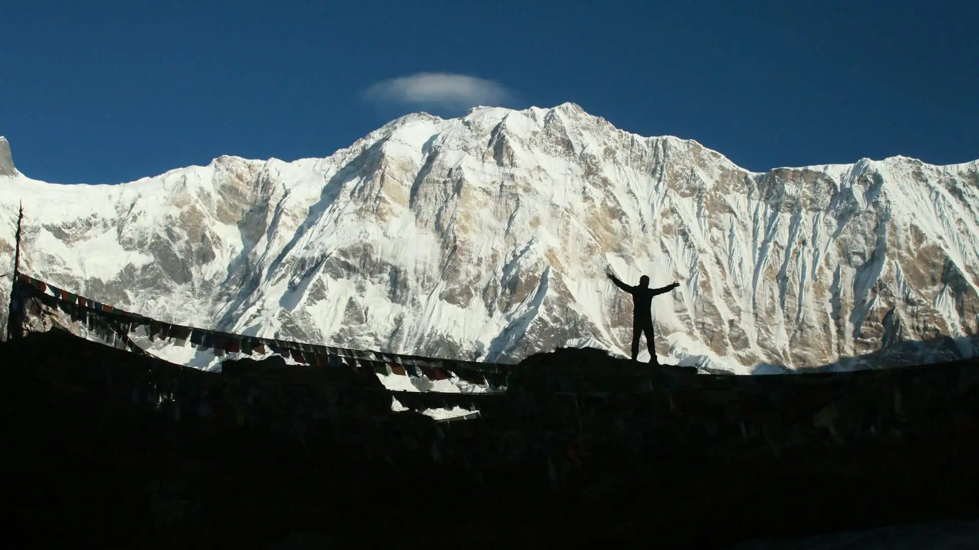
Annapurna I occupies a strange dual identity in the world of mountains: a place of genuine historical importance — the very first 8,000-meter summit ever reached — and simultaneously one of the most statistically dangerous objectives in mountaineering. For the tiny number of elite climbers who attempt its summit, it demands total respect and serious experience.
For everyone else, it offers something rarer: the chance to stand in a natural amphitheater at 4,130 meters, surrounded by some of the tallest mountains on Earth, having walked there on nothing more technical than a well-worn trail through rice paddies, rhododendron forest, and Gurung stone villages.
That's the real story of Annapurna — not just the deadliest mountain in the world, but one of the most accessible great mountain experiences anywhere on the planet, depending entirely on which side of the base camp line you choose to stand on.