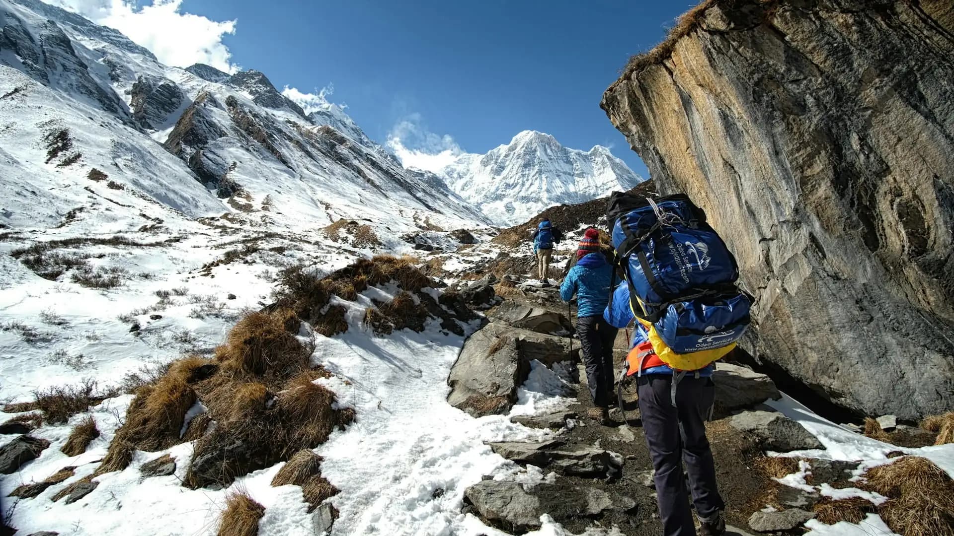
How Many Miles Is the Annapurna Circuit Trek?
How Many Miles Is Annapurna Circuit? The short answer is the classic Annapurna Circuit runs roughly 100 to 145 miles (160 to 230 kilometers) on foot, depending on where you start, where you end, and how much of the modern road network you walk versus skip by jeep.
That's a genuinely wide range for a single trek, and it isn't a case of unreliable information — it reflects a real, ongoing transformation of the route itself. Roads have crept into the Marsyangdi and Kali Gandaki valleys over the past two decades, shortening the "mandatory" walking distance for many trekkers, while alternative trail networks have been built specifically to route hikers away from those roads and back onto quieter paths.
This guide breaks down exactly why the mileage varies so much, what the day-by-day distances actually look like, and how to think about "how far will I really walk" for your specific itinerary.
Annapurna Circuit distance at a glance
Measurement | Distance |
|---|---|
Classic full circuit (Besisahar to Nayapul, walking) | 160–230 km (100–145 miles) |
Modern shortened route (jeep-assisted lower sections) | 100–120 km (62–75 miles) |
Wikipedia-cited total route length | 131 km (81 miles) core measured route; total varies 160–230 km (100–145 mi) depending on start/end and transport use |
Total elevation gain/loss | 4,107 m (13,474 ft) |
Highest point | Thorong La Pass, 5,416 m (17,769 ft) |
Typical daily walking distance | 10–15 km (6–9 miles) |
Longest single days | 20+ km (12+ miles) |
Typical trek duration | 12–20 days |
Difficulty | Moderate to difficult |
Why There's No Single "Correct" Mileage
Anyone researching this trek quickly notices that different sources cite wildly different totals — some say 96 kilometers, others say 260 kilometers, and a few even cite figures well above 600 kilometers.
This isn't a sign that anyone is getting it wrong; it reflects three genuinely different things being measured under the same name:
1. Walking-only distance versus total journey distance. Some figures measure only the portion actually walked on foot. Others fold in the driving distance from Kathmandu to the trailhead and back from Pokhara to Kathmandu at the end — a very different number, since those drives alone can add 400+ kilometers of vehicle travel that has nothing to do with the trekking itself. When a source cites something like "677 kilometers total," it's almost always combining walking and driving distance into one figure, which is a meaningful but different question than "how far will I walk."
2. Where the trek starts and ends. The traditional starting point is Besisahar, and the traditional finishing point was historically Pokhara via Nayapul — but modern itineraries now commonly start further up the valley (at Syange, Jagat, Dharapani, or even Chame) by using jeep transport to skip the lower Marsyangdi valley, which has been substantially paved with a motorable road in recent years. Starting higher up the trail can shave 50 to 60 kilometers (30 to 37 miles) off the total walking distance without meaningfully changing the core experience of the trek — the high-altitude sections, Manang, Thorong La, and Muktinath all remain unchanged.
3. Road development versus NATT trail alternatives. Since the mid-2000s, a rural road has extended progressively deeper into the Annapurna region — reaching Manang on the eastern (Marsyangdi) side and Muktinath/Jomsom on the western (Kali Gandaki) side. This has genuinely changed the trek: what was once a roughly three-week walking-only route from Besisahar to Pokhara has been shortened for many trekkers who now jeep past dusty, less scenic lower sections.
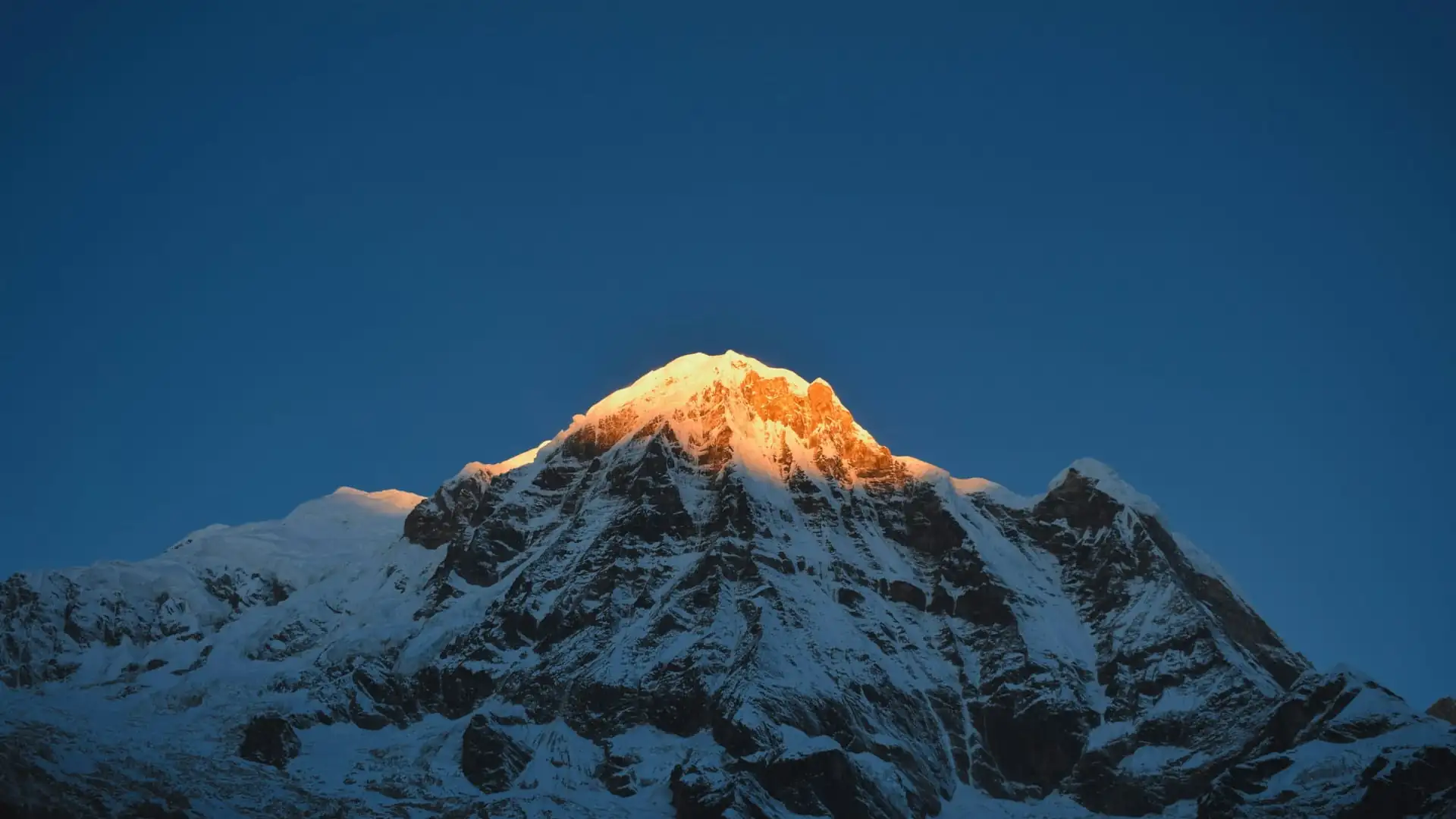
In response, the Annapurna Conservation Area Project (ACAP), working with independent trekking advocates, developed the New Annapurna Trekking Trail (NATT) system — a network of alternative paths marked with blue-and-white or red-and-white trail markers, specifically designed to route trekkers away from the road and back onto quieter, more traditional trails through forests and villages.
Choosing to walk the NATT trails instead of driving the equivalent road sections adds distance back onto the total, since these alternative paths are frequently longer (though more scenic and less dusty) than the direct road route.
Factor | Effect on total mileage |
|---|---|
Starting at Besisahar vs. Dharapani/Chame | Adds 30–60 km (19–37 miles) if starting lower |
Using jeep for lower valley sections | Reduces walking distance by 50–60 km (30–37 miles) |
Walking NATT trails instead of the road | Adds distance back, but improves trail quality/scenery |
Adding Tilicho Lake side trip | Adds roughly 25–30 km (15–18 miles) |
Adding Poon Hill extension | Adds roughly 5–7 km (3–4 miles) and 1 day |
Ending at Nayapul (full loop) vs. flying out from Jomsom | Adds the entire western descent leg if walked rather than flown |
The Most Reliable Baseline Figure
Cutting through the wide range of numbers circulating online, the most consistently cited and broadly authoritative figure — echoed across Wikipedia's geographic reference entry and most established trekking operators — puts the classic, full walking version of the Annapurna Circuit at 160 to 230 kilometers, or roughly 100 to 145 miles, depending on exactly where the trek starts and ends and how much of the road network is walked versus driven.
This range represents the honest, defensible answer to "how many miles is the Annapurna Circuit" — not a single fixed number, but a genuine range driven by real, well-documented route variables rather than inconsistent reporting.
For trekkers who want a single practical planning figure: budget for roughly 110 to 145 miles (175 to 230 km) of actual walking if doing a fairly complete version of the circuit from a reasonably traditional starting point (Besisahar, Bhulbhule, or Jagat) through to Nayapul or Pokhara, and closer to 65 to 80 miles (105 to 130 km) if using jeep transport to skip the lower Marsyangdi valley sections and starting the walk from Dharapani or Chame instead — a genuinely popular modern compromise that preserves the trek's most scenic and culturally significant stretches while cutting several days of driving-adjacent, road-paralleling walking from the itinerary.
Day-by-Day Distance Breakdown: A Realistic 14-16 Day Itinerary
Here's what the mileage actually looks like stage by stage on a commonly used itinerary — one that starts with a partial jeep assist through the lower valley and walks the remainder of the classic route through to Nayapul.
Day | Route segment | Distance (km) | Distance (miles) | Approx. walking time |
|---|---|---|---|---|
1 | Kathmandu to Besisahar (drive), then Besisahar to Ngadi/Bahundanda (trek) | ~10–12 km walked | ~6–7 mi | 3–4 hrs |
2 | Bahundanda to Chamje/Tal | 15–16 km | 9–10 mi | 5–6 hrs |
3 | Tal to Dharapani | 12–14 km | 7–9 mi | 5–6 hrs |
4 | Dharapani to Chame | 15.7 km | 9.8 mi | 5–6 hrs |
5 | Chame to Pisang | 15–17 km | 9–10.5 mi | 5–6 hrs |
6 | Pisang to Manang (via upper or lower route) | 17–20 km | 10.5–12.5 mi | 6–7 hrs |
7 | Rest/acclimatization day in Manang, with optional short hikes | 5–8 km (optional) | 3–5 mi | 2–4 hrs |
8 | Manang to Yak Kharka | 9–11 km | 5.5–7 mi | 3–4 hrs |
9 | Yak Kharka to Thorong Phedi or High Camp | 8–10 km | 5–6 mi | 3–5 hrs |
10 | Thorong Phedi/High Camp over Thorong La Pass to Muktinath | 15–18 km | 9–11 mi | 7–10 hrs |
11 | Muktinath to Jomsom | 18–20 km | 11–12.5 mi | 5–6 hrs |
12 | Jomsom to Marpha or Tatopani (jeep/walk combination common here) | Variable, 15–30 km | 9–19 mi | 4–8 hrs |
13 | Tatopani to Ghorepani | 12–15 km | 7.5–9.5 mi | 6–7 hrs |
14 | Ghorepani, Poon Hill sunrise hike, then to Tadapani/Ghandruk | 12–15 km | 7.5–9.5 mi | 5–7 hrs |
15 | Ghandruk to Nayapul, drive to Pokhara | 15–20 km | 9–12.5 mi | 5–6 hrs |
Totaling these stages gives a realistic full-trek walking distance in the neighborhood of 180 to 220 kilometers (112 to 137 miles) for this particular route variant — comfortably within the broader 160-to-230-km range cited as the standard for the classic circuit, and illustrating exactly how the day-by-day numbers add up to that headline figure.
Key long days to budget for:
Thorong La crossing day (Thorong Phedi/High Camp to Muktinath) is consistently the longest and hardest single day, combining roughly 9 to 11 miles of distance with a 900-to-950-meter net elevation change and 7 to 10 hours of walking time, most of it at extreme altitude.
Pisang to Manang and Muktinath to Jomsom are also comparatively long days by distance, though considerably less demanding physically than the pass-crossing day itself.
How the Road Has Changed the Trek's Mileage Over Time
It's worth understanding the trek's mileage history to make sense of why current figures differ so much from older guidebook numbers. Before significant road construction reached the region, the traditional Annapurna Circuit ran the full distance from Besisahar (or even Dumre, further south) all the way around to Pokhara entirely on foot, historically cited as roughly 230 kilometers (143 miles) and taking a full three weeks or more to complete without any driving shortcuts.
That figure has meaningfully shrunk in practice for most contemporary trekkers, not because the physical trail itself has moved, but because a motorable road now reaches significantly further into the region than it once did:
On the eastern (Marsyangdi) side, the road now extends as far as Manang, meaning trekkers can, if they choose, jeep or bus a substantial portion of what was once a multi-day walk-in through the lower valley.
On the western (Kali Gandaki) side, the road reaches Muktinath and continues through the Jomsom area, similarly allowing trekkers to skip sections of the lower descent that were once walked in their entirety.
As a direct result, the "mandatory" walking distance for a trekker who takes maximum advantage of available road transport has fallen to somewhere in the 100-to-120-kilometer (62-to-75-mile) range for a compressed 10-to-14-day itinerary — while trekkers who deliberately choose to walk the full classic route, either along the road itself or via the NATT trail alternatives built specifically to avoid it, still cover something much closer to the traditional 160-to-230-kilometer (100-to-145-mile) range.
Era / approach | Approximate walking distance |
|---|---|
Traditional full circuit (pre-road, historic) | ~230 km (143 miles) |
Classic route today, walking NATT trails throughout | 160–230 km (100–145 miles) |
Modern jeep-assisted shorter itinerary | 100–120 km (62–75 miles) |
Heavily jeep-assisted "highlights only" itinerary | As low as 96 km (60 miles) walking |
Side Trips That Add Miles to the Total
Several popular detours and extensions are commonly added onto the core circuit, and each meaningfully changes the total mileage a trekker actually covers — worth accounting for separately from the "base" circuit figure, since they're genuinely optional but very commonly included.
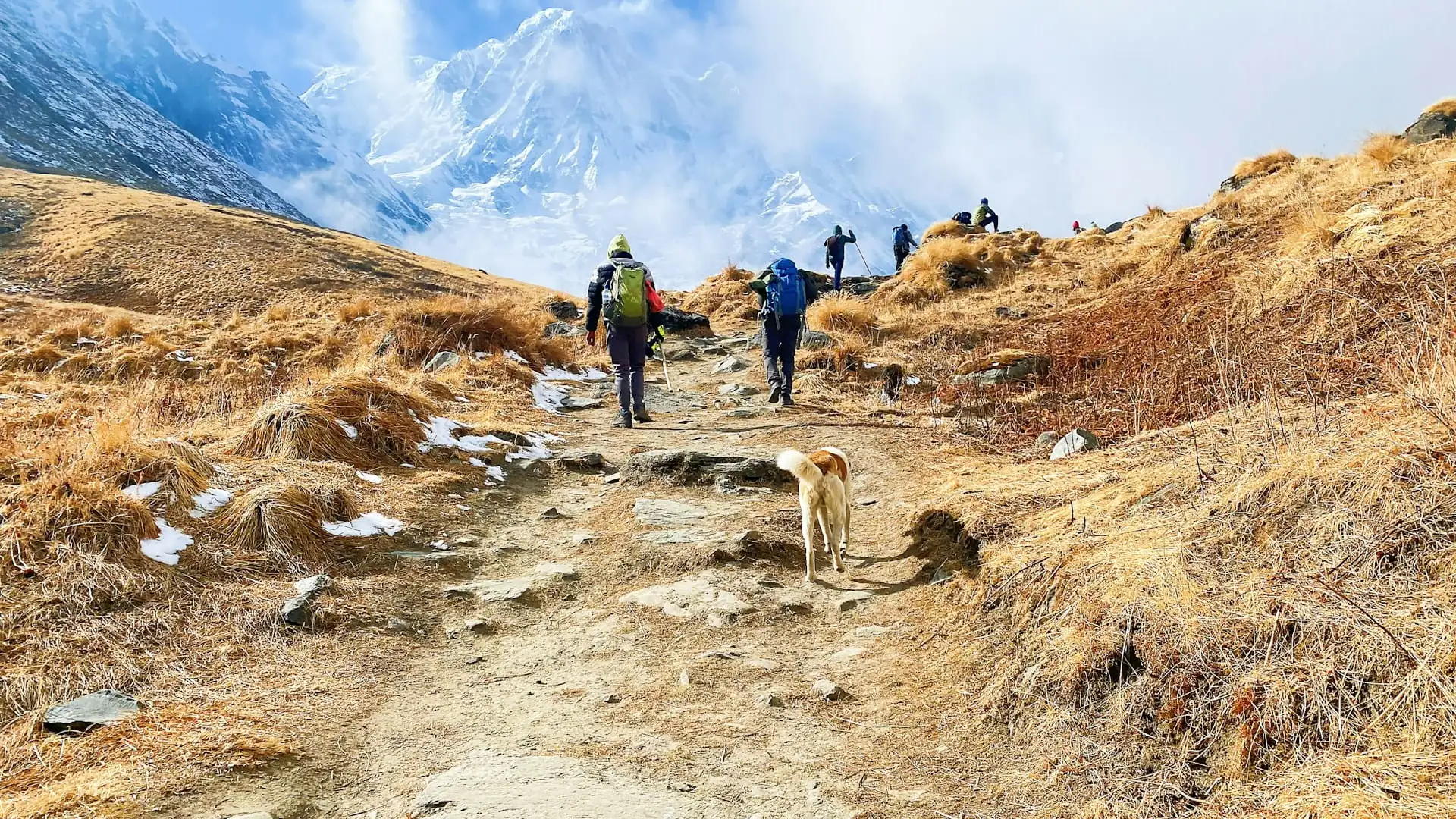
Tilicho Lake. A detour from Manang to Tilicho Lake — one of the highest lakes in the world at 4,919 meters — adds roughly 25 to 30 kilometers (15 to 18 miles) to the total trek and typically requires 3 to 4 additional days beyond a standard itinerary. This is one of the most popular add-ons for trekkers with extra time, both for the lake itself and for the genuinely spectacular high-altitude terrain the detour passes through.
Poon Hill. Commonly tacked onto the final stages of the circuit near Ghorepani, the short side hike up to the famous Poon Hill sunrise viewpoint (3,210 m) adds roughly 5 to 7 kilometers (3 to 4 miles) and typically one additional day, in exchange for one of the most celebrated panoramic sunrise views over the Annapurna and Dhaulagiri ranges anywhere in Nepal.
Nar Phu Valley. A more remote, restricted-area detour branching off from the main Marsyangdi valley route, Nar Phu adds considerably more distance and several extra days for trekkers seeking a genuinely off-the-beaten-path extension, requiring its own separate restricted area permit distinct from the standard ACAP.
Ice Lake (Kicho Tal). A shorter acclimatization-day hike from Manang up to Ice Lake, at roughly 4,600 meters, adds a modest few kilometers as an out-and-back day trip rather than a multi-day detour, and is frequently used specifically as an acclimatization hike ahead of the push toward Thorong La.
Side trip | Added distance | Added time |
|---|---|---|
Tilicho Lake | ~25–30 km (15–18 miles) | 3–4 days |
Poon Hill | ~5–7 km (3–4 miles) | 1 day |
Nar Phu Valley | Highly variable, often 40+ km (25+ miles) | 4–7 days |
Ice Lake (Kicho Tal) | ~10–12 km round trip (6–7.5 miles) | Same-day (no extra overnight) |
How the Annapurna Circuit's Mileage Compares to Other Nepal Treks
Putting the Annapurna Circuit's distance in context against Nepal's other major trekking routes helps calibrate expectations, since raw mileage alone doesn't capture difficulty (elevation gain, altitude, terrain all matter just as much), but it's still a genuinely useful comparison point.
Trek | Approximate walking distance | Approximate duration |
|---|---|---|
Poon Hill Trek | ~35–45 km (22–28 miles) | 4–5 days |
~90–115 km (56–71 miles) | 7–12 days | |
~65–80 km (40–50 miles) | 7–10 days | |
~130–140 km (80–87 miles) round trip | 12–14 days | |
Annapurna Circuit Trek | 160–230 km (100–145 miles) | 12–20 days |
Manaslu Circuit Trek | ~150–180 km (93–112 miles) | 14–18 days |
Great Himalaya Trail (full) | ~1,700 km (1,050+ miles) | 150+ days |
The Annapurna Circuit sits among the longer of Nepal's "standard" multi-day treks by distance — noticeably longer than Everest Base Camp when measured purely in miles walked, even though EBC tops out at a higher final altitude (5,364 m at Base Camp, 5,644 m at Kala Patthar, versus the Circuit's 5,416-meter Thorong La Pass).
This is a genuinely useful distinction for trekkers weighing the two routes against each other: EBC involves a shorter total walking distance concentrated around a higher average altitude, while the Annapurna Circuit covers substantially more horizontal ground across a wider range of elevations and climate zones, from subtropical valleys near Besisahar to the high desert terrain approaching Manang and beyond Thorong La toward Muktinath.
Elevation Gain: The Other Half of the "Distance" Question
Raw mileage alone understates how demanding the Annapurna Circuit actually is, because the trek's total elevation gain and loss is genuinely enormous relative to its horizontal distance. The commonly cited figure for cumulative elevation gain across the full circuit is approximately 4,107 meters (13,474 feet) — meaning the trek isn't simply a long, flat walk of 100-plus miles, but a route that climbs and descends repeatedly across river valleys and mountain passes throughout its length, culminating in the single dramatic 5,416-meter high point at Thorong La.
This matters practically because two treks with similar horizontal mileage can feel dramatically different depending on how much climbing is packed into that distance. A flat 15-kilometer day along a river valley feels entirely different from a 15-kilometer day that includes 800 meters of net elevation gain — and the Annapurna Circuit includes plenty of both types of days, which is part of why daily walking time is often a more useful planning metric than raw distance alone.
Elevation reference point | Elevation |
|---|---|
Besisahar (trek start) | 760 m (2,493 ft) |
Manang (major acclimatization stop) | 3,519 m (11,545 ft) |
Thorong La Pass (highest point) | 5,416 m (17,769 ft) |
Muktinath (west side descent) | 3,760 m (12,336 ft) |
Nayapul (trek end, near Pokhara) | ~1,070 m (3,510 ft) |
Total elevation gain/loss (cumulative) | ~4,107 m (13,474 ft) |
Daily Walking Distances: What to Actually Expect
Rather than fixating purely on the total trek mileage, it's genuinely more useful for planning purposes to understand the range of daily distances trekkers typically cover, since this varies considerably by stage and by how much altitude change is involved on any given day.
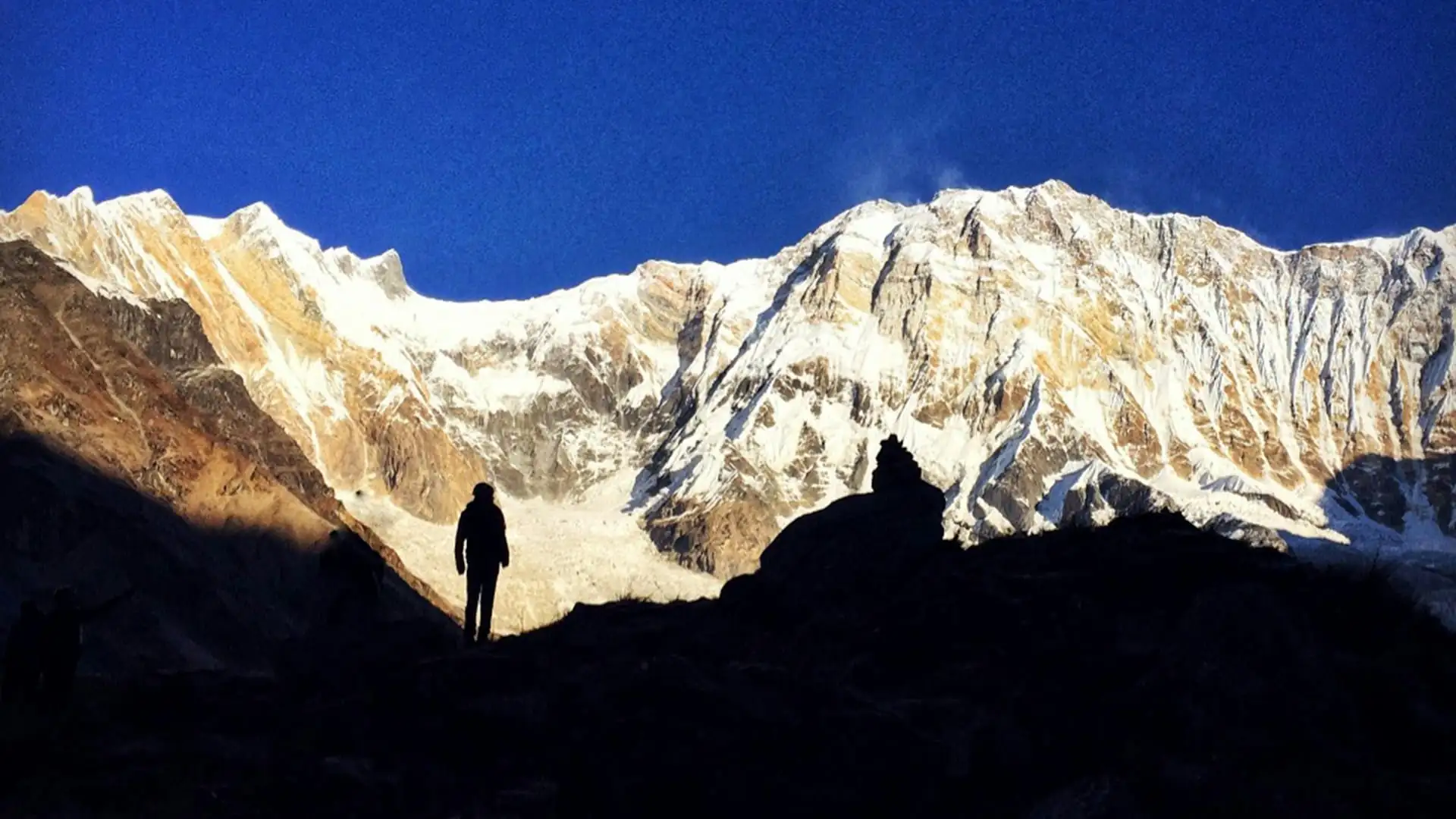
Shorter acclimatization days (particularly around Manang, and the day before crossing Thorong La) typically run 5 to 10 kilometers (3 to 6 miles), deliberately kept short to allow the body time to adjust to increasing altitude rather than pushing distance for its own sake.
Standard trekking days through the middle sections of the route typically run 10 to 15 kilometers (6 to 9 miles), taking roughly 5 to 6 hours of walking time depending on terrain and elevation change.
Longer days, including the Thorong La crossing itself and several of the lower-valley stretches, can run 15 to 20-plus kilometers (9 to 12-plus miles), sometimes stretching to 7 to 10 hours of walking, particularly on pass-crossing day.
Day type | Typical distance | Typical walking time |
|---|---|---|
Acclimatization / rest days | 5–10 km (3–6 mi) | 2–4 hours |
Standard trekking days | 10–15 km (6–9 mi) | 5–6 hours |
Longer valley/descent days | 15–20 km (9–12 mi) | 5–7 hours |
Thorong La crossing day | 15–18 km (9–11 mi) | 7–10 hours |
Factors That Genuinely Change Your Personal Total Mileage
Beyond the broad route-length ranges already discussed, several individual choices meaningfully affect how many actual miles a given trekker ends up walking:
Starting point. Beginning at Besisahar versus Dharapani versus Chame changes the total by 30 to 60 kilometers (19 to 37 miles), since each of these represents a progressively later entry point into the classic route, skipping an increasing share of the lower Marsyangdi valley.
Ending point. Flying out from Jomsom rather than continuing to walk the full western descent through Tatopani, Ghorepani, and Ghandruk to Nayapul removes a substantial portion of the route's total distance — a popular choice for trekkers with limited time or who've already crossed the trek's main highlight (Thorong La) and are less interested in the lower-elevation return leg.
NATT trail use versus road walking. Choosing the alternative NATT trails over the more direct road route in sections where both exist typically adds distance (since NATT trails are often less direct, curving through villages and forest rather than following the road's more efficient grade), but delivers a considerably more pleasant, traditional trekking experience away from vehicle dust and traffic.
Side trips. As covered above, detours like Tilicho Lake, Poon Hill, or Nar Phu Valley each add their own distinct mileage on top of the base circuit figure.
Jeep or local bus use on specific sections. Many trekkers use motorized transport selectively — for instance, taking a jeep through a particularly dusty or unpleasant road-paralleling stretch while walking the rest — rather than making an all-or-nothing choice between fully walking or fully driving the lower valley.
Why the Mileage Question Matters for Trip Planning
Understanding the real range of Annapurna Circuit distances isn't just academic — it directly affects three practical planning decisions:
1. How many days to budget. A trekker planning around the lower end of the range (100–120 km / 62–75 miles, using jeep transport through the lower valley) can realistically complete the trek in 10 to 14 days. A trekker aiming for the full classic experience (160–230 km / 100–145 miles, walking the complete route including NATT trail sections) should budget closer to 16 to 20 days, particularly if adding side trips like Tilicho Lake.
2. Physical preparation. Total mileage, combined with the roughly 4,107 meters of cumulative elevation gain, means genuine cardiovascular fitness and some prior hiking experience meaningfully improve the experience, even though the trek doesn't require technical climbing skill. Trekkers preparing for the full-distance version of the route benefit from building up to regular multi-hour hikes with a daypack in the months before departure.
3. Cost and logistics. Longer, fuller-distance itineraries generally cost more (more teahouse nights, more guide/porter days, more food), while shorter, jeep-assisted itineraries reduce both time and cost — a genuine trade-off worth discussing directly with a trekking agency when deciding which version of the circuit best fits a given budget and timeline.
How Adventure Life Nepal Structures Distance on the Circuit
Given how much the total mileage can vary depending on route choices, working with an experienced local operator matters more on this particular trek than on more fixed-route treks like Everest Base Camp.
Adventure Life Nepal builds Annapurna Circuit itineraries around a deliberate balance: using jeep transport strategically on the least scenic, most road-affected lower sections of the Marsyangdi valley, while keeping trekkers on foot and on NATT trails wherever those alternatives offer a genuinely better experience than walking alongside vehicle traffic — meaning trekkers get the authentic distance and difficulty of the classic circuit's most rewarding sections without unnecessary time spent walking dusty road shoulders that add mileage without adding much to the actual trekking experience.
This approach typically lands most Adventure Life Nepal circuit itineraries in the 130-to-170-kilometer (80-to-105-mile) range of actual walking distance across a 14-to-16-day itinerary — a genuine middle path between the shortest jeep-heavy compressed versions and the full 230-kilometer historic classic route, chosen specifically to maximize scenic and cultural value per mile walked rather than simply maximizing or minimizing total distance for its own sake.
Frequently Asked Questions about How Many Miles Is the Annapurna Circuit Trek
How many miles is the Annapurna Circuit Trek?
The classic full circuit runs roughly 100 to 145 miles (160 to 230 km), depending on starting point, ending point, and how much of the route is walked versus driven. Modern shortened itineraries using jeep transport through lower sections can bring the walking distance down to 62 to 75 miles (100–120 km).Why do different websites give such different mileage figures?
Because they're measuring different things — some cite walking-only distance, others include the driving distance to and from the trailhead; some measure the traditional full route from Besisahar, others measure shortened modern itineraries starting from Dharapani or Chame.What's the single most reliable distance figure to plan around?
For a fairly complete version of the classic route, budget for 110 to 145 miles (175–230 km) of actual walking. For a jeep-assisted shorter itinerary, budget closer to 65 to 80 miles (105–130 km).How many miles do you walk per day on average?
Standard trekking days typically cover 6 to 9 miles (10–15 km), with shorter 3-to-6-mile acclimatization days around Manang and longer 9-to-12-mile days on the Thorong La crossing and certain lower-valley stretches.Is the Annapurna Circuit longer than the Everest Base Camp trek?
Yes, generally. The Annapurna Circuit's 100-to-145-mile range exceeds Everest Base Camp's roughly 80-to-87-mile round-trip distance, though EBC reaches a higher final altitude.Does adding Tilicho Lake change the total mileage significantly?
Yes — it adds roughly 15 to 18 miles (25–30 km) and 3 to 4 extra days to the standard itinerary.Can I shorten the total distance without missing the trek's main highlights?
Yes. Starting from Dharapani or Chame (using jeep transport for the lower Marsyangdi valley) and/or flying out from Jomsom instead of walking the full western descent both meaningfully reduce total mileage while preserving the trek's core highlights — Manang, Thorong La, and Muktinath.How does elevation gain affect the "difficulty" of the mileage?
Significantly. The trek's roughly 13,474 feet (4,107 m) of cumulative elevation gain means the total distance is considerably more demanding than a flat trek of equivalent mileage, since many days combine substantial horizontal distance with significant vertical climbing or descending.What's the longest single day of the trek by distance?
The Thorong La crossing day (from Thorong Phedi or High Camp to Muktinath) is typically the longest in terms of both distance and time, running roughly 9 to 11 miles and 7 to 10 hours of walking, largely due to the extreme altitude rather than distance alone.Do I need to walk the full 145-mile classic version to have a good experience?
No. Many trekkers, including most guided itineraries from operators like Adventure Life Nepal, use a strategically shortened route — jeep-assisted through the least scenic lower sections, on foot through the most rewarding high-altitude and cultural stretches — without meaningfully sacrificing the trek's core highlights.
Conclusion on How Many Miles Is the Annapurna Circuit Trek
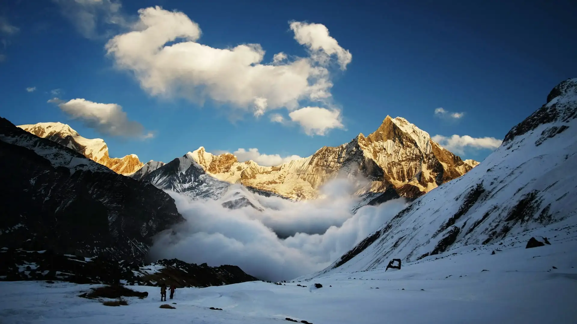
The honest answer to "how many miles is the Annapurna Circuit" isn't a single number — it's a genuine range shaped by real, well-documented choices: where you start, where you end, how much of the modern road network you walk versus skip, and which optional side trips you add along the way.
For most trekkers planning a fairly complete version of the classic route, 100 to 145 miles (160 to 230 km) remains the most reliable, broadly cited figure, while a growing number of trekkers now complete a meaningfully shorter, jeep-assisted 65-to-80-mile version that preserves the trek's most spectacular sections — Manang, Thorong La, and Muktinath — without the added mileage of the lower valley's increasingly road-paralleled trail.
Whichever version fits your timeline and goals, the number on the map matters less than what it represents: a multi-week journey through subtropical forest, high alpine desert, and one of the highest trekking passes in the world, and Adventure Life Nepal builds every circuit itinerary specifically to make those miles — however many you choose to walk — count for something genuinely worth the effort.