Where Is Manaslu Circuit & How to Get There: Access Guide
The Manaslu Circuit is located in west-central Nepal, in Gorkha district, within the Mansiri Himal range of the Himalayas — roughly 125 to 170 kilometers northwest of Kathmandu by road. It's built around Mount Manaslu itself, the world's eighth-highest mountain at 8,163 meters, and the trekking route that shares its name circles the massif's southern and western flanks before crossing into the neighboring Annapurna region near the trek's end.
If you're trying to place Manaslu Circuit on a map for the first time, or you're planning the practical journey to actually reach the trailhead, this guide covers both: exactly where the region sits relative to Kathmandu, Pokhara, and Nepal's other major trekking areas, and the real road access options for getting there in 2026.
Quick Answer: Where Is the Manaslu Circuit Located?
Detail | Information |
|---|---|
Country | Nepal |
Province | Gandaki Province |
District | Gorkha |
Mountain range | Mansiri Himal (part of the greater Himalayan range) |
Nearest major city | Kathmandu |
Approximate coordinates (Mount Manaslu) | 28.55°N, 84.56°E |
Distance from Kathmandu to trailhead (road) | Approximately 125–170 km |
Typical drive time from Kathmandu | 7–10 hours |
Trailhead | Machha Khola or Soti Khola |
Where the trek ends | Dharapani or Besisahar, Manang/Lamjung district |
Border proximity | Close to the Tibet (China) border in the trek's upper sections |
The Geography: Where Exactly Does Manaslu Sit?
Manaslu rises in Gorkha district, part of Nepal's Gandaki Province, in the west-central section of the country — roughly midway between the Kathmandu Valley to the east and the Annapurna massif to the west. It belongs to the Mansiri Himal, a sub-range of the greater Himalayas distinct from the Mahalangur Himal that contains Everest, or the Annapurna Himal further west.
The trekking route itself traces a rough horseshoe shape around the southern and western sides of the Manaslu massif, starting low in a subtropical river valley and climbing north toward the Tibetan border region before curving west and south again, crossing Larkya La Pass into Manang district and the Annapurna Conservation Area. This geography is part of why the Manaslu Circuit feels so varied — you're not just gaining altitude in a straight line, you're circling an entire mountain massif and passing through genuinely different cultural and ecological zones along the way.
How Far Is Manaslu Circuit from Kathmandu?
Measurement | Distance |
|---|---|
Straight-line distance (Kathmandu to Manaslu) | Approximately 100–115 km |
Road distance (Kathmandu to Soti Khola/Machha Khola) | Approximately 125–170 km, depending on exact route and current road conditions |
Typical drive time | 7–10 hours |
The gap between straight-line and road distance is considerably wider here than it would be on flatter terrain, since the route winds through Nepal's mountainous mid-hills via Dhading district rather than following any direct path.
How to Get to the Manaslu Circuit: Road Access from Kathmandu
Road transport is the standard and, in practice, the only realistic way most trekkers reach the Manaslu Circuit trailhead — there's no scheduled commercial flight serving this route the way Lukla serves Everest Base Camp.
Transport Option | Duration | Notes |
|---|---|---|
Private jeep/4WD | 6–9 hours | The most comfortable and recommended option, particularly past Arughat where road conditions roughen |
Public bus | 8–10+ hours | Considerably less comfortable, with more stops and a bumpier ride on the unpaved sections |
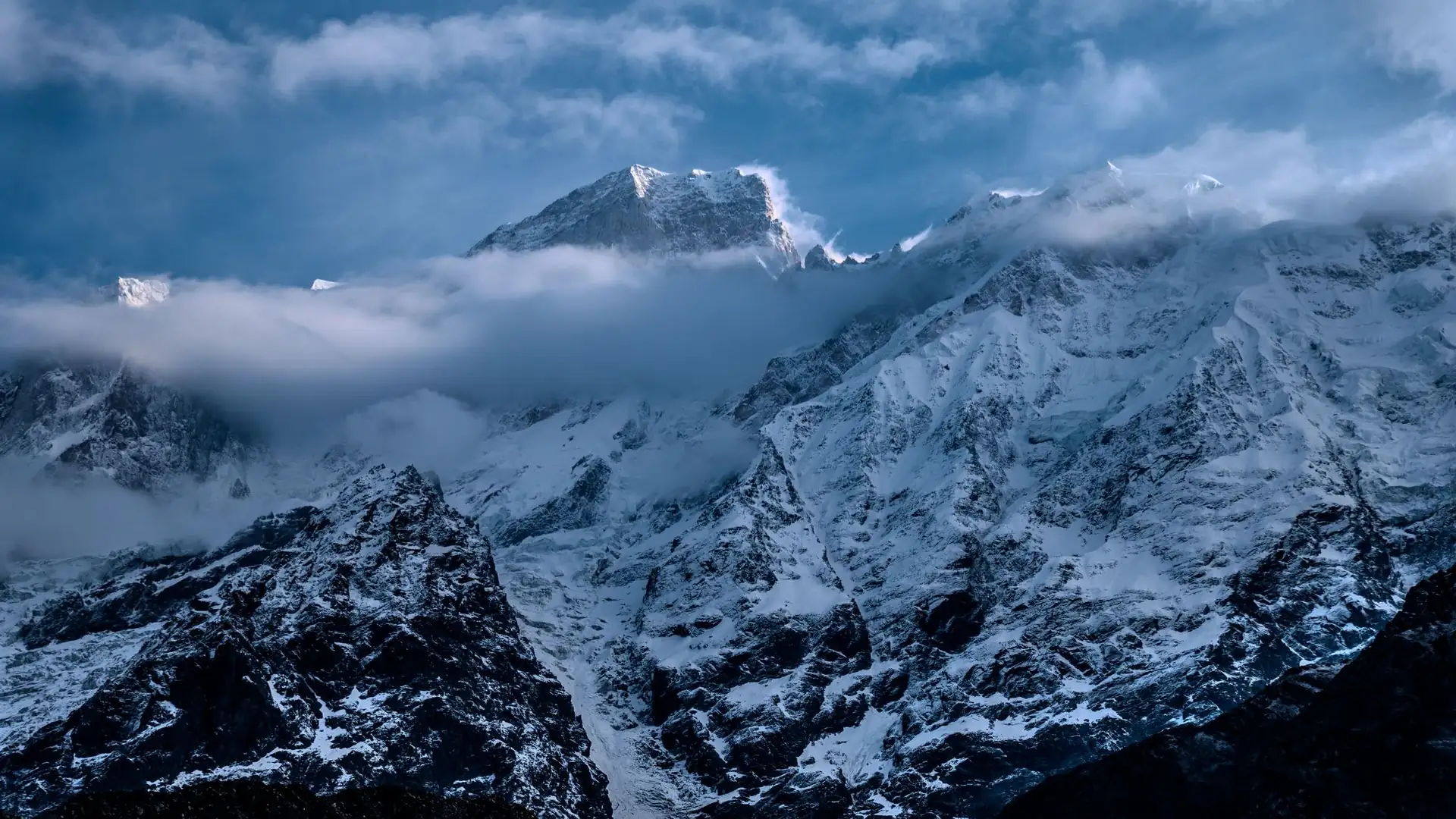
The route follows the paved Prithvi Highway (the same road connecting Kathmandu and Pokhara) before turning off toward Dhading Besi, after which the road becomes progressively narrower and rougher, particularly beyond Arughat Bazaar. This final stretch is genuinely part of the adventure for many trekkers — winding mountain road with views of Ganesh Himal, Langtang, and occasionally Manaslu itself appearing in the distance.
For the full breakdown of exactly how this journey fits into a standard itinerary, our Manaslu Circuit Trek starting point guide covers current road conditions and trailhead options in more detail, and our Manaslu Circuit Trek distance guide breaks down how this approach drive fits alongside the trek's full on-foot distance.
Is There Flight Access to the Manaslu Circuit?
Unlike Everest Base Camp, where a short Lukla flight is standard, there's no regular commercial flight option serving the Manaslu Circuit's trailhead. The trek is reached entirely by road from Kathmandu, which is actually part of its appeal for travelers wary of weather-related flight delays common on mountain airstrips elsewhere in Nepal. Helicopter charters are sometimes used for emergency evacuation or, less commonly, for a scenic or expedited exit from the upper valley, but this isn't standard trailhead access and comes at a considerably higher cost than the standard road journey.
Can You Reach the Manaslu Circuit from Pokhara?
This is a common point of confusion, since several of Nepal's other popular treks — Mardi Himal and Annapurna Base Camp among them — are accessed directly from Pokhara. The Manaslu Circuit is different: its starting point is reached from Kathmandu, not Pokhara, though the trek's far end, near Dharapani and Besisahar, sits close enough to the Annapurna region that some itineraries route the return journey through Pokhara rather than back to Kathmandu directly. If your broader Nepal trip includes both a Manaslu trek and time in Pokhara, it's worth planning this return-route flexibility with your agency in advance.
Where the Trek Ends: Exiting Through the Annapurna Region
While the Manaslu Circuit begins firmly within its own conservation area in Gorkha district, it doesn't end there. After crossing Larkya La Pass, the route descends into Manang district and the Annapurna Conservation Area, concluding at Dharapani — a village that also sits on the Annapurna Circuit's own trail network. From Dharapani, road transport continues to Besisahar, and from there back to Kathmandu or onward to Pokhara, depending on your itinerary.
Where Manaslu Sits Relative to Nepal's Other Major Trekking Regions
Region | Relative Location to Manaslu | Approximate Distance |
|---|---|---|
Annapurna region | Directly west/southwest, connected at the trek's end near Dharapani | Adjacent, trail-connected |
Langtang region | East of Manaslu, across the Ganesh Himal range | Roughly 60–80 km |
Everest/Khumbu region | Far to the east, across several intervening ranges | Roughly 240 km |
Kathmandu Valley | Southeast of Manaslu | 100–170 km depending on measurement method |
Pokhara | Southwest, reached via the Annapurna-region end of the trek | Variable, depending on return route chosen |
This positioning — close enough to Kathmandu for relatively quick road access, yet remote enough once you're on the trail to feel genuinely far from anywhere — is part of what makes the Manaslu Circuit distinct from treks accessed via Lukla or Pokhara.
What You'll Need Once You Arrive: Permits Tied to This Region
Because Manaslu sits within a government-designated restricted border area, defined as such by Nepal's Department of Immigration, reaching the region isn't just a matter of transport — it requires specific permits tied to this exact location: the Restricted Area Permit (RAP), the Manaslu Conservation Area Permit (MCAP), and, since the route exits through the Annapurna Conservation Area, the ACAP as well. Our full Manaslu Circuit Trek permit guide covers costs, documents, and the mandatory guide requirement in detail, and for the complete day-by-day route once you've reached the trailhead, our Manaslu Circuit Trek itinerary guide picks up exactly where this access guide leaves off.
Best Time to Travel to the Manaslu Region
Road access itself is generally passable year-round, though conditions vary meaningfully by season, which is worth factoring into when you plan your journey as much as when you plan the trek itself.
Season | Road Access Conditions |
|---|---|
Autumn (Sep–Nov) | Generally good; the most reliable road conditions following the monsoon |
Spring (Mar–May) | Generally good, stable conditions |
Monsoon (Jun–Aug) | Road conditions can deteriorate significantly, with landslide risk on the unpaved sections beyond Arughat |
Winter (Dec–Feb) | Generally passable, though early morning fog in the Kathmandu Valley can occasionally delay departures |
Our best time for Manaslu Circuit Trek guide covers the trekking-season picture in full, which pairs naturally with this access-focused guide when planning your travel dates.
A Practical Note on Reaching the Trailhead
If you're planning your own transport independently rather than through a guided package, a private jeep is worth the extra cost over a public bus, particularly given how rough the road becomes beyond Arughat — this isn't the kind of route where a few extra hours of discomfort is a minor trade-off against vehicle quality. Most guided Manaslu Circuit packages include this transport as standard, with drivers experienced on this specific route, which removes much of the logistical uncertainty around exactly how to get there in the first place.
Planning Your Journey to the Manaslu Circuit with Adventure Life Nepal
We arrange private jeep transport from Kathmandu directly to the trailhead as part of every Manaslu Circuit package, with drivers who know this specific road well — a genuinely useful thing given how much rougher the route becomes past Arughat compared to the paved highway earlier in the drive.
If you're still working out how this trek fits into a broader Nepal itinerary, including whether to route your return through Pokhara given the trek's Annapurna-region finish, that's a conversation worth having with us before you finalize your dates. You can view the full Manaslu Circuit Trek package, including trailhead transport and the complete permit arrangement, or reach out directly to talk through your specific route and timing questions.
Talk to an Expert Before You Book
Figuring out exactly where the Manaslu Circuit sits relative to your trip, and the best way to get there given your dates and travel plans, is genuinely easier as a direct conversation than piecing together from guides alone. Message us on WhatsApp at +977 9841248242 and we'll walk you through the access logistics, current road conditions, and how this trek fits alongside the rest of your Nepal itinerary.
FAQs about Where Is Manaslu Circuit
1. Where is the Manaslu Circuit Trek located? In Gorkha district, Gandaki Province, in west-central Nepal, within the Mansiri Himal range of the Himalayas.
2. How far is Manaslu from Kathmandu? Approximately 100–115 km in a straight line, or 125–170 km by road, with the drive typically taking 7 to 10 hours.
3. Can you fly to the Manaslu Circuit trailhead? No. Unlike Everest Base Camp's Lukla flight, there's no regular commercial flight serving this region — road transport from Kathmandu is the standard access method.
4. Is the Manaslu Circuit accessed from Pokhara or Kathmandu? From Kathmandu. Unlike Mardi Himal or Annapurna Base Camp, which start from Pokhara, the Manaslu Circuit's trailhead is reached by road from Kathmandu.
5. What district is Mount Manaslu in? Gorkha district, within Nepal's Gandaki Province.
6. How long does it take to drive from Kathmandu to the Manaslu trailhead? Typically 7 to 9 hours by private jeep, or 8 to 10+ hours by public bus, depending on road conditions.
7. What is the nearest major city to the Manaslu Circuit? Kathmandu, Nepal's capital, which serves as the starting point for the road journey to the trailhead.
8. Does the Manaslu Circuit trek end near Kathmandu or Pokhara? Neither directly — it ends at Dharapani in the Annapurna region, from which trekkers typically travel onward to either Kathmandu or Pokhara, depending on their itinerary.
9. Is Manaslu close to the Everest region? No, they're quite far apart — roughly 240 kilometers, in entirely different Himalayan sub-ranges, with several intervening mountain ranges between them.
10. What mountain range is Manaslu part of? The Mansiri Himal, a distinct sub-range of the greater Himalayas, separate from the Annapurna Himal and the Mahalangur Himal that contains Everest.
11. Is road access to Manaslu reliable year-round? Generally yes, though conditions deteriorate during monsoon season (June–August), when landslide risk increases on the unpaved sections beyond Arughat.
12. What's the trailhead town for the Manaslu Circuit? Machha Khola or Soti Khola, both in Gorkha district, reached via Arughat Bazaar from Kathmandu.
13. Does the Manaslu Circuit pass close to the Tibet border? Yes, the upper sections of the route, particularly around Samdo, sit close to the Tibet (China) border, which is part of why this is a government-restricted trekking area.
14. How far is Manaslu from the Annapurna region? They're directly connected — the Manaslu Circuit trail physically joins the Annapurna region's trail network near Dharapani, at the end of the standard route.
15. Can I combine a Manaslu Circuit trek with a Pokhara visit? Yes, many itineraries route the return journey through Pokhara given the trek's finish near the Annapurna region, rather than returning directly to Kathmandu.
16. What's the best way to travel to the Manaslu trailhead? Private jeep is recommended over public bus, given the rough road conditions beyond Arughat Bazaar and the considerably greater comfort and reliability it offers.
17. Is Manaslu located within a national park or conservation area? Yes, the Manaslu Conservation Area, managed by Nepal's National Trust for Nature Conservation, with the trek's final stretch also passing through the Annapurna Conservation Area.
18. How does Manaslu's location compare to Langtang's? Langtang sits east of Manaslu, across the Ganesh Himal range, roughly 60 to 80 kilometers away as a general regional distance.
19. Do I need a visa or special permit just to travel to the Manaslu region, separate from the trek itself? A standard Nepal entry visa is all that's required for travel to the region generally; the trek-specific Restricted Area Permit, Manaslu Conservation Area Permit, and Annapurna Conservation Area Permit are separate requirements for the trek itself.
20. Why is Manaslu's location considered more remote than Annapurna or Everest despite being closer to Kathmandu? Because road infrastructure beyond Arughat remains considerably less developed than the routes serving Pokhara or Lukla, meaning proximity on a map doesn't translate to easier or faster practical access.
Author: Dil Bahadur Karki