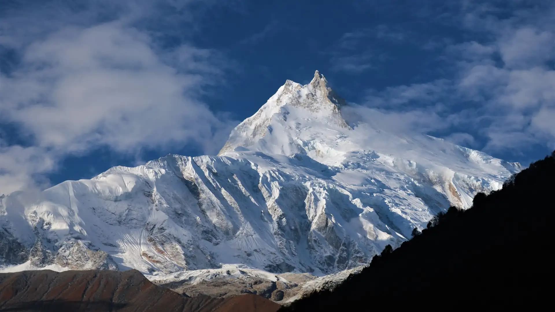
Manaslu Circuit Trek Distance: Total KM, Miles & Route Guide
Introduction to Manaslu Circuit Trek Distance
The Manaslu Circuit Trek covers approximately 150 to 177 kilometers (93 to 110 miles) of walking distance on the standard route from Machha Khola (or Soti Khola) to Dharapani, with GPS-tracked figures from various operators ranging as high as 195 kilometers when side trips like Manaslu Base Camp or additional route variants are included, and official permit-measured distances sometimes cited as low as 143.7 kilometers.
This guide breaks down exactly where that distance goes stage by stage, why the total varies across different sources, and what daily walking distances actually look like on the trail.
Manaslu Circuit Distance at a Glance
Measurement | Distance |
|---|---|
Standard route (Machha Khola/Soti Khola to Dharapani) | ~150–177 km (93–110 miles) |
Range across all cited sources | 143.7–195 km (89–121 miles) |
Typical daily distance | 8–22 km (5–14 miles), varying significantly by stage |
Longest single day (Larkya La crossing) | 16–25 km (10–15.5 miles) |
Drive distance, Kathmandu to Machha Khola | ~135–160 km |
Drive distance, Dharapani/Besisahar back to Kathmandu | ~175–220 km |
Total elevation gain | Approximately 4,200+ m from Machha Khola to Larkya La |
Why the Total Distance Varies So Much Between Sources
Anyone researching the Manaslu Circuit's exact distance will notice genuine inconsistency across trekking company websites — figures ranging from roughly 144 km to nearly 195 km appear across individually credible sources. As with most Nepal treks, this isn't sloppy reporting; it reflects several real route variables specific to this trek.
1. Starting point differs. Some itineraries start from Soti Khola, a few kilometers before Machha Khola, adding an extra 10 to 14 kilometers to the total compared to itineraries that start directly at Machha Khola.
2. Measurement method differs. Some figures reflect "official" or permit-related trek distance measurements (which tend to run lower, sometimes cited around 143.7 km), while GPS-tracked distances recorded by guides and trekkers on the ground tend to run higher (commonly 160–177 km), reflecting the actual switchbacks, river crossings, and trail windings that straight-line or official measurements don't fully capture.
3. Whether side trips are included. The optional Manaslu Base Camp excursion from Samagaon (typically an 8-kilometer round trip) and any Tsum Valley extension are sometimes folded into total distance figures and sometimes reported separately, creating meaningful variance depending on which approach a given source takes.
4. Exact route variant near the end of the trek. Some itineraries end precisely at Dharapani, while others continue a short distance further to Tilije, Goa, or all the way to Besisahar, each adding a different final distance.
Factor | Effect on total distance |
|---|---|
Soti Khola vs. Machha Khola start | Adds roughly 10–14 km if starting from Soti Khola |
Official/permit measurement vs. GPS tracking | GPS figures typically run 15–30 km higher than official figures |
Manaslu Base Camp side trip included or excluded | Adds approximately 8 km round trip if included |
Tsum Valley extension included or excluded | Adds considerably more — this represents a separate multi-day extension |
Exact finishing point (Dharapani vs. Tilije vs. Besisahar) | Can add several additional kilometers depending on endpoint |
The Most Reliable Baseline Figure
Cutting through the range of numbers in circulation, the most consistently cited figure for the standard Manaslu Circuit — from Machha Khola or Soti Khola to Dharapani, based on GPS-tracked recordings rather than official minimum-distance figures — sits at approximately 160 to 177 kilometers (100 to 110 miles). This is the figure to use for realistic planning purposes for the standalone trek, without additional side trips.
Day-by-Day Distance Breakdown of 13-Day Itinerary
Here's a composite, representative daily distance breakdown for a standard Manaslu Circuit itinerary, drawing on the most consistently reported figures across multiple current sources.
Day | Route segment | Distance (km) | Distance (miles) | Approx. walking time |
|---|---|---|---|---|
1 | Kathmandu to Machha Khola (drive) | ~135–160 km (drive) | ~84–99 mi (drive) | 7–10 hours |
2 | Machha Khola to Jagat | ~17–22 km | ~10.5–13.8 mi | 6–8 hours |
3 | Jagat to Deng | ~19–20 km | ~11.8–12.4 mi | 6–8 hours |
4 | Deng to Namrung | ~17–20 km | ~10.5–12.4 mi | 6–8 hours |
5 | Namrung to Lho | ~10–12 km | ~6–7.5 mi | 4–6 hours |
6 | Lho to Samagaon | ~7–9 km | ~4.3–5.6 mi | 3–4 hours |
7 | Acclimatization day at Samagaon (optional Manaslu Base Camp or Birendra Lake hike) | ~6–10 km (optional) | ~3.7–6.2 mi | 3–7 hours (optional) |
8 | Samagaon to Samdo | ~8–9 km | ~5–5.6 mi | 3–4 hours |
9 | Samdo to Dharamsala (Larkya Phedi) | ~6–13 km | ~3.7–8 mi | 3–5 hours |
10 | Dharamsala to Bhimtang via Larkya La Pass | ~16–25 km | ~10–15.5 mi | 8–10 hours |
11 | Bhimtang to Tilije/Gho | ~13–21 km | ~8–13 mi | 5–9 hours |
12 | Tilije/Gho to Dharapani | ~10–12 km | ~6–7.5 mi | 4–5 hours |
13 | Drive Dharapani/Besisahar to Kathmandu | ~175–220 km (drive) | ~109–137 mi (drive) | 7–9 hours |
Total walking distance for this itinerary: approximately 145 to 177 kilometers (90 to 110 miles), depending on exact stage distances used and whether the optional acclimatization-day hike is included — comfortably within the broader accepted range for the standard route.
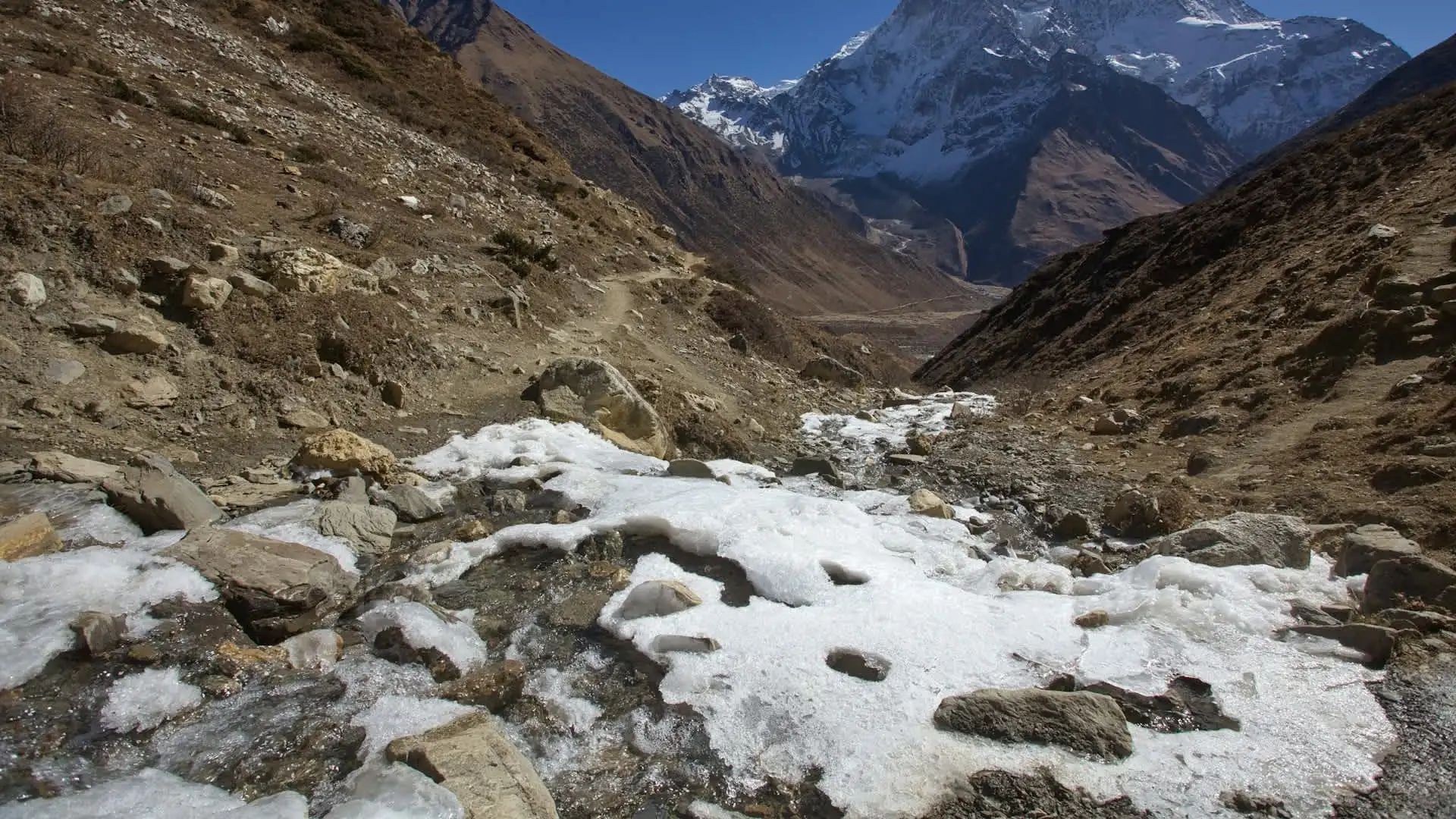
Alternative Route Variant: The Shorter 9-Day Compressed Itinerary
For trekkers using a more compressed itinerary, the same general distance is covered across fewer overnight stops, meaning individual daily distances run somewhat higher.
Day | Route segment | Distance (km) | Distance (miles) |
|---|---|---|---|
1 | Kathmandu to Machha Khola (drive) | 160 km (drive) | 99 mi |
2 | Machha Khola to Jagat | 22 km | 13.7 mi |
3 | Jagat to Deng | 20 km | 12.4 mi |
4 | Deng to Namrung | 19 km | 11.8 mi |
5 | Namrung to Samagaon | 17 km | 10.6 mi |
6 | Samagaon to Samdo | 8 km | 5 mi |
7 | Samdo to Dharamsala | 12 km | 7.5 mi |
8 | Dharamsala to Bhimtang via Larkya La | 24 km | 15 mi |
9 | Bhimtang to Dharapani, drive onward | 16 km (walk) | 10 mi (walk) |
Total for this compressed itinerary: approximately 138 kilometers (86 miles) of walking distance — at the lower end of the broader range, reflecting the more direct route this faster-paced itinerary uses, without the additional stops at Lho or the mandatory Samagaon acclimatization day some longer itineraries build in as a separate overnight.
Longer Route Variant: The 16-Day Extended Itinerary
Trekkers choosing a longer, more gradually paced itinerary — often recommended for those without significant prior high-altitude experience — cover essentially the same core distance but with more overnight stops and, frequently, a Tsum Valley or Manaslu Base Camp addition that increases the overall total.
Segment | Approximate distance |
|---|---|
Soti Khola to Machha Khola (additional starting stage) | ~14 km |
Machha Khola to Samagaon (core route, spread across more days) | ~95–110 km |
Samagaon acclimatization day (optional hikes) | +6–10 km |
Samagaon to Bhimtang via Larkya La | ~35–45 km |
Bhimtang to Dharapani/Tilije | ~30–46 km |
Total for extended itineraries starting from Soti Khola: approximately 180 to 195 kilometers (112 to 121 miles), explaining the higher figures found on some sources — these longer totals generally reflect the additional Soti Khola starting stage and more generous side-trip inclusion rather than a fundamentally different route.
Daily Distance Patterns: What to Actually Expect
Rather than fixating purely on the total trek distance, understanding the range of daily distances is genuinely more useful for pacing expectations, since distance alone doesn't capture difficulty — elevation change and altitude matter just as much on this route.
Day type | Typical distance | Typical walking time |
|---|---|---|
Lower valley approach days (Machha Khola to Namrung) | 17–22 km (10.5–13.8 mi) | 6–8 hours |
Mid-altitude transition (Namrung to Samagaon) | 7–12 km (4.3–7.5 mi) | 3–6 hours |
Acclimatization day (Samagaon) | 0–10 km (optional hikes) | 0–7 hours |
High-altitude approach (Samagaon to Dharamsala) | 6–13 km (3.7–8 mi) | 3–5 hours |
Larkya La crossing day | 16–25 km (10–15.5 mi) | 8–10 hours |
Post-pass descent | 13–21 km (8–13 mi) | 5–9 hours |
Final approach to Dharapani | 10–12 km (6–7.5 mi) | 4–5 hours |
Notice that the lower valley days (Machha Khola to Namrung) actually cover some of the longest raw distances of the entire trek, despite being at comparatively low altitude — a pattern that surprises some trekkers who assume the highest-altitude days will also be the longest by distance.
In practice, the Larkya La crossing day combines a moderately long distance with the trek's most demanding elevation change and altitude effects, making it the longest by walking time even though several lower-valley days cover comparable or greater raw distance.
How Manaslu's Distance Compares to Other Major Nepal Treks
Putting Manaslu's distance in context against other popular treks helps calibrate expectations, since distance alone doesn't determine difficulty or duration in a simple linear way.
Trek | Approximate distance | Typical duration | Max elevation |
|---|---|---|---|
Poon Hill | 35–45 km (22–28 mi) | 4–5 days | 3,210 m |
Mardi Himal | 40–45 km (25–28 mi) | 4–7 days | 4,500 m |
Annapurna Base Camp | 90–115 km (56–71 mi) | 7–12 days | 4,130 m |
Manaslu Circuit | 150–177 km (93–110 miles) | 11–18 days | 5,106 m |
Annapurna Circuit | 160–230 km (100–145 miles) | 12–20 days | 5,416 m |
Everest Base Camp | 130–140 km (80–87 miles) round trip | 12–14 days | 5,364 m |
Manaslu's total distance sits in a similar range to the Everest Base Camp trek and somewhat below the full classic Annapurna Circuit, while reaching a comparably extreme maximum altitude to both. This positions Manaslu as a genuinely demanding trek by both distance and altitude standards, despite its shorter typical duration compared to the longest Annapurna Circuit itineraries.
Distance and Elevation Gain: Why Some Days Feel Harder Than Their Distance Suggests
Raw distance alone significantly understates how demanding certain stages of this trek actually are, because elevation change and altitude affect pace so significantly at different points along the route.
Stage | Distance | Elevation change | Why it feels harder or easier than distance alone suggests |
|---|---|---|---|
Machha Khola to Jagat | ~17–22 km | Modest gain, mostly gradual river-valley trail | Feels manageable despite long distance, given gentler grade |
Namrung to Lho | ~10–12 km | Genuine altitude gain begins | Shorter distance, but noticeably slower pace due to increasing elevation |
Samdo to Dharamsala | ~6–13 km | Significant elevation gain to 4,460 m | Short distance but slow, deliberate pace given the altitude |
Dharamsala to Bhimtang (Larkya La) | ~16–25 km | Crosses 5,106 m, then descends significantly | Longest walking time on the trek despite moderate-to-long distance, due to extreme altitude and terrain |
This pattern — where altitude-affected stages take considerably longer per kilometer than lower-altitude stages of similar or even greater distance — is a genuinely important planning consideration, and it's why walking time, not just distance, should guide realistic daily itinerary expectations on this specific trek.
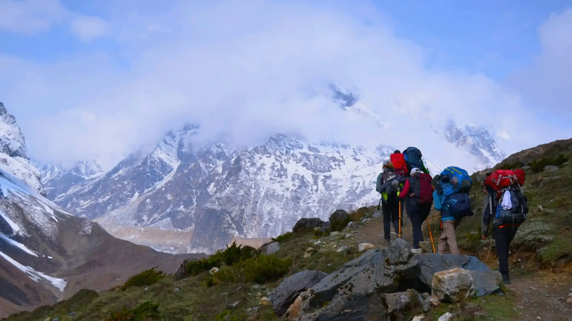
Distance From Kathmandu to the Trailhead and Back
Before the trekking distance even begins, there's a substantial road journey from Kathmandu to Machha Khola or Soti Khola, and a separate return journey from Dharapani back to Kathmandu — both worth accounting for separately from the walking-distance figures discussed throughout this guide.
Route | Distance | Typical travel time |
|---|---|---|
Kathmandu to Machha Khola | ~135–160 km | 7–10 hours by road |
Kathmandu to Soti Khola | Slightly further than Machha Khola | 8–10 hours by road |
Dharapani to Besisahar | ~43 km | Several hours by jeep |
Besisahar/Dharapani to Kathmandu | ~175–220 km | 7–9 hours by road |
These road distances are genuinely substantial — considerably longer drives than the equivalent Kathmandu-to-Pokhara or Kathmandu-to-Lukla connections used for the Annapurna Circuit and Everest Base Camp treks respectively — and are typically included as full trekking-itinerary days rather than treated as a quick transfer, given the road conditions and distance involved.
Practical Distance-Related Planning Tips
Don't be alarmed by widely varying distance figures across different agency websites. As detailed above, the range from roughly 144 km to 195 km almost always reflects genuine differences in starting point, measurement method, and side-trip inclusion rather than inconsistent or unreliable reporting.
Budget walking time, not just distance, for the Larkya La crossing day. This stage's distance (16–25 km) is significant, but the walking time (8–10 hours) reflects the altitude and terrain far more than the raw kilometer count alone would suggest.
Factor in the substantial Kathmandu-to-trailhead drive separately from your walking-distance expectations — this is one of the longer road approaches of any major Nepal trek.
Check whether a quoted distance figure includes the Manaslu Base Camp side trip or Tsum Valley extension. Figures at the higher end of the range (180 km-plus) often reflect one or both of these additions rather than the base circuit alone.
Use the daily distance table to gauge realistic pacing if you're deciding between a compressed 9-day itinerary and a longer 16-day version — the same total distance and elevation gain gets distributed very differently between these options.
FAQs about Manaslu Circuit Trek Distance
What is the total distance of the Manaslu Circuit Trek? Approximately 150 to 177 kilometers (93 to 110 miles) for the standard route from Machha Khola or Soti Khola to Dharapani, with figures across various sources ranging from about 144 km up to 195 km depending on measurement method and side trips included.
Why do different sources give such different distance figures for this trek? Because they measure different things — some cite official or permit-related minimum distances (often lower), others cite GPS-tracked recorded distances (typically higher), and some include optional side trips like Manaslu Base Camp or the Tsum Valley extension while others don't.
What's the longest single day of the trek by distance? The Larkya La Pass crossing day (Dharamsala to Bhimtang), typically covering 16 to 25 kilometers depending on the exact itinerary and route variant used.
What's the longest single day by walking time? Also the Larkya La crossing day, typically taking 8 to 10 hours — driven primarily by the extreme altitude and terrain rather than distance alone.
How many kilometers do you walk per day on average? Daily distances vary considerably by stage, ranging from as little as 6–10 kilometers on acclimatization or high-altitude approach days to 20-plus kilometers on the longer lower-valley and pass-crossing days.
Is Manaslu's distance comparable to the Annapurna Circuit? Yes, broadly — Manaslu's 150–177 km range sits close to, though generally somewhat below, the Annapurna Circuit's 160–230 km range, with both treks reaching comparably extreme maximum altitudes.
How does Manaslu's distance compare to Everest Base Camp? The two are quite similar in total distance, both falling in the 130–177 km range depending on exact measurement, though the two treks follow entirely different routes and cultural regions.
Does the compressed 9-day itinerary cover less total distance than the 13-or-16-day versions? Slightly less, since the compressed version typically skips the Lho stop and folds some stages together, but the difference isn't dramatic — closer to 138 km compared to 150–177 km for standard-length itineraries.
How far is the drive from Kathmandu to the Manaslu Circuit trailhead? Roughly 135 to 160 kilometers to Machha Khola (or slightly further to Soti Khola), typically taking 7 to 10 hours depending on road conditions.
What's the shortest distance stage of the trek? Various acclimatization or high-altitude approach stages, such as Samdo to Dharamsala, can be as short as 6 kilometers, reflecting the deliberately gradual pacing needed at that altitude rather than a genuinely brief walking day.
Why does the Larkya La crossing day feel so much longer than its distance suggests? Because the combination of extreme altitude (crossing 5,106 m), challenging terrain, and the psychological and physical demands of the highest point on the trek all slow pace considerably compared to lower-altitude stages of similar distance.
Does the route via Soti Khola versus Machha Khola change the total distance significantly? Yes, modestly — starting from Soti Khola typically adds an additional 10 to 14 kilometers compared to starting directly at Machha Khola.
How much distance does the optional Manaslu Base Camp side trip add? Approximately 8 kilometers round trip from Samagaon, typically undertaken during the mandatory acclimatization day rather than as a separate overnight stage.
Does adding the Tsum Valley extension significantly increase the total distance? Yes, considerably — Tsum Valley represents a separate multi-day extension with its own significant additional distance, well beyond the base Manaslu Circuit figures discussed in this guide.
Should I plan my pacing around distance or elevation gain and altitude? Elevation gain and altitude, generally, particularly from Namrung onward — walking time on this trek is driven considerably more by altitude effects and terrain than by raw kilometers covered, especially on the approach to and crossing of Larkya La.
What's the difference between "official" and "GPS-recorded" distance figures for this trek? Official or permit-related figures (sometimes cited around 143.7 km) tend to reflect more conservative, straight-line-adjacent measurements, while GPS-tracked figures recorded by guides and trekkers on the actual trail (commonly 160–177 km) capture the real switchbacks, river crossings, and trail windings, generally running meaningfully higher.
Is the lower valley section (Machha Khola to Namrung) genuinely long by distance? Yes — this section actually covers some of the longest raw daily distances on the entire trek, despite its comparatively lower altitude and gentler overall difficulty relative to the high-altitude stages further along the route.
How does total distance affect how many days I should budget for this trek? A standard 150–177 km distance comfortably fits an 11-to-14-day itinerary at a reasonable pace, while trekkers wanting a more relaxed schedule, or planning to add Manaslu Base Camp or Tsum Valley, should budget 16-plus days to cover the additional distance without excessive daily strain.
Does trekking direction (clockwise vs. counterclockwise) affect the Manaslu Circuit's distance? No — unlike the Annapurna Circuit, where direction is a genuine safety and pacing consideration, the Manaslu Circuit is trekked in essentially one standard direction (Machha Khola to Dharapani), so distance figures don't vary by direction the way they might on treks with meaningful directional route options.
Where can I find the most reliable distance figure for my specific itinerary? Directly from your trekking agency's day-by-day itinerary, since the exact figure depends heavily on your specific starting point, whether side trips are included, and which route variant is used — the ranges in this guide provide a solid general planning reference, but your agency's confirmed itinerary will give the precise figure for your actual trip.
Conclusion on Manaslu Circuit Trek Distance
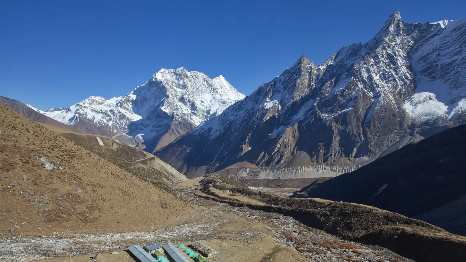
The honest answer to "how far is the Manaslu Circuit Trek" is a genuine range rather than a single fixed number: roughly 150 to 177 kilometers (93 to 110 miles) for the standard route from Machha Khola to Dharapani, with figures across different sources spanning as low as 144 km and as high as 195 km depending on starting point, measurement method, and whether side trips like Manaslu Base Camp or Tsum Valley are included.
What matters more than the raw total, though, is understanding how that distance is distributed — a route where the lower valley days cover surprisingly long raw distances at a comfortable pace, while the shorter, high-altitude stages near Larkya La take considerably longer per kilometer due to extreme elevation and terrain. Whether you're comparing itinerary options, deciding between a compressed or extended trek length, or simply trying to understand what each day on the trail will actually involve, thinking in terms of both distance and elevation together gives the most accurate picture of what this remote, rewarding circuit actually demands.
Adventure Life Nepal plans every Manaslu Circuit itinerary with both figures in mind, pacing each day around the real physical demand of the terrain and altitude rather than the kilometer count alone.