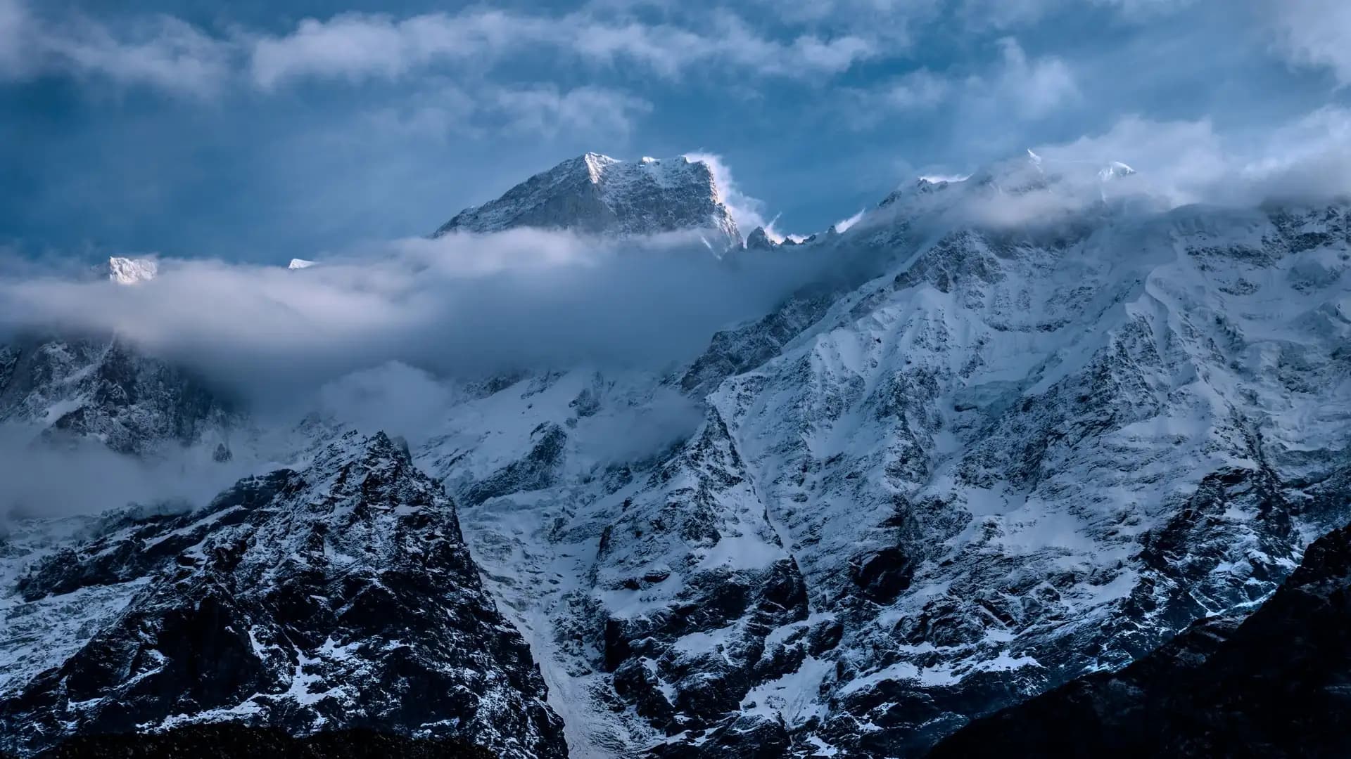
Manaslu Circuit Trek Starting Point | Complete 2026 Guide
Introduction to Manaslu Circuit Trek Starting Point
The Manaslu Circuit Trek officially begins at Machha Khola (869–970 m, depending on source), a small Gurung village on the banks of the Budhi Gandaki River in Nepal's Gorkha district, reached by an 8-to-10-hour road journey from Kathmandu via Arughat and Soti Khola. Many current itineraries now start a few kilometers earlier at Soti Khola itself, effectively saving a day of walking on the least scenic lower section of trail.
This guide covers everything about the trek's starting point: exactly where it is, how to get there, why Soti Khola and Machha Khola are sometimes used interchangeably, what the journey itself involves, and what to expect on your first day on the trail.
Manaslu Circuit Starting Point at a Glance
Fact | Detail |
|---|---|
Official trailhead village | Machha Khola |
Elevation of Machha Khola | 869–970 m (sources vary slightly) |
Alternative/earlier starting point | Soti Khola (a few km before Machha Khola) |
District | Gorkha District, Gandaki Province |
Distance from Kathmandu | 135–165 km (commonly cited: ~157–160 km) |
Typical travel time | 7–10 hours by road |
Route taken | Kathmandu → Prithvi Highway → Dhading Besi → Arughat → Soti Khola → Machha Khola |
Road condition | Paved to Arughat area; gravel, dusty, and rough beyond |
Transport options | Local bus or private jeep |
First permit checkpoint | Jagat (one day's walk beyond Machha Khola) |
Where Exactly Is the Manaslu Circuit's Starting Point?
Machha Khola sits on the banks of the Budhi Gandaki River in Gorkha district, in Nepal's Gandaki Province, at an elevation commonly cited between 869 and 970 meters depending on the exact source and measurement point used. The village takes its name from a nearby fish stream ("machha" meaning fish in Nepali), and it's predominantly home to the Gurung ethnic community, known throughout Nepal's trekking regions for their strong hospitality traditions and historic connections to Gurkha military service.
Machha Khola represents the practical end of comfortable road access into the Budhi Gandaki valley — beyond this point, the trail proper begins, following the river upstream through increasingly remote and dramatic terrain toward the Manaslu Conservation Area's core zone.
Soti Khola, a smaller settlement located a short distance before Machha Khola along the same road, has increasingly become the preferred starting point for many current itineraries.
The reasoning is straightforward: starting at Soti Khola rather than continuing the drive all the way to Machha Khola saves a day of walking on a stretch of lower trail that's generally considered less scenic than what follows, while adding only a modest amount of extra driving time.
Starting point | Elevation | Distance from Kathmandu | Reasoning for use |
|---|---|---|---|
Machha Khola | 869–970 m | ~157–165 km | The traditional, most commonly cited official starting point |
Soti Khola | Slightly lower than Machha Khola | Marginally further than Machha Khola by road | Saves a day of less scenic lower-trail walking |
Arughat | Further south, lower elevation | Closer to Kathmandu than Machha Khola | Rarely used as the actual starting point today; mainly a waypoint on the drive |
The Journey to the Trailhead: Kathmandu to Machha Khola
Unlike the Everest Base Camp trek, which begins with a short flight to Lukla, or the Annapurna Circuit and Annapurna Base Camp treks, which typically route through Pokhara, the Manaslu Circuit's starting point is reached entirely by road directly from Kathmandu — there's no flight option, and no shortcut.
The route
The standard drive follows this sequence:
Kathmandu to Dhading Besi (via Prithvi Highway and a connecting road) — a paved, relatively smooth stretch.
Dhading Besi to Arughat — road conditions become increasingly mixed, with paved and gravel sections.
Arughat to Soti Khola — predominantly gravel, dusty, and bumpy, particularly rough during monsoon season.
Soti Khola to Machha Khola — continuing along similarly rough terrain, following the Budhi Gandaki River's steep banks.
Road segment | Condition |
|---|---|
Kathmandu to Salyantar (or similar mid-point) | Paved |
Salyantar to Arughat | Mixed — paved and gravel |
Arughat to Machha Khola | Gravel, dusty, bumpy, and muddy during monsoon |
Distance and timing
Route | Distance | Typical time |
|---|---|---|
Kathmandu to Machha Khola | ~157–165 km | 7–10 hours |
Kathmandu to Soti Khola | Marginally less than Machha Khola | 7–9 hours |
The wide range in both distance and time reflects genuine variability in road conditions (particularly worse during monsoon season), traffic leaving the Kathmandu Valley, and the exact route taken by different operators and drivers.
Transport options
Option | Comfort level | Relative cost | Notes |
|---|---|---|---|
Private jeep | More comfortable | Higher | The preferred option for most guided packages, given the rough final stretch |
Local bus | Less comfortable | Lower | Slower, more crowded, but significantly cheaper |
Given the genuinely rough road conditions on the final stretch into Machha Khola, most guided packages from registered agencies use private jeep transport for this leg, prioritizing trekker comfort and reduced travel time over the cost savings of a local bus.
Why the Drive to the Trailhead Matters More on This Trek
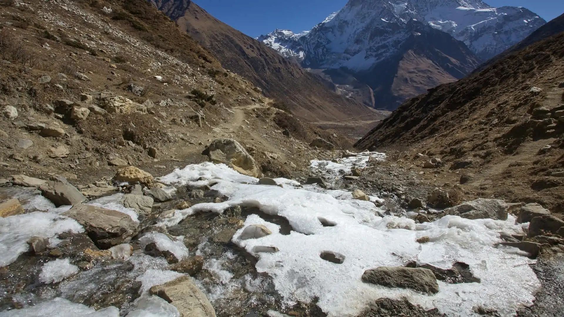
Unlike treks that begin with a flight (Everest Base Camp) or a relatively short, well-paved drive (Annapurna Base Camp and Circuit via Pokhara), the Manaslu Circuit's approach genuinely functions as the first meaningful stage of the journey rather than a simple transfer.
The drive itself passes through the Trishuli River valley, terraced hillside farmland, and increasingly rural Nepalese landscapes before the road conditions deteriorate on the final approach — meaning trekkers experience a genuine transition from urban Kathmandu to remote mountain terrain well before they ever put on their boots.
Practical implications of this longer approach:
Most itineraries budget a full day for this journey alone, rather than treating it as a quick transfer before the "real" trekking begins.
Trekkers should expect genuine physical fatigue from a long day of travel on rough roads, and shouldn't plan strenuous activity immediately upon arrival at Machha Khola or Soti Khola.
Road conditions can occasionally cause delays, particularly during monsoon season when landslide risk on the final unpaved stretch increases meaningfully.
Alternative Route to Avoid Road Construction Near the Trailhead
Given ongoing road development in the lower Budhi Gandaki valley — part of the same broader pattern of road expansion affecting other Nepal treks like the Annapurna Circuit — some current itineraries offer an alternative trail route specifically designed to avoid walking alongside active road construction near the trek's start.
The alternate route: Departing from Soti Khola, this variant detours through the villages of Manbu, Yarsa, Kasigaun, Keraunja, Runchet, and Hulchuk before rejoining the main standard trail at Dobhan, continuing on to Jagat from there.
Aspect | Standard route | Alternate route (via Soti Khola detour) |
|---|---|---|
Starting point | Soti Khola or Machha Khola | Soti Khola |
Villages passed | Machha Khola, standard riverside villages | Manbu, Yarsa, Kasigaun, Keraunja, Runchet, Hulchuk |
Accommodation available | Teahouses/lodges | Homestays only — no teahouses or lodges on this specific detour |
Reason to choose this route | Faster, more established infrastructure | Avoids road construction areas, offers a quieter, more traditional village experience |
This alternate route is worth discussing with your trekking agency if avoiding road-adjacent walking or experiencing a more traditional homestay-based village stretch appeals to you — though it's worth noting that homestay-only accommodation on this stretch means slightly different logistics than the standard teahouse-based itinerary used for the rest of the trek.
What Happens on the First Trekking Day
Once trekkers arrive at Machha Khola or Soti Khola, the actual walking portion of the Manaslu Circuit begins, typically heading toward Jagat — the first major permit checkpoint and, for many itineraries, the first overnight trekking stop.
Character of the trail from the starting point:
The trail begins along the steep banks of the Budhi Gandaki River, often described as muddy and slippery in sections, particularly during and shortly after monsoon season.
Dense forest and small Gurung hamlets, including villages like Khorlabeshi, appear along this early stretch.
The trail passes through Tatopani (a different, smaller settlement from the more famous Tatopani on the Annapurna Circuit), situated above the river.
A wire suspension bridge crossing of the Budhi Gandaki is a notable early feature of the route.
Feature | Description |
|---|---|
Terrain | Riverside trail, often muddy/slippery, forested sections |
Notable villages passed | Khorlabeshi, Tatopani (local, smaller settlement) |
Suspension bridge crossings | Present from early in the trek, a recurring feature throughout |
Distance to Jagat | Approximately 17–22 km, depending on exact starting point and route variant |
Jagat: The First Major Checkpoint
Roughly one day's walk from Machha Khola, Jagat serves as the trek's first permit checkpoint and functions as the practical entry point into the Manaslu Conservation Area's more tightly regulated zone. This stone-paved gorge village is where trekking permits (RAP, MCAP) are formally checked, and it also marks the point where the small Chum-Nubri Rural Municipality local development fee is typically collected.
Aspect | Detail |
|---|---|
Distance from Machha Khola | ~17–22 km |
Elevation | 1,340–1,410 m (sources vary slightly) |
Significance | First permit checkpoint; entry to more tightly regulated restricted zone |
Notable feature | Stone-paved village setting; access to natural hot springs nearby |
Comparing Manaslu's Starting Point to Other Major Nepal Treks
Understanding how Manaslu's approach differs from Nepal's other major treks helps set realistic expectations for trip planning.
Trek | Starting point access | Typical travel time to trailhead |
|---|---|---|
Everest Base Camp | Flight to Lukla | ~30–40 minutes (flight), weather-dependent |
Drive from Pokhara to Nayapul/Samrung | 1–2 hours | |
Annapurna Circuit | Drive from Kathmandu/Pokhara to Besisahar | Several hours |
Manaslu Circuit | Drive from Kathmandu to Machha Khola/Soti Khola | 7–10 hours |
Manaslu's approach is notably longer and rougher than any of Nepal's other major standard treks, reflecting both the trek's greater overall remoteness and the more limited road infrastructure serving this particular region compared to the well-established Pokhara-based gateway used for the Annapurna treks.
What to Pack Specifically for the Journey to the Trailhead
Given the length and rough conditions of the drive itself, a few specific packing considerations apply to this leg of the trip beyond standard trekking gear.
Item | Why it matters for this specific journey |
|---|---|
Snacks and water for the drive | Limited reliable food stops on the rougher final stretch |
Motion sickness medication (if prone to it) | The winding, bumpy road conditions can trigger motion sickness for sensitive travelers |
Dust protection (bandana/buff) | The unpaved sections beyond Arughat are genuinely dusty, particularly outside monsoon season |
Comfortable, loose clothing for the long drive | 7–10 hours in a vehicle warrants comfortable travel clothing distinct from trekking gear |
Camera/phone for scenic stops | The drive itself passes through genuinely scenic Trishuli River valley and terraced hillside terrain |
Permits Needed Before Reaching the Starting Point
All required permits for the Manaslu Circuit must be arranged in Kathmandu before departing for Machha Khola or Soti Khola — there's no permit office at the starting point itself, and the Restricted Area Permit specifically can only be obtained through a registered trekking agency.
Permit | Where it's arranged | When |
|---|---|---|
Restricted Area Permit (RAP) | Through a registered agency in Kathmandu | Before departure for the trailhead |
Manaslu Conservation Area Permit (MCAP) | Through a registered agency in Kathmandu | Before departure |
Annapurna Conservation Area Permit (ACAP) | Through a registered agency in Kathmandu | Before departure |
Given this requirement, most trekkers spend at least one full day in Kathmandu before departing for the trailhead specifically to finalize permit paperwork, gear checks, and trek briefings — a practical necessity given that Machha Khola and Soti Khola have no facilities for arranging or checking permits on arrival (that happens at Jagat, the first checkpoint further along the trail).
Should You Start at Soti Khola or Machha Khola?
This is a genuinely common practical question for trekkers planning their itinerary, and the answer depends on priorities around time, scenery, and pacing.
Reasons to start at Soti Khola:
Saves approximately one day of walking on a stretch of lower trail generally considered less scenic than what follows.
Slightly reduces the overall physical demand of the trip's early stages.
Increasingly the default choice among current operators, reflecting a broader shift in how the trek is packaged.
Reasons to start at Machha Khola:
Follows the more traditional, historically established starting point for the trek.
Offers a slightly more gradual introduction to the trail before the pace and terrain intensify further up the valley.
Some trekkers prefer the additional acclimatization value of an extra lower-altitude walking day, even if the scenery is less dramatic than higher sections.
Consideration | Soti Khola start | Machha Khola start |
|---|---|---|
Trek length | Shorter by roughly a day | Slightly longer |
Scenery on the skipped stretch | Missed (generally less scenic per most accounts) | Included |
Acclimatization benefit | Slightly less gradual | Slightly more gradual |
Current operator preference | Increasingly common | Traditional standard |
Neither choice is objectively superior — this is a genuine preference decision best discussed directly with your trekking agency based on your available time and priorities.
FAQs about Manaslu Circuit Trek Starting Point
Where does the Manaslu Circuit Trek officially start? Machha Khola, a small Gurung village in Gorkha district at an elevation of approximately 869 to 970 meters, though many current itineraries start slightly earlier at Soti Khola.
How far is Machha Khola from Kathmandu? Approximately 157 to 165 kilometers by road, depending on the exact route and source.
How long does the drive to the starting point take? Typically 7 to 10 hours, depending on road conditions, traffic, and season.
Can I fly to the Manaslu Circuit's starting point instead of driving? No — unlike the Everest Base Camp trek's flight to Lukla, the Manaslu Circuit is reached entirely by road, with no flight option available.
What's the difference between Soti Khola and Machha Khola as starting points? Soti Khola sits a short distance before Machha Khola along the same road; starting there instead of continuing to Machha Khola saves roughly a day of walking on a section of trail generally considered less scenic.
Is the road to the trailhead paved the whole way? No — the road is paved for much of the initial stretch out of Kathmandu but becomes gravel, dusty, and rough beyond Arughat, particularly on the final approach to Soti Khola and Machha Khola.
What ethnic community lives in Machha Khola? Predominantly Gurung, one of Nepal's ethnic groups known for strong hospitality traditions and historic connections to Gurkha military service.
Do I need permits before reaching the starting point? Yes — all required permits (RAP, MCAP, ACAP) must be arranged through a registered agency in Kathmandu before departure, since there's no permit office at Machha Khola or Soti Khola itself.
Where is the first permit checkpoint on the trail? Jagat, roughly one day's walk from Machha Khola, where the Restricted Area Permit and Manaslu Conservation Area Permit are formally checked.
Is there an alternative route to avoid road construction near the starting point? Yes — a detour from Soti Khola through the villages of Manbu, Yarsa, Kasigaun, Keraunja, Runchet, and Hulchuk avoids some road-adjacent walking, rejoining the main trail at Dobhan before continuing to Jagat, though only homestay accommodation (no teahouses) is available along this specific detour.
What transport options are available for the journey to the trailhead? Private jeep (more comfortable, higher cost, generally preferred by guided packages) or local bus (less comfortable, significantly cheaper).
Is the drive to the starting point scenic, or just a long transfer? It's genuinely scenic — the route passes through the Trishuli River valley, terraced hillside farmland, and rural Nepalese village landscapes before the final rougher stretch into the Budhi Gandaki valley.
What should I pack specifically for the drive itself? Snacks and water, motion sickness medication if needed, dust protection like a bandana or buff, and comfortable travel clothing distinct from full trekking gear.
How much elevation do I gain on the drive from Kathmandu to Machha Khola? Very little net elevation gain overall — Kathmandu sits at roughly 1,400 meters while Machha Khola sits lower, at 869 to 970 meters, meaning the drive actually descends in net elevation before the trek's genuine climbing begins.
Does starting at Soti Khola change my total permit requirements? No — the same RAP, MCAP, and ACAP permits apply regardless of whether you start at Soti Khola or Machha Khola, since both points fall before the first checkpoint at Jagat.
Is Arughat the starting point of the trek? No — Arughat is a waypoint along the drive from Kathmandu, not the trek's actual starting point. The trek itself begins at Soti Khola or Machha Khola, further along the same road.
How rough is the road on the final stretch to the trailhead? Genuinely rough — gravel, dusty, and bumpy, and muddy during monsoon season, which is part of why private jeep transport is generally preferred over local buses for this final leg.
Should I budget an extra day in Kathmandu before departing for the trailhead? Yes, typically at least one full day, to finalize permits, gear checks, and trek briefings, since these can only be arranged in Kathmandu before departure.
Does the starting point affect the total cost of the trek? Marginally — starting at Soti Khola versus Machha Khola makes a negligible difference to overall package cost, since the core cost drivers (permits, guide, porter, teahouse nights) remain largely the same regardless of which specific point the walking begins.
What's the elevation profile like right after the starting point? The trail climbs gradually from Machha Khola or Soti Khola toward Jagat, gaining several hundred meters over the first day's walk, following the Budhi Gandaki River upstream through forested, riverside terrain.
Conclusion on Manaslu Circuit Trek Starting Point
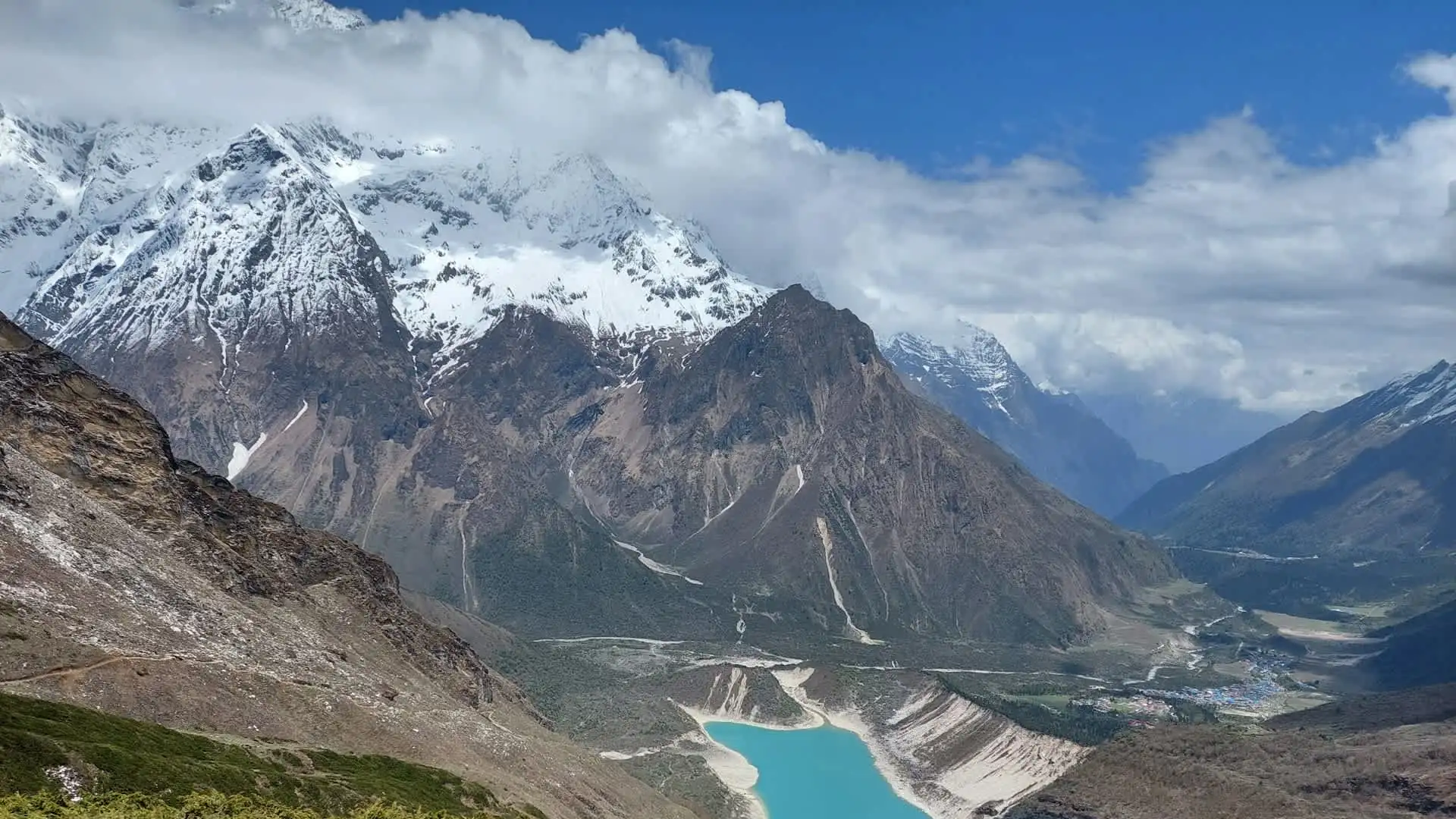
The Manaslu Circuit Trek's starting point isn't a single fixed spot so much as a short, flexible stretch of the Budhi Gandaki valley — Soti Khola and Machha Khola both function as practical trailheads, with the choice between them coming down to a straightforward trade-off between trip length and an extra day of lower-valley scenery. What genuinely matters more than which exact village you start from is understanding that reaching either point requires a substantial 7-to-10-hour road journey from Kathmandu, considerably longer and rougher than the approach to any of Nepal's other major treks, and one that functions as a meaningful first stage of the overall journey rather than a simple transfer.
Adventure Life Nepal handles this approach as a core, well-planned part of every Manaslu Circuit itinerary — arranging permits in Kathmandu in advance, choosing the most comfortable available transport for the rough final stretch, and helping trekkers decide between the Soti Khola and Machha Khola starting options based on their specific time and pacing priorities, so that by the time boots hit the trail, the only journey left to think about is the one deeper into the Budhi Gandaki valley and toward Larkya La.