Nepal Elevation Guide: Altitude Facts Every Traveler Needs to Know
Nepal Elevation
Nepal spans one of the most extreme elevation ranges of any country on Earth — from roughly 59 to 70 meters above sea level in the flat southern plains to 8,848.86 meters at the summit of Mount Everest, a vertical difference of nearly 8,800 meters within a country only about 800 kilometers long and 150 to 250 kilometers wide.
That range isn't just a geography trivia point — it's the single fact that shapes almost every practical decision a traveler makes in Nepal, from what to pack, to how an itinerary should be paced, to why altitude sickness is a genuine planning consideration on treks that don't even come close to Everest.
This guide breaks down Nepal's elevation zones, what altitude actually does to the body at each stage, and the specific numbers travelers need for the country's most visited destinations.
Nepal's elevation at a glance
Fact | Detail |
|---|---|
Highest point | Mount Everest, 8,848.86 m (29,031.7 ft) |
Lowest point | Kechana Kalan/Kawal, Jhapa district, ~60–70 m (a 2017 government survey identified Mukhiyapatti Musharniya, Dhanusha district, at 59 m as the new official lowest point) |
Total elevation range | Roughly 8,780–8,790 m — one of the largest of any country |
North-south width | 150–250 km |
East-west length | ~800 km |
Major elevation zones | Terai (60–305 m), Siwalik (700–1,500 m), Midlands (600–3,500 m), Himalaya (above 3,000 m) |
Tree line | ~4,000 m |
Snow line | ~5,500 m |
Why Nepal's Elevation Range Matters More Than Almost Any Other Geographic Fact
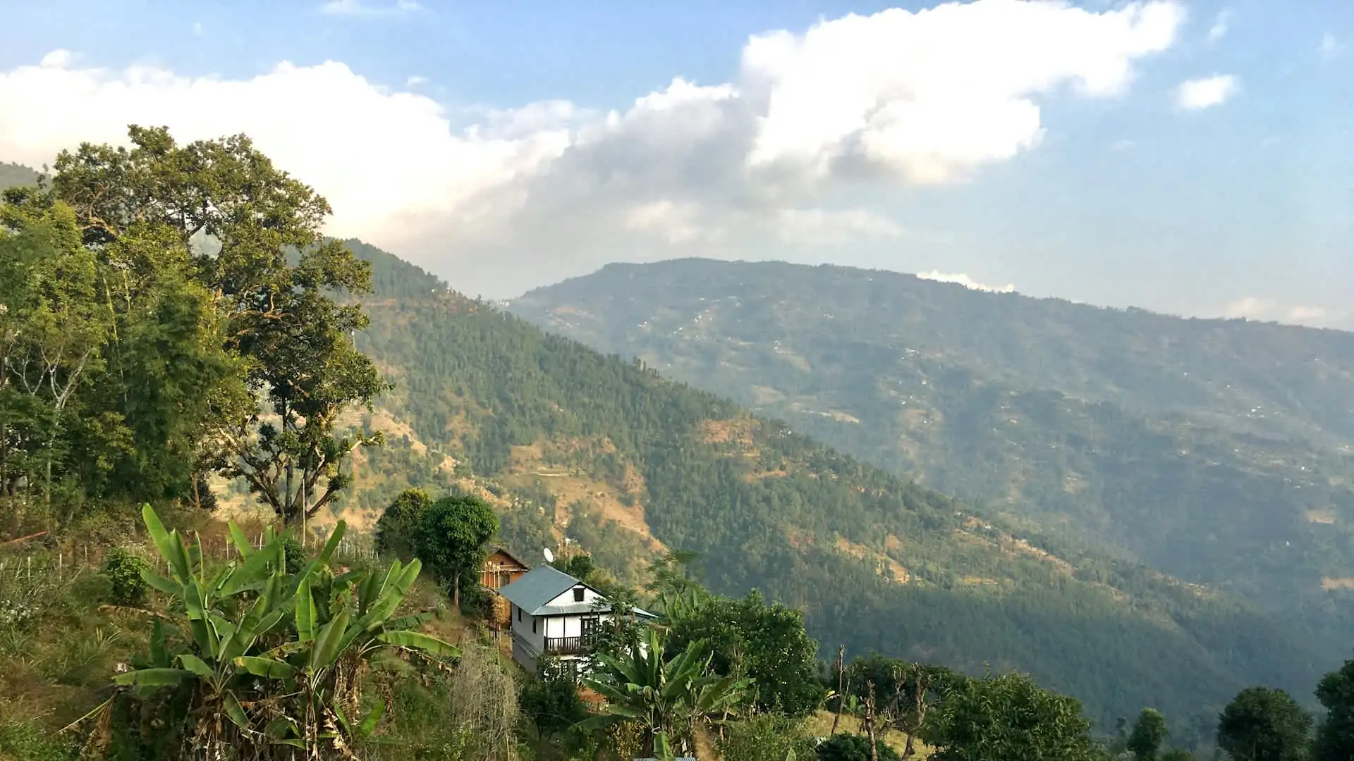
Most countries have some elevation variation, but few compress anything close to Nepal's range into such a narrow east-west band. Traveling from the southern Terai plains to Everest Base Camp covers a vertical distance greater than climbing Kilimanjaro from sea level nearly one and a half times over — and depending on the specific route, it can be done within a few hundred kilometers of horizontal travel.
This matters practically because it means a Nepal itinerary is rarely just about distance or duration; it's fundamentally about managing a rapid, continuous climate and altitude shift that most travelers have never experienced anywhere else.
A traveler landing in Kathmandu (1,400 m) after a Chitwan safari in the Terai lowlands (under 300 m) and then flying into Lukla (2,860 m) before trekking toward Everest Base Camp (5,364 m) experiences more cumulative elevation change in a single two-week trip than most travelers experience in a lifetime of travel elsewhere.
Understanding Nepal's elevation zones isn't academic — it's the foundation of realistic trip planning.
Nepal's Four Major Elevation Zones
Nepal's geography divides into four broad elevation bands running roughly parallel to each other from south to north, each with a distinct climate, ecosystem, and travel character.
Zone | Elevation range | Character |
|---|---|---|
Terai | 60–305 m | Flat, subtropical plains; agriculture, wildlife parks |
Siwalik (Churia) | 700–1,500 m | Low foothills, forested, transitional zone |
Midlands (Pahad) | 600–3,500 m | Kathmandu and Pokhara valleys, terraced hills, most of the population |
Himalaya | Above 3,000 m | High mountains, alpine pasture, trekking and mountaineering region |
The Terai, Nepal's southernmost band, runs along the border with India and occupies roughly 17% of the country's total land area, with elevations ranging from about 60 to 305 meters. This is Nepal's agricultural heartland — flat, fertile, alluvial plains formed by sediment deposits from rivers flowing down from the Himalayas, and home to Chitwan National Park and most of Nepal's tropical wildlife. Climate here is subtropical, with hot, humid summers that stand in sharp contrast to the cold high country most visitors associate with Nepal.
The Siwalik zone, also called the Churia range, forms a transitional band of low, forested foothills between 700 and 1,500 meters, marking the first real elevation gain moving north from the Terai.
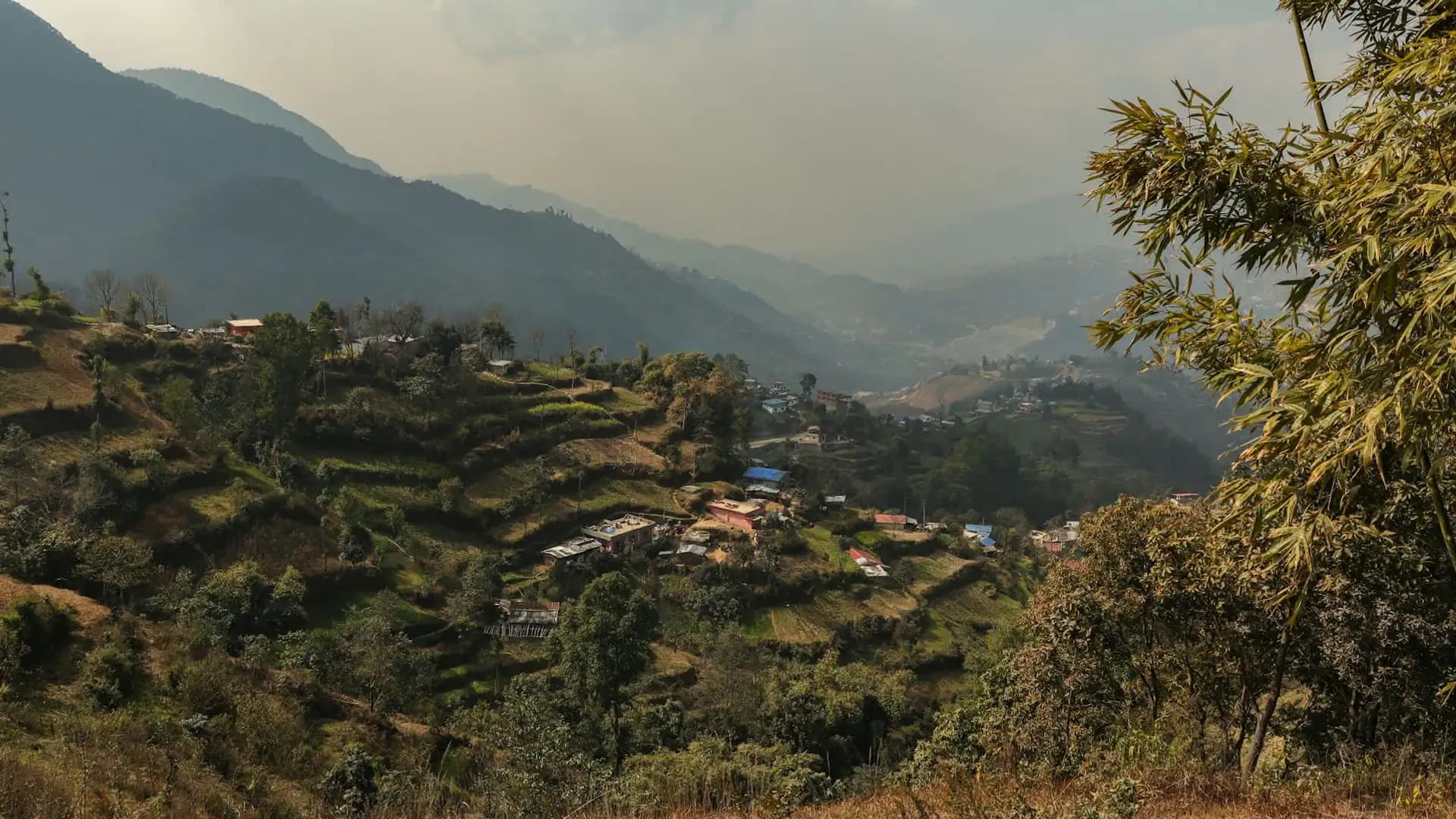
The Midlands, spanning roughly 600 to 3,500 meters, are where the majority of Nepal's population actually lives, and where two of the country's most visited valleys — Kathmandu and Pokhara — sit, surrounded by terraced rice fields and forested hillsides. This is also the zone most travelers experience first and most, since Kathmandu, Pokhara, and the lower stages of nearly every major trek in the country fall within this range.
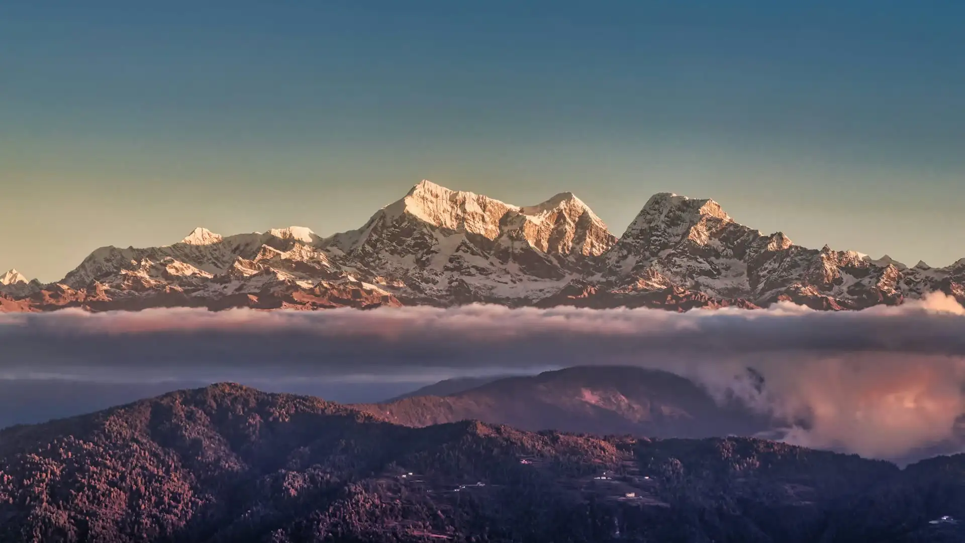
The Himalaya zone, defined as anything above roughly 3,000 meters, is where trekking, mountaineering, and Nepal's highest-altitude tourism happen. It includes the tree line at approximately 4,000 meters and the snow line at approximately 5,500 meters — two thresholds that meaningfully affect vegetation, wildlife, and what travelers can expect to see as they climb higher on any trekking route.
Nepal's Highest and Lowest Points
Mount Everest, at 8,848.86 meters (29,031.7 ft), is both Nepal's highest point and the highest point on Earth. This official figure was jointly confirmed by Nepal and China on December 8, 2020, following the first-ever joint elevation survey conducted by the two countries, replacing previously separate Nepali and Chinese measurements that differed slightly.
Located in Khumjung, Solukhumbu District, Everest's summit sits within Sagarmatha National Park, itself a UNESCO World Heritage Site since 1979.
Nepal's lowest point sits at the opposite geographic and climatic extreme. It has traditionally been cited as Kechana Kalan (sometimes spelled Kechana Kawal) in Jhapa district, in the far southeastern Terai, at an elevation of roughly 60 to 70 meters above sea level. However, a 2017 government survey identified a different location — Mukhiyapatti Musharniya in Dhanusha District — as sitting slightly lower, at approximately 59 meters, and some current sources now cite this as Nepal's official lowest point instead.
Both locations sit in the flat, agricultural Terai belt near the Indian border, and the small discrepancy between them reflects the genuine difficulty of precisely surveying flat, low-relief terrain rather than any real controversy about Nepal's overall elevation range.
Either way, the practical takeaway is the same: Nepal's elevation spans from a barely-above-sea-level agricultural plain to the highest point on the planet, a difference of approximately 8,780 to 8,790 meters — one of the most extreme elevation ranges contained within a single country anywhere in the world.
Elevation of Nepal's Major Cities and Towns
Understanding the elevation of Nepal's most-visited cities and towns helps travelers anticipate climate, packing needs, and, for higher-altitude stops, basic acclimatization considerations before ever setting foot on a trekking trail.
City / Town | Elevation | Notes |
|---|---|---|
Kechana Kalan / Mukhiyapatti Musharniya (Terai) | 59–70 m | Nepal's lowest point |
Bharatpur / Chitwan (Terai) | ~150 m | Gateway to Chitwan National Park |
Lumbini | ~150 m | Birthplace of the Buddha |
Pokhara | 822 m | Lakeside city, gateway to Annapurna |
Kathmandu | ~1,400 m | Capital city |
Bandipur | ~1,030 m | Preserved hill town |
2,175 m | Himalayan sunrise viewpoint | |
Namche Bazaar | 3,440 m | Sherpa trading hub, EBC route |
Manang | 3,519 m | Annapurna Circuit acclimatization stop |
Lo Manthang | 3,840 m | Capital of the former Kingdom of Lo, Upper Mustang |
Everest Base Camp | 5,364 m | Highest standard trekking destination on the EBC route |
Thorong La Pass | 5,416 m | Highest point of the Annapurna Circuit |
Kala Patthar | 5,644 m | Highest standard viewpoint near Everest Base Camp |
Everest summit | 8,848.86 m | Highest point in Nepal and on Earth |
A few of these comparisons are genuinely useful for trip planning. Kathmandu, at roughly 1,400 meters, sits high enough to have a noticeably cooler climate than the sweltering Terai lowlands, but low enough that it poses no altitude sickness risk for the vast majority of travelers.
Pokhara, at 822 meters, is lower still, and its subtropical-to-temperate climate reflects that. Namche Bazaar, the key acclimatization stop on the Everest Base Camp trek, sits at 3,440 meters — already higher than most travelers have ever slept at before beginning a trek at all.
What Altitude Actually Does to the Body
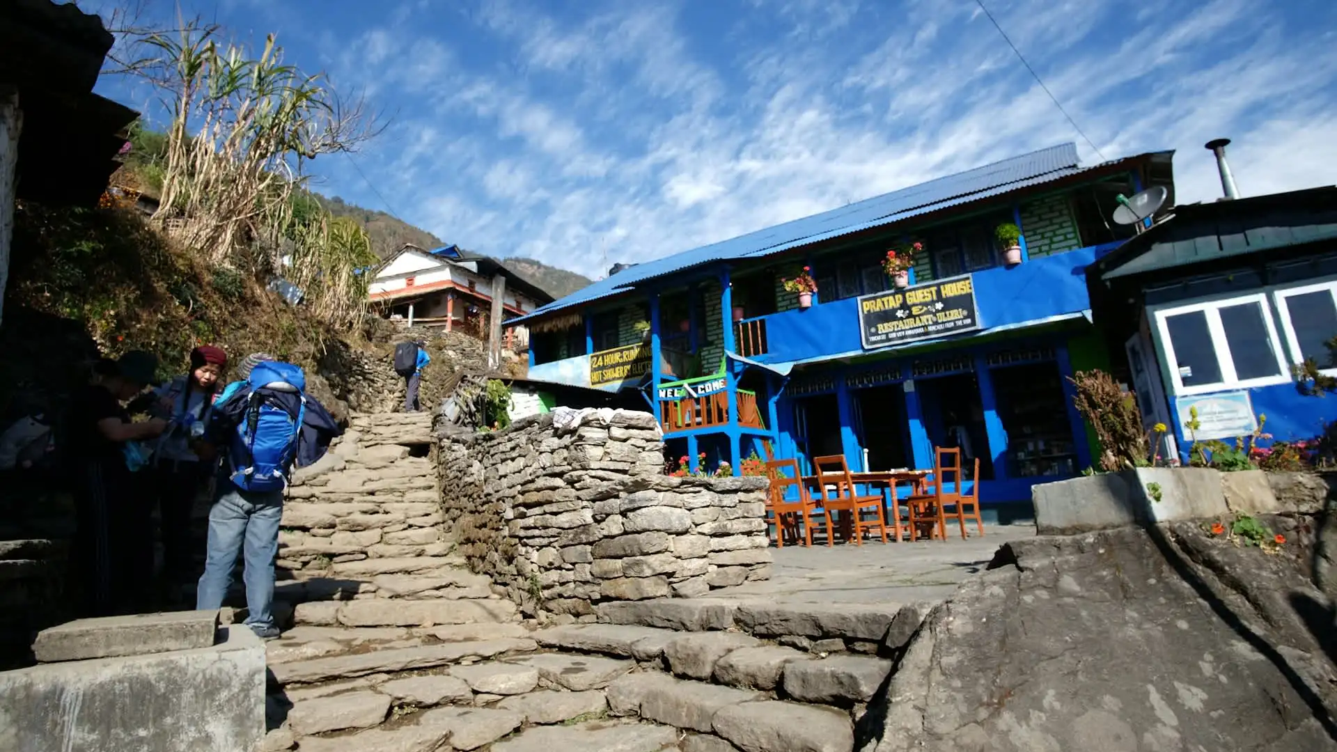
Elevation isn't just a number on a map — it directly affects how much oxygen reaches your lungs with every breath, and that effect becomes noticeable well before travelers reach anything resembling Everest Base Camp.
Elevation | Effect on the body |
|---|---|
Below 1,500 m | No meaningful altitude effect for most people |
1,500–2,500 m | Mild effects possible; most people adjust quickly |
2,500–3,500 m | Altitude sickness risk begins; some people notice symptoms |
3,500–5,500 m | Genuine altitude sickness risk zone; acclimatization essential |
Above 5,500 m | No permanent human habitation; extreme physiological stress |
Above 8,000 m | The "death zone" — body cannot acclimatize, deteriorates over time |
At sea level, the air contains roughly 21% oxygen, and atmospheric pressure pushes that oxygen into the bloodstream efficiently with each breath. As elevation increases, atmospheric pressure drops, and even though the percentage of oxygen in the air stays roughly the same, less of it is available to the body per breath.
By around 5,000 meters — roughly the altitude of Everest Base Camp — atmospheric pressure is low enough that each breath delivers only about half the oxygen it would at sea level.
This is why Acute Mountain Sickness (AMS) becomes a genuine risk above roughly 2,500 to 3,000 meters, regardless of a traveler's general fitness level. AMS risk is driven far more by ascent rate than by fitness — a marathon runner who climbs too fast is just as vulnerable, sometimes more so, than a less athletic traveler who paces themselves properly.
Early symptoms include headache, nausea, dizziness, and disrupted sleep; more severe forms — High Altitude Pulmonary Edema (HAPE) and High Altitude Cerebral Edema (HACE) — are life-threatening and require immediate descent.
Elevation Profiles of Nepal's Major Treks
Every major trekking route in Nepal is, in practice, an elevation-management exercise as much as a walking route. Here's how the country's most popular treks compare in terms of maximum elevation and total elevation gain from their typical starting points.
Trek | Starting elevation | Highest point | Elevation gain |
|---|---|---|---|
Poon Hill Trek | ~1,070 m (Nayapul) | 3,210 m (Poon Hill) | ~2,140 m |
Annapurna Base Camp Trek | ~1,070 m (Nayapul) | 4,130 m (ABC) | ~3,060 m |
Langtang Valley Trek | ~1,460 m (Syabrubesi) | ~3,870 m (Kyanjin Ri optional) | ~2,410 m |
Everest Base Camp Trek | 2,860 m (Lukla) | 5,644 m (Kala Patthar) | ~2,784 m |
Annapurna Circuit Trek | ~760 m (Besisahar) | 5,416 m (Thorong La) | ~4,656 m |
Manaslu Circuit Trek | ~700 m (Soti Khola) | 5,106 m (Larkya La) | ~4,406 m |
Notice that the Annapurna Circuit and Manaslu Circuit involve the largest total elevation gains of this group, largely because both treks start at comparatively low elevations near major rivers before climbing to passes above 5,000 meters, while the Everest Base Camp trek — despite reaching a similarly extreme final altitude — starts considerably higher at Lukla, following a short flight that effectively skips several thousand meters of lower-elevation walking.
Elevation and Nepal's Climate Zones
Because Nepal's elevation change happens so quickly across relatively short horizontal distances, the country experiences an unusually compressed range of climate zones — travelers can move from tropical to arctic-equivalent conditions within a single trekking itinerary.
Elevation band | Climate zone | Typical vegetation |
|---|---|---|
Below 1,000 m | Tropical/subtropical | Jungle, rice paddies, sal forest |
1,000–2,000 m | Subtropical to temperate | Terraced farmland, pine and oak forest |
2,000–3,000 m | Temperate | Rhododendron and oak forest |
3,000–4,000 m | Sub-alpine | Coniferous forest, thinning tree cover |
4,000–5,000 m | Alpine | Alpine pasture, scrub, no trees above ~4,000 m |
Above 5,000 m | Nival/glacial | Bare rock, ice, permanent snow above ~5,500 m |
This is part of why treks like the Annapurna Circuit and the route to Upper Mustang feel so dramatically different from one section to the next — trekkers pass through genuinely distinct climate and vegetation zones within a matter of days, something that would typically require crossing multiple countries or continents to experience anywhere else.
How to Prepare for Nepal's Elevation Range
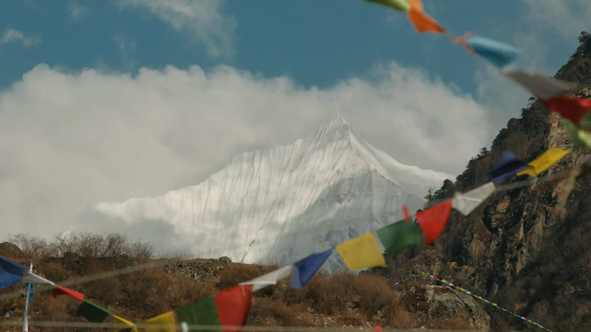
Acclimatize gradually on any trek above 3,000 meters. The standard, well-tested approach — used on the Everest Base Camp trek, the Annapurna Circuit, and virtually every major high-altitude route in Nepal — is to avoid excessive single-day elevation gain once above 3,000 meters and to build in dedicated rest days at key points (Namche Bazaar and Dingboche on the EBC route; Manang on the Annapurna Circuit) to let the body adjust before continuing higher.
Don't judge risk by fitness level alone. Altitude sickness affects fit and unfit travelers at similar rates when ascent is rushed. Pacing matters more than cardio conditioning.
Pack for the full range, not just your final altitude. A trip that starts in Chitwan's tropical heat and ends at Everest Base Camp's sub-freezing temperatures requires genuinely different clothing for each stage — layering is essential, and no single jacket or outfit covers the full range Nepal's elevation puts a traveler through.
Use Kathmandu and Pokhara as natural, low-effort acclimatization time. Even without a dedicated rest day, spending a few days sightseeing in Kathmandu (1,400 m) before flying to a high-altitude trailhead gives the body some initial adjustment before the more demanding elevation gain of a trek itself begins.
Take a licensed guide's altitude judgment seriously. Nepal now requires licensed guides for most trekking regions, including the Everest and Annapurna areas, and a guide experienced in recognizing early AMS symptoms — and willing to alter an itinerary or recommend descent — is one of the most valuable safety resources available on any high-altitude route.
Frequently Asked Questions about Nepal Elevation
What is the highest point in Nepal?
Mount Everest, at 8,848.86 meters (29,031.7 ft), officially confirmed by a joint Nepal-China survey in December 2020.What is the lowest point in Nepal?
Traditionally cited as Kechana Kalan in Jhapa district at roughly 60–70 meters, though a 2017 government survey identified Mukhiyapatti Musharniya in Dhanusha District, at approximately 59 meters, as the new official lowest point.What is Nepal's total elevation range?
Roughly 8,780 to 8,790 meters from lowest to highest point — one of the largest elevation ranges of any country in the world.How high is Kathmandu?
Approximately 1,400 meters above sea level — high enough for a noticeably cooler climate than the Terai lowlands, but not high enough to pose altitude sickness risk for most travelers.At what elevation does altitude sickness become a concern?
Risk begins to increase meaningfully above roughly 2,500 to 3,000 meters, and becomes a genuine planning consideration for any travel or trekking above 3,500 meters.Is Kathmandu's elevation a concern for travelers?
No. At 1,400 meters, Kathmandu poses no meaningful altitude risk for the vast majority of visitors, regardless of health background.Which trek in Nepal has the highest elevation gain?
The Annapurna Circuit and Manaslu Circuit involve the largest total elevation gains among Nepal's major treks, both starting from comparatively low river-valley trailheads before climbing to passes above 5,000 meters.Why does Nepal have such a wide climate range?
Because its elevation changes so dramatically over a relatively narrow east-west band — from tropical Terai plains to Himalayan peaks — Nepal compresses an unusually wide range of climate zones into a small geographic footprint.Do I need to worry about altitude in Pokhara or Chitwan?
No. Pokhara (822 m) and Chitwan (roughly 150 m) both sit well below any altitude threshold associated with AMS risk.How does elevation affect what I should pack for a Nepal trip?
Significantly. A trip spanning Chitwan's tropical lowlands, Kathmandu's temperate valley climate, and a high-altitude trek requires genuine layering — lightweight, breathable clothing for the lowlands and proper cold-weather gear for anything above 3,000 meters.
Conclusion on Nepal Elevation
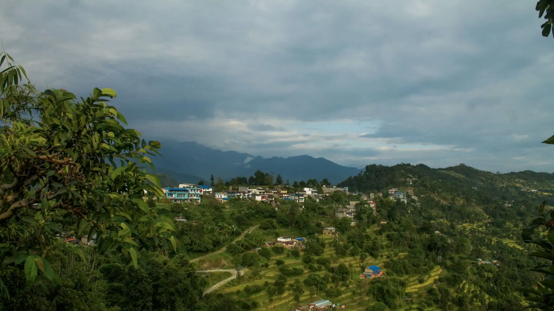
Nepal's elevation range — from a low-lying Terai plain barely above sea level to the summit of the world's highest mountain — isn't just a geographic curiosity, it's the defining feature that shapes climate, ecosystems, culture, and nearly every practical travel decision across the country.
Understanding where a destination sits within that range, from Kathmandu's comfortable mid-elevation valley to Kala Patthar's oxygen-thin 5,644 meters, is the single most useful piece of planning knowledge a traveler can bring to a Nepal itinerary.
Whether you're tracking rhinos in the low-lying Terai, exploring Kathmandu's temperate valley heritage sites, or working your way up toward Everest Base Camp or Thorong La, Nepal's elevation is never just a number on a map — it's the reason the itinerary is built the way it is, and understanding it in advance is what separates a smooth, well-paced trip from one that runs into trouble it didn't need to.