Manaslu Circuit Trekking Route Difficulty 2026: Trail Conditions Guide
Introduction to Manaslu Circuit Trekking Route
The Manaslu Circuit trekking route isn't one uniform trail — it's a genuinely varied journey that shifts character every few days, from a subtropical river gorge with swaying suspension bridges, through pine and rhododendron forest, into a high, dry Tibetan Buddhist valley, and finally over a genuinely serious alpine pass before dropping back down through Annapurna-region forest on the far side. Understanding what the route actually looks like underfoot — not just its total distance or overall difficulty score — is what lets you plan realistically for what each stage of the trek demands.
This guide walks the Manaslu Circuit trekking route section by section, covering the villages you'll pass, what the trail surface is actually like at each stage, where the crossings and technical sections sit, and how trail conditions shift with season and altitude.
Quick Answer: The Manaslu Circuit Trekking Route at a Glance
Detail | Information |
|---|---|
Starting point | Machha Khola or Soti Khola, Gorkha district |
Ending point | Dharapani or Besisahar, Manang/Lamjung district |
Total distance | Approximately 177 km (110 miles) |
Highest point | Larkya La Pass, 5,106 m |
Lowest point | Around 700–900 m near the trailhead |
Regions crossed | Manaslu Conservation Area, then Annapurna Conservation Area near the route's end |
Terrain types | River gorge, forest, alpine valley, glacial moraine, high mountain pass, descending forest |
Trekking days | 12–18 days, depending on itinerary |
Route type | Point-to-point (not a loop back to the start) |
Understanding the Manaslu Circuit Trekking Route as a Journey, Not Just a Trail
Unlike an out-and-back trek where you retrace your steps, the Manaslu Circuit trekking route is a genuine point-to-point journey — you start in Gorkha district, follow the Budhi Gandaki River upstream, cross Larkya La into the Annapurna Conservation Area, and exit through a completely different valley system near Dharapani. This structure is part of what makes the route so visually varied: you're not walking the same terrain in reverse, you're crossing an entire section of the Himalayas from one side to the other.
The Route, Village by Village
Machha Khola to Jagat (869 m – 1,340 m)
The Manaslu Circuit trekking route begins at Machha Khola (or Soti Khola, depending on current road access), following the Budhi Gandaki River through a warm, subtropical gorge. The trail here alternates between riverside paths and sections cut directly into the gorge wall, crossing several suspension bridges along the way. Khorlabesi and Tatopani (a natural hot spring stop) are common overnight or rest points on this stretch. Trail conditions are generally well-maintained but include stone steps and occasional narrow, exposed sections above the river.
Jagat to Deng (1,340 m – 1,860 m)
This section marks the formal entry into the Manaslu Conservation Area, with a permit checkpoint at Jagat. The trail continues to follow the gorge, passing through Salleri, Sirdibas, and Philim — villages with a noticeably Gurung and Tamang cultural character. The route here narrows in places, with the gorge walls closing in and several more suspension bridge crossings over tributary streams.
Deng to Namrung (1,860 m – 2,630 m)
The trekking route begins climbing more steadily here, passing through Bihi Phedi and Ghap, the last predominantly Hindu-influenced village before the trail's character shifts toward the Tibetan Buddhist culture that defines the upper valley. Mani walls (stone walls carved with Buddhist prayers) and chortens (Buddhist shrines) start appearing regularly along the trail from this point onward — always walked past on the left side, per local custom.
Namrung to Samagaon (2,630 m – 3,520 m)
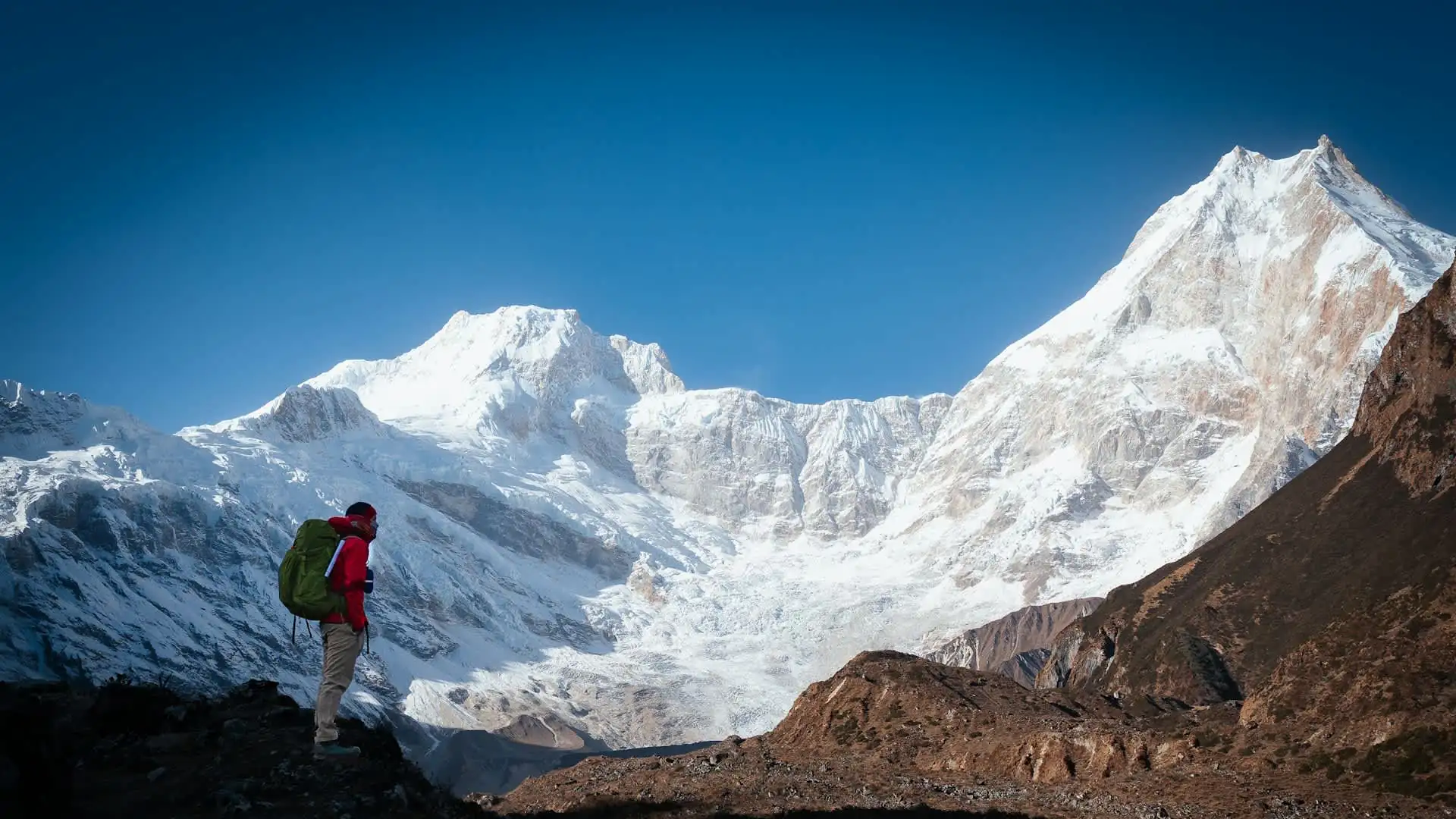
This stretch passes through Lho and Shyala, two of the most scenic villages on the entire route, with close-up views of Manaslu, Himalchuli, and Ngadi Chuli opening up as the valley widens. The trail transitions from forest to more open alpine terrain, and this is generally where trekkers first feel the effects of altitude on pace. Samagaon itself is the largest settlement in the upper valley and the standard rest/acclimatization stop on the route.
Samagaon to Samdo (3,520 m – 3,875 m)
A shorter, gentler stage that continues through increasingly open, high-altitude terrain, with glacial moraine becoming visible as the trail approaches Samdo, the last significant village before Larkya La. This section also offers the option of a side trip toward Manaslu Base Camp for trekkers with an extra acclimatization day built into their itinerary.
Samdo to Dharamsala (3,875 m – 4,460 m)
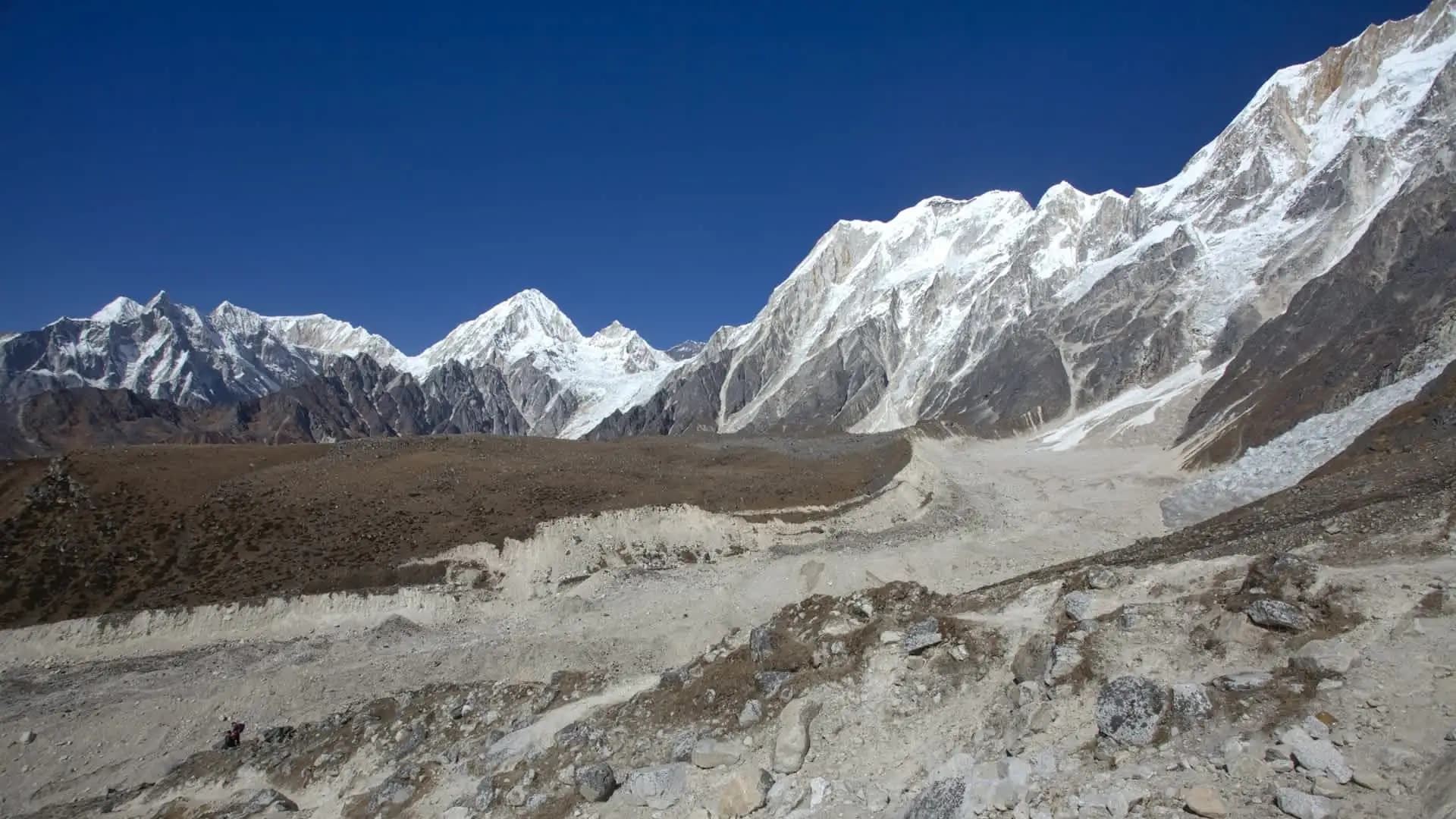
The trail becomes noticeably more barren and rocky here, crossing a wooden bridge over the Budhi Gandaki near its source before climbing to Dharamsala (also called Larkya Phedi), the final overnight stop before the pass. Vegetation has largely disappeared by this point, replaced by rock, scree, and — depending on season — patches of snow.
Dharamsala to Larkya La to Bimthang (4,460 m → 5,106 m → 3,590 m)
This is the defining stage of the entire Manaslu Circuit trekking route. The climb to Larkya La crosses moraine and loose scree, often still in darkness for the first few hours, before opening onto the pass itself — a wide, wind-exposed saddle offering a 360-degree panorama of surrounding peaks. The descent to Bimthang is long, steep, and loose underfoot, dropping over 1,500 meters in a single push before reaching the first teahouse on the Annapurna Conservation Area side of the route.
Bimthang to Dharapani/Besisahar (3,590 m – 1,960 m and below)
The final stage retraces familiar Annapurna-region terrain — forested trail, well-established teahouses, and a noticeably different, more developed feel compared to Manaslu's remote upper valley. Tal, a village built on a wide, flat river terrace, is a common stop before reaching Dharapani, where road access resumes.
Trail Conditions by Section: What the Surface Actually Feels Like
Beyond the village-by-village narrative above, it helps to know what you're actually walking on at each stage of the Manaslu Circuit trekking route.
Section | Trail Surface | Notable Features |
|---|---|---|
Machha Khola–Jagat | Riverside path, stone steps, occasional exposed gorge-wall sections | Multiple suspension bridges over the Budhi Gandaki |
Jagat–Namrung | Mixed forest trail, some rocky sections | Gradual, steady climbing; mani walls begin appearing |
Namrung–Samagaon | Forest thinning into open alpine terrain | Increasing exposure to wind and thinner air |
Samagaon–Dharamsala | Open valley, glacial moraine, rocky ground | Vegetation largely absent; colder, more exposed |
Dharamsala–Larkya La | Moraine, scree, seasonal snow/ice | The route's most technically demanding walking surface |
Larkya La–Bimthang | Steep, loose-rock descent | Long, knee-intensive stretch |
Bimthang–Dharapani | Established forest trail | Reverts to more standard, well-maintained teahouse-trek terrain |
River Crossings and Suspension Bridges Along the Route
The lower half of the Manaslu Circuit trekking route follows the Budhi Gandaki closely, and suspension bridge crossings are a regular feature between Machha Khola and Namrung. These bridges are standard, well-used trekking infrastructure — not technically difficult to cross — but several sit high above fast-moving water and sway noticeably underfoot, which some trekkers find more mentally challenging than physically demanding. Bridge conditions can shift somewhat between seasons, particularly after monsoon flooding, so current, guide-level knowledge of any temporary rerouting matters more here than on more heavily maintained trekking corridors.
Cultural Waypoints Along the Trekking Route
One of the most distinctive features of the Manaslu Circuit trekking route is how clearly it traces a cultural transition alongside its physical one. The lower gorge sections pass through predominantly Gurung and Tamang villages with Hindu influence, while from around Namrung onward, the route enters a strongly Tibetan Buddhist cultural zone — a legacy of the upper valley's historical trade and migration links across the nearby Tibetan border. Monasteries, prayer flags, mani walls, and chortens become a regular feature of the trail from Namrung through Samagaon, Samdo, and beyond, giving this route a genuinely distinct cultural texture compared to many of Nepal's other major trekking corridors.
The Larkya La Pass: The Route's Defining High Point
No description of the Manaslu Circuit trekking route would be complete without focusing specifically on Larkya La, since it functions as both the physical and psychological centerpiece of the entire trip. At 5,106 meters, the pass sits above the tree line entirely, surrounded by moraine and rock, with a wide, open saddle that offers views in every direction once you arrive — Himlung Himal, Cheo Himal, Kang Guru, and, on a clear day, Annapurna II in the distance. For the complete breakdown of what makes this specific stage of the route so demanding, our dedicated difficulty guide covering altitude, terrain, and daily hours goes into the pass crossing in considerably more technical depth.
How Road Access Has Changed the Route in Recent Years
Worth noting for anyone planning based on older trip reports: road construction has gradually extended jeep access further up the Budhi Gandaki valley than it did in the past, which has shifted where a standard itinerary practically begins for some trekkers. This is a genuinely evolving situation — road conditions and the exact point where a jeep can reasonably reach change from season to season, particularly after monsoon damage — so it's worth confirming current access with your agency close to your travel dates rather than assuming an older description of the route's starting point still applies exactly. Our Manaslu Circuit Trek starting point guide covers this in more detail and is kept updated as access conditions shift.
Alternate Route Variations
The Tsum Valley extension. A significant side route branches off the main Manaslu Circuit trekking route near Lokpa, leading into the neighboring, culturally distinct Tsum Valley before rejoining the standard trail. This is a popular add-on for trekkers with extra time, rather than a substitute for the main circuit.
Manaslu Base Camp side trip. From Samagaon, an optional detour climbs to Manaslu Base Camp itself at around 4,800 meters — a worthwhile addition for trekkers with a spare acclimatization day, offering considerably closer views of the mountain's south face.
Exit via Besisahar vs. Dharapani. Most itineraries conclude at Dharapani, joining the Annapurna Circuit's own trail network, with onward road transport to Besisahar and then Kathmandu or Pokhara. Some operators structure the final stage slightly differently depending on current road conditions on this side of the route as well.
Difficulty Summary by Route Section
Rather than repeat a full difficulty breakdown here, it's worth a condensed summary of how difficulty tracks with the route's physical stages, since this connects directly to the trail conditions described above.
Route Section | Relative Difficulty | Primary Difficulty Driver |
|---|---|---|
Machha Khola–Jagat | Moderate | Bridge crossings, stone steps, heat/humidity |
Jagat–Namrung | Moderate | Steady, sustained climbing |
Namrung–Samagaon | Moderate to Strenuous | Altitude effects beginning to set in |
Samagaon–Dharamsala | Strenuous | Thinner air, exposed terrain |
Dharamsala–Larkya La–Bimthang | Most Strenuous | Peak altitude, technical scree/moraine, longest single day |
Bimthang–Dharapani | Moderate | Long descent, otherwise well-established trail |
For the full numerical difficulty rating and how this route compares to Everest Base Camp and the Annapurna Circuit specifically, our two dedicated difficulty guides — How Difficult Is the Manaslu Circuit Trek and its companion piece on altitude, terrain, and daily hours — cover this in complete depth.
Trail Markers, Navigation, and Why a Guide Matters on This Route
The Manaslu Circuit trekking route is generally well-marked with painted trail signs, prayer flags, and the mani walls that also serve as informal waypoints, but this is a restricted region — designated as such by Nepal's Department of Immigration — where independent trekking isn't legally permitted regardless of how well-marked the trail is.
Beyond the legal requirement, a licensed guide's value on this specific route comes from real-time knowledge of current trail conditions — particularly bridge status after monsoon damage, snow or ice near Dharamsala and the pass in colder months, and the judgment to adjust timing around the Larkya La crossing based on weather rather than a fixed schedule. Our Manaslu Circuit Trek permit guide covers the guide requirement and full permit structure for this region.
How Season Affects Trail Conditions Along the Route
Season | Trail Condition Impact |
|---|---|
Spring (March–May) | Generally dry and stable; occasional rain can affect stone-step sections in the lower gorge |
Autumn (September–November) | The most stable, predictable trail conditions of the year across the entire route |
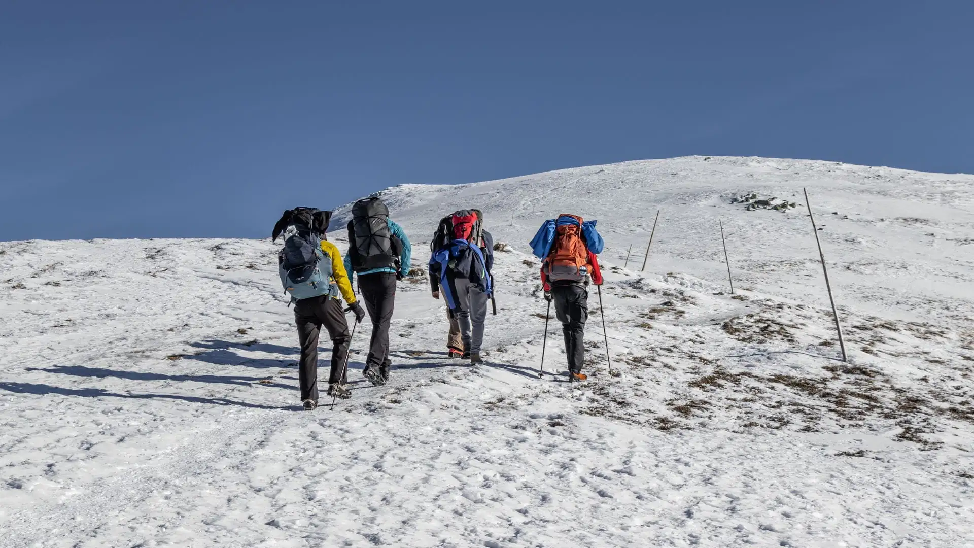
Winter (December–February) | Snow and ice significantly affect the Dharamsala-to-Larkya La section specifically; microspikes often recommended |
Monsoon (June–August) | Muddy, slippery lower-gorge trail with genuine landslide risk; bridges and river crossings require particular caution |
Our best time for Manaslu Circuit Trek guide covers this seasonal picture in full, worth reading alongside this route-focused guide before settling on travel dates.
Planning Your Manaslu Circuit Trekking Route with Adventure Life Nepal
We plan every itinerary around the actual, current trail conditions along this route — not a static description that hasn't accounted for a shifted bridge, a newly extended jeep road, or a season's worth of change near the pass.
If you want to see exactly how this route breaks down into a day-by-day schedule, our Manaslu Circuit Trek itinerary guide and full distance breakdown are the natural next stops, and you can view the complete Manaslu Circuit Trek package once you're ready to look at booking dates.
Frequently Asked Questions about Manaslu Circuit Trekking Route
1. What is the general trekking route for the Manaslu Circuit? It runs from Machha Khola or Soti Khola in Gorkha district, follows the Budhi Gandaki River upstream through Jagat, Namrung, and Samagaon, crosses Larkya La Pass at 5,106 meters, and descends to Dharapani in the Annapurna Conservation Area.
2. Is the Manaslu Circuit trekking route a loop or a point-to-point trail? It's a point-to-point route, not a loop — you start in one valley system and exit through a different one after crossing Larkya La Pass.
3. What is the trail surface like on the lower part of the route? A mix of riverside path, stone steps, and sections cut into the gorge wall, with several suspension bridge crossings over the Budhi Gandaki and its tributaries.
4. What does the trail look like near Larkya La Pass? Rocky, barren, high-altitude terrain — moraine and loose scree, with seasonal snow or ice, transitioning to open, wind-exposed ground right at the pass itself.
5. Are there suspension bridges on the Manaslu Circuit trekking route? Yes, several, concentrated mainly in the lower gorge between Machha Khola and Namrung, where the trail closely follows the Budhi Gandaki River.
6. How has road construction affected the trekking route in recent years? Jeep road access has gradually extended further up the valley in some seasons, which can shift where a standard itinerary practically begins — worth confirming current conditions with your agency before travel.
7. What cultural sites will I pass along the route? Mani walls, chortens, and monasteries become regular features from around Namrung onward, reflecting the upper valley's strong Tibetan Buddhist cultural character.
8. Does the Manaslu Circuit trekking route pass through more than one conservation area? Yes. The route runs primarily through the Manaslu Conservation Area, managed by the National Trust for Nature Conservation, then crosses into the Annapurna Conservation Area near the end of the trek, close to Dharapani.
9. What is the most difficult section of the trekking route? The stretch from Dharamsala to Larkya La and down to Bimthang, combining the route's highest altitude, most technical terrain, and longest single day.
10. Is the trekking route well-marked? Generally yes, with painted trail signs and the mani walls and chortens also serving as informal waypoints, though a licensed guide remains legally required regardless of how clear the trail markings are.
11. What villages does the route pass through? Key stops include Machha Khola, Jagat, Deng, Namrung, Lho, Shyala, Samagaon, Samdo, Dharamsala, Bimthang, Tal, and Dharapani, among smaller settlements along the way.
12. Can I add the Tsum Valley to the standard Manaslu Circuit trekking route? Yes, via a side route branching off near Lokpa, which leads into the neighboring restricted Tsum Valley before rejoining the main circuit.
13. What's the trail like on the descent side of Larkya La? Steep and loose underfoot, dropping over 1,500 meters from the pass to Bimthang in a single push, before reverting to more established forest trail further down.
14. Does the trekking route change with the seasons? Yes, considerably. Autumn and spring offer the most stable trail conditions, while winter brings snow and ice near the pass and monsoon brings mud, landslide risk, and swollen river crossings in the lower gorge.
15. Is the Manaslu Circuit trekking route suitable for trekkers without prior high-altitude experience? It's achievable with proper preparation and a well-paced itinerary, though prior experience above 3,000 meters is a genuine asset given the route's sustained altitude exposure.
16. What is Dharamsala, and why does the route stop there before the pass? Dharamsala (also called Larkya Phedi) is the final overnight stop before Larkya La, positioned to allow an early-morning crossing attempt while conditions are most stable.
17. Does the route offer a side trip to Manaslu Base Camp? Yes, an optional detour from Samagaon reaches Manaslu Base Camp at around 4,800 meters, offering closer views of the mountain for trekkers with an extra acclimatization day.
18. How many suspension bridges are there on the Manaslu Circuit trekking route? The exact number varies by current trail conditions and any temporary rerouting, but multiple crossings are a regular feature of the lower gorge section specifically.
19. Where does the trekking route officially end? Most itineraries conclude at Dharapani, with road transport onward to Besisahar and then Kathmandu or Pokhara.
20. Is the trekking route the same regardless of which itinerary length I choose? Yes, broadly — the physical route stays consistent across 12 to 18 day itineraries; what changes is pacing, rest days, and whether extensions like Tsum Valley or Manaslu Base Camp are included.