Mardi Himal Route 2026: Complete Trail Guide, Map & Key Stops
Introduction to Mardi Himal Route
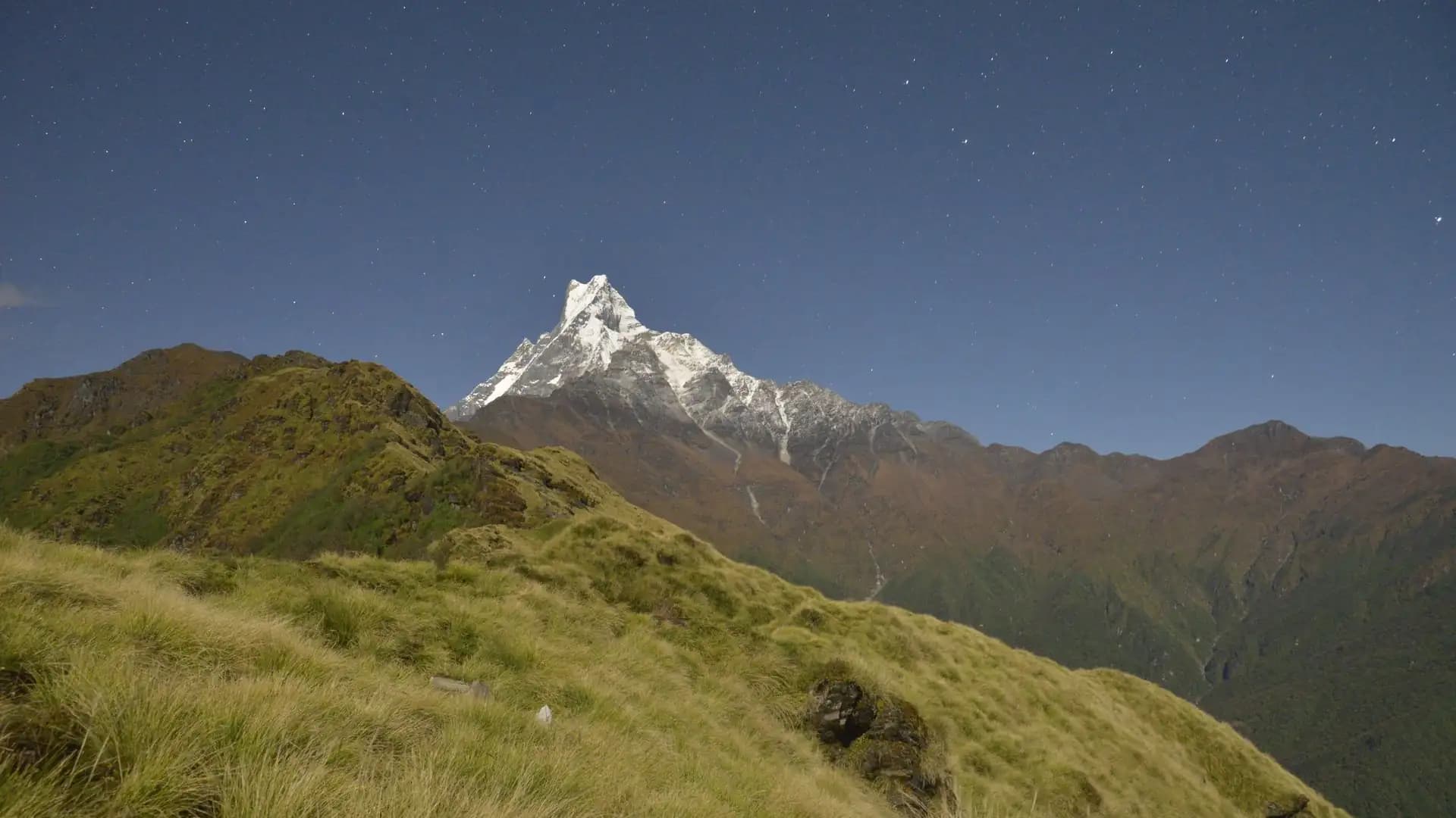
The Mardi Himal trail runs a genuinely distinctive course through the Annapurna region — rather than following a river valley like most Nepal treks, it climbs a single exposed ridge east of the main Modi Khola valley, delivering close, dramatic views of Machhapuchhre (6,993 m) from an angle few other routes in the region offer. The standard route runs from Kande or Dhampus near Pokhara, through Forest Camp and High Camp, to Mardi Himal Base Camp at 4,500 meters, typically completed in four to seven days.
This guide maps out every stage of that route in detail — where the trail goes, what each stop looks like, how the elevation profile actually unfolds, and where it connects to neighboring routes like Khopra Danda and Annapurna Base Camp for trekkers wanting to extend the trip.
Mardi Himal route at a glance
Fact | Detail |
|---|---|
Starting point | Kande (1,770 m) or Dhampus (1,640 m), both near Pokhara |
Highest point | Mardi Himal Base Camp, 4,500 m (13,550 ft), with an optional push to ~4,200–4,700 m viewpoint |
Typical duration | 4–7 days |
Total elevation gain | ~2,730–2,860 m depending on starting point |
Difficulty | Moderate |
Trail type | Single ridge route (not a valley trail) |
Signature feature | Close, unobstructed views of Machhapuchhre along an exposed ridge |
Permits required | ACAP (mandatory) + licensed guide (mandatory since 2023) |
Why Mardi Himal's Route Is Structured Differently From Other Annapurna Treks
Most Annapurna region treks — the Circuit, Annapurna Base Camp, Poon Hill — follow river valleys, climbing gradually alongside a water source through a succession of villages. Mardi Himal breaks from that pattern entirely.
After a short approach through forest, the trail climbs directly onto a narrow ridge system running roughly north from the Kande/Dhampus area toward the base of Machhapuchhre, with the Mardi Khola valley falling away on one side and the Modi Khola valley (the ABC route's valley) falling away on the other.
This ridge-line structure is what gives Mardi Himal its distinctive character: rather than mountain views appearing gradually or only at the destination, much of the trek's second half unfolds along an increasingly narrow, exposed path with panoramic views on both sides for extended stretches — a genuinely different trekking experience from the valley-bottom perspective most other regional routes offer.
The Standard Mardi Himal Route: Stage by Stage
Stage 1: Pokhara to the Trailhead (Kande or Dhampus)
The trek begins with a drive from Pokhara (822 m) to one of two common starting points: Kande (approximately 1,770 m) or Dhampus (approximately 1,640 m), both roughly one to two hours from the city by road. Some itineraries route through Dhampus Phedi as an intermediate drop-off point before the trekking begins on foot.
Starting point | Elevation | Typical drive time from Pokhara |
|---|---|---|
Kande | ~1,770 m | 1–1.5 hours |
Dhampus | ~1,640 m | 1.5–2 hours |
Kande is the more commonly used starting point on current standard itineraries, offering a slightly more direct entry onto the Mardi ridge trail, while Dhampus-based itineraries typically add a short additional trekking stretch through Pothana or Deurali before joining the main ridge trail.
Stage 2: Trailhead to Forest Camp (2,600 m)
From either starting point, the trail enters forest almost immediately, climbing through a mix of subtropical and increasingly temperate woodland toward the first major overnight stop, Forest Camp, at approximately 2,600 meters.
Sub-stop | Elevation | Notes |
|---|---|---|
Pothana (if starting from Dhampus) | ~1,900 m | Intermediate village stop |
Deurali | ~2,100 m | Common first-night stop on some itineraries |
Forest Camp | ~2,600 m | Standard overnight stop |
This stretch of the trail passes through one of the largest rhododendron forests in the region, genuinely spectacular during peak spring bloom (roughly March through April), and the dense forest cover here provides welcome shade during warmer months, in contrast to the increasingly exposed terrain trekkers encounter higher up the route.
Stage 3: Forest Camp to High Camp (3,600–3,900 m)
This is the stage where Mardi Himal's ridge character becomes fully apparent. The trail climbs out of the denser forest, transitioning through progressively thinner tree cover before emerging onto the open ridge itself, with High Camp sitting at an elevation cited anywhere between roughly 3,600 and 3,900 meters depending on the specific source and exact camp location used by different operators.
Sub-stop | Elevation | Notes |
|---|---|---|
Low Camp (on some itinerary variants) | ~3,050 m | Alternative overnight option before High Camp |
High Camp | 3,600–3,900 m | Primary staging point before the final push to Base Camp |
High Camp functions as the trek's key staging point, similar to the role Thorong Phedi plays on the Annapurna Circuit or Deurali plays on the ABC route — the last substantial overnight stop before the final, most demanding push to the trek's highest point. From here, trekkers get their first genuinely close, unobstructed views of Machhapuchhre, since the trail has now fully emerged onto the open ridge.
Stage 4: High Camp to Mardi Himal Base Camp (4,500 m)
The final push to Base Camp is typically undertaken as an early-morning excursion, often starting well before dawn to reach the highest point in time for sunrise — a pattern shared with several other high-altitude Nepal viewpoints, including Kala Patthar on the Everest Base Camp trek and Poon Hill nearby.
Detail | Information |
|---|---|
Elevation gain from High Camp | Roughly 600–900 m depending on exact High Camp elevation used |
Typical departure time | Pre-dawn, often 4:00–5:00 a.m. |
Optional further push | Some itineraries continue beyond Base Camp itself to a viewpoint around 4,700 m on a clear morning |
Terrain | Narrow, exposed ridge; can include some scrambling sections near the top |
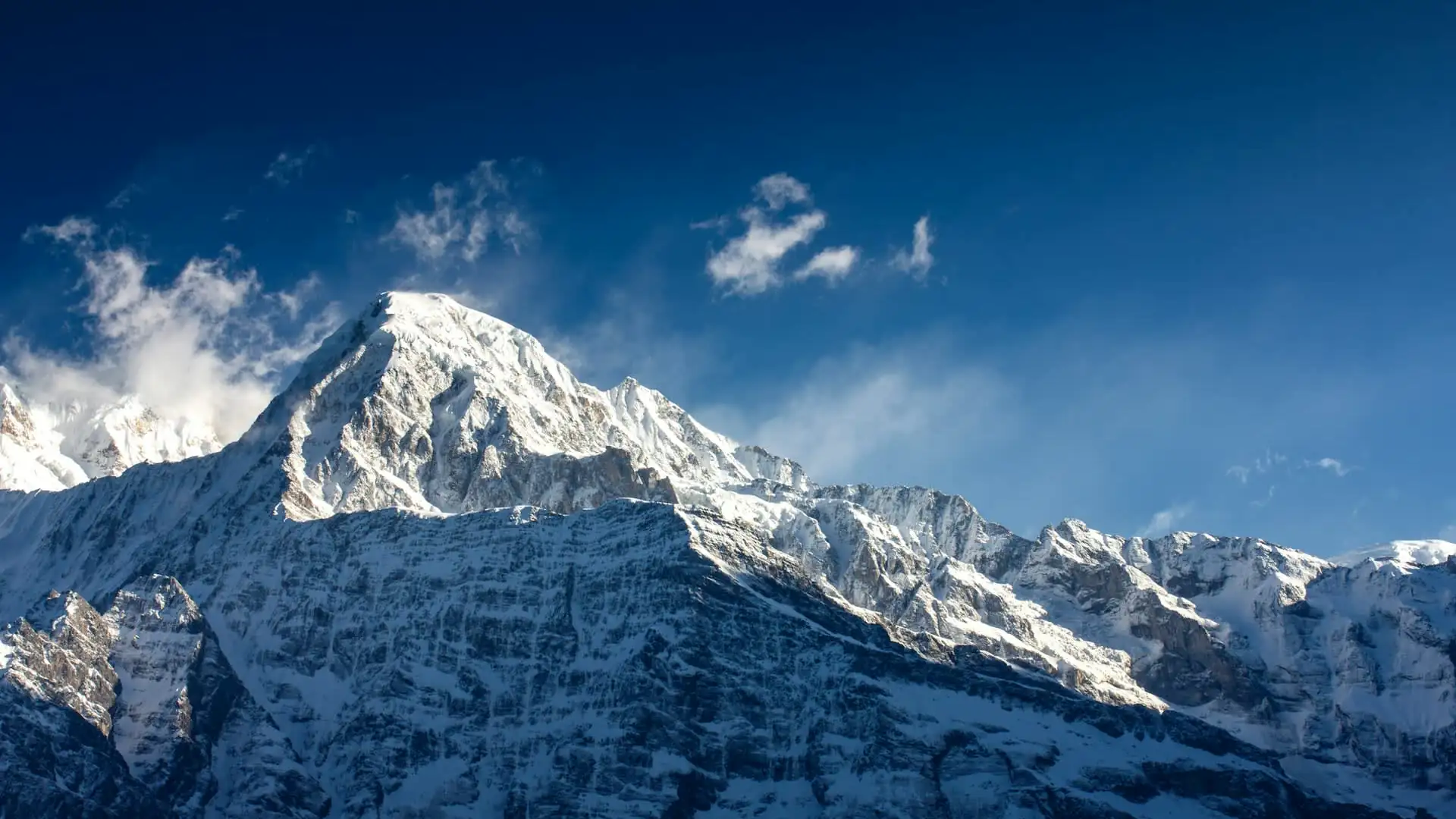
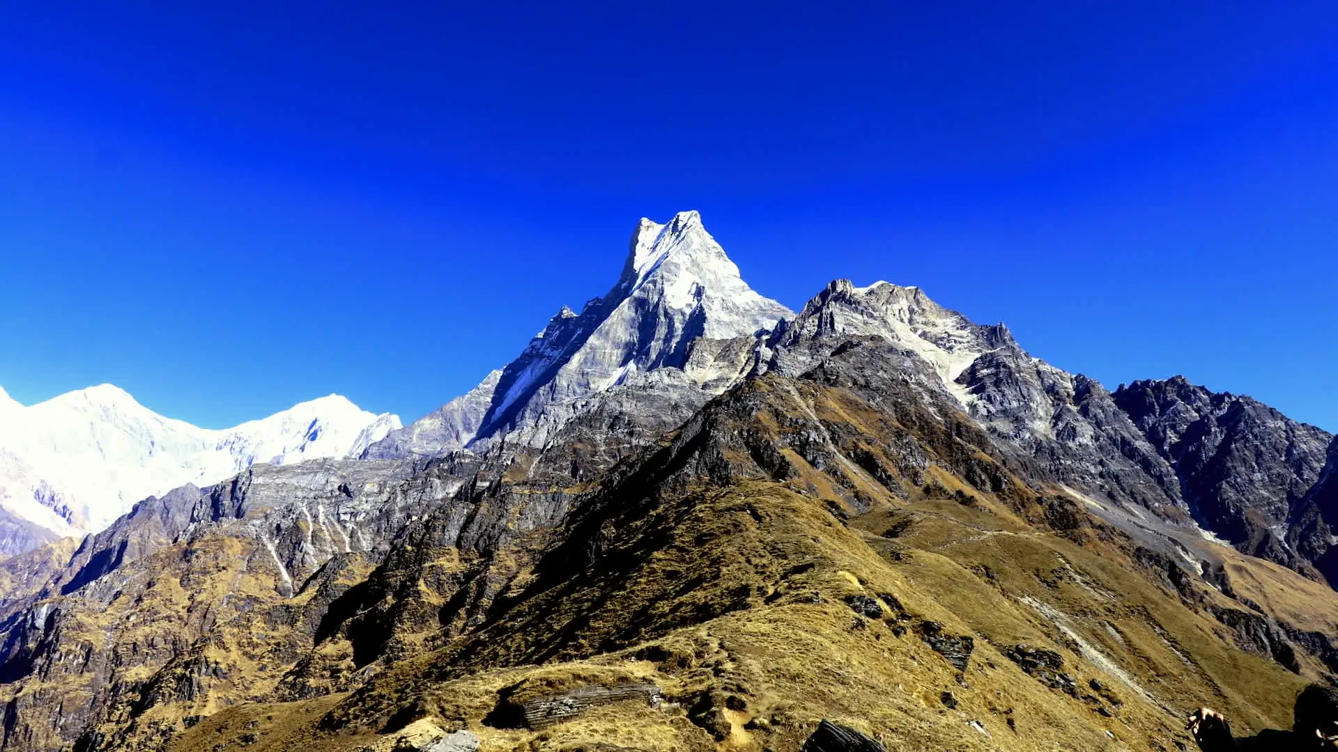
Mardi Himal Base Camp itself sits directly beneath the southern flank of Machhapuchhre, offering one of the closest trekking-accessible views of the peak anywhere in the region — considerably nearer than the more distant views available from Pokhara's Phewa Lake or Sarangkot. On clear mornings, the panorama extends beyond Machhapuchhre to include Annapurna South, Annapurna I, Hiunchuli, and, weather permitting, a broader sweep of the Annapurna range.
Stage 5: Descent
After reaching Base Camp and typically returning to High Camp or Low Camp the same day, the descent generally follows one of two paths depending on the specific itinerary and whether the trek is being combined with another route.
Descent option | Route | Connects to |
|---|---|---|
Standard descent | Low Camp → Landruk | Rejoins the broader ABC trail network |
Alternative descent (combined itineraries) | Via Ghandruk | Links directly to the ABC or Khopra Danda trail systems |
Landruk, at approximately 1,565 meters, is the standard descent endpoint on the classic four-to-seven-day Mardi Himal itinerary, from which trekkers typically drive back to Pokhara. Itineraries combining Mardi Himal with Khopra Danda or a partial ABC extension instead descend via Ghandruk, linking directly into that broader trail network rather than returning straight to Pokhara.
Complete Elevation Profile Table
Putting the full route together, here's the complete elevation profile for the standard Mardi Himal trek from Pokhara to Base Camp and back to Landruk.
Day | Stage | Elevation | Approx. elevation change |
|---|---|---|---|
Day 1 | Pokhara → Kande/Dhampus (drive) → trek to Deurali/Pothana | 1,900–2,100 m | — |
Day 2 | Deurali/Pothana → Forest Camp | 2,600 m | +500–700 m |
Day 3 | Forest Camp → High Camp | 3,600–3,900 m | +1,000–1,300 m |
Day 4 | High Camp → Mardi Himal Base Camp → back to Low Camp | 4,500 m (peak), 3,050 m (overnight) | +600–900 m up, then descent |
Day 5 | Low Camp → Landruk | 1,565 m | -1,485 m |
Day 6 (if applicable) | Landruk → Pokhara (drive) | 822 m | — |
Shorter itineraries compress this into four days by combining stages (particularly the Forest Camp to High Camp and High Camp to Base Camp legs), while longer itineraries add extra acclimatization or buffer days, particularly useful for trekkers wanting additional flexibility around weather at the higher camps.
Trail Difficulty by Section
Understanding which sections of the route are genuinely demanding versus straightforward helps with realistic pacing expectations.
Section | Difficulty | Why |
|---|---|---|
Kande/Dhampus to Forest Camp | Easy–moderate | Forested trail, gradual gain, well-shaded |
Forest Camp to High Camp | Moderate | Steeper, transitioning from forest to open ridge |
High Camp to Base Camp | Moderate–difficult | Steepest single push, exposed ridge terrain, thinner air |
Descent (Low Camp to Landruk) | Moderate | Long, sustained descent, hard on knees |
The exposed ridge sections above High Camp are also where weather and visibility genuinely matter most — this is precisely the terrain that makes seasonal timing (covered in detail in Adventure Life Nepal's separate best-time-to-trek guide) such an important consideration for this specific route, since a cloudy or rainy day on this stretch means walking through fog with no reward at the top, unlike valley treks where the trail itself has scenic value regardless of visibility.
Key Junctions: Where Mardi Himal Connects to Other Routes
Because Mardi Himal branches off from the broader Annapurna Conservation Area trail network rather than existing in complete isolation, it connects to several other regional routes at specific points — genuinely useful to understand if you're considering combining treks.
Junction point | Connects to | Notes |
|---|---|---|
Landruk (standard descent) | Broader ABC trail network | Standard endpoint if not combining routes |
Ghandruk (alternative descent) | ABC trail, Khopra Danda trail | Used when combining Mardi Himal with another route |
Tadapani | Khopra Danda, Poon Hill trail network | Reached via the Ghandruk descent variant |
The most common combination itinerary pairs Mardi Himal with Khopra Danda — completing the Mardi ridge first through Forest Camp, High Camp, and Base Camp, then descending via Landruk and Ghandruk to cross into the Khopra Ridge section via Tadapani, Dobato, and Khopra Danda, before finishing through Ghorepani and Poon Hill.
This combined itinerary typically runs 12 to 14 days and delivers two genuinely distinct mountain panoramas — Mardi Himal's close-up eastern-facing view of Machhapuchhre, and Khopra Danda's wider western-facing panorama toward Dhaulagiri — without repeating the same trail twice.
Permits Required Along the Route
Every trekker on the Mardi Himal route needs the same core documentation required across the Annapurna Conservation Area.
Permit | Cost (2026, foreign nationals) | Status |
|---|---|---|
ACAP (Annapurna Conservation Area Permit) | NPR 3,000 (~USD 23–30) | Mandatory |
TIMS Card | NPR 2,000 (~USD 15–20) | Required by some operators; enforcement varies |
Licensed guide | Varies, often bundled | Mandatory since April 2023 |
Both permits are typically arranged in Pokhara before departing for Kande or Dhampus, and — as with every other Annapurna Conservation Area route — a registered agency handles this as standard practice, given the mandatory guide requirement that applies equally to Mardi Himal as it does to the Circuit, ABC, Poon Hill, and Khopra Danda.
Accommodation Along the Route
Like every other trek in this region, Mardi Himal runs entirely on the teahouse system — small guesthouses providing basic private rooms and home-cooked meals, with no camping required on the standard itinerary.
Stop | Elevation | Typical accommodation standard |
|---|---|---|
Deurali/Pothana | 1,900–2,100 m | Basic teahouses, some attached bathrooms |
Forest Camp | 2,600 m | Basic teahouses, shared bathrooms typical |
Low Camp | 3,050 m | Basic teahouses, shared facilities |
High Camp | 3,600–3,900 m | Very basic, cold, limited facilities |
Base Camp | 4,500 m | No overnight teahouse — visited as a day excursion from High Camp/Low Camp, not an overnight stop |
Important route detail: Unlike Everest Base Camp or Annapurna Base Camp, trekkers do not overnight at Mardi Himal Base Camp itself — the 4,500-meter point is reached as an early-morning excursion from High Camp or Low Camp and then descended from the same day, given the lack of teahouse infrastructure at that exact elevation on this route.
Water Sources and Facilities Along the Trail
Given the ridge nature of this route (as opposed to a river valley trek), water and facility availability follows a somewhat different pattern than valley-based Annapurna treks.
Facility | Availability along the route |
|---|---|
Drinking water | Available at teahouses each stop; purification recommended |
Hot showers | Common at lower stops (Forest Camp and below); limited or unavailable at High Camp |
Wi-Fi | Available at most stops for a fee; weaker at High Camp |
Device charging | Available at most stops for a fee; solar-dependent higher up |
Mobile signal | Present in most lower villages, patchy to absent above High Camp |
Best Direction to Trek the Route
Unlike the Annapurna Circuit, where direction (counterclockwise) is a genuine safety consideration, Mardi Himal is typically trekked as a straightforward out-and-back-with-a-loop-descent route, meaning direction isn't a comparable safety issue.
The standard approach — Kande/Dhampus up to Base Camp, then down via Low Camp to Landruk — is used by the overwhelming majority of trekkers and guided itineraries, largely because it offers the most gradual, sensible elevation progression given the route's compressed timeframe (four to seven days) relative to its 2,700-plus meters of total elevation gain.
Elevation Gain Pacing: Why the Route Is Structured This Way
Even though Mardi Himal's final elevation (4,500 m) sits below Everest Base Camp (5,364 m) or Thorong La (5,416 m), the route's compressed four-to-seven-day timeframe means daily elevation gains are proportionally more significant than on longer treks with more built-in acclimatization buffer.
Stage | Elevation gain |
|---|---|
Trailhead to Forest Camp | ~500–700 m |
Forest Camp to High Camp | ~1,000–1,300 m |
High Camp to Base Camp | ~600–900 m |
The Forest Camp to High Camp stage in particular represents a genuinely significant single-day gain, and it's part of why some itineraries insert an overnight stop at Low Camp (3,050 m) between the two, breaking what would otherwise be an unusually steep single push into two more manageable days — a route variation worth discussing with your agency if you're concerned about pacing given the route's compressed overall timeframe relative to its total elevation gain.
Route Variants: 4-Day vs. 7-Day Itineraries
Itinerary length | Structure | Best suited for |
|---|---|---|
4 days | Compressed, combining some stages; minimal buffer | Very fit trekkers, limited time |
5–6 days | Standard pacing, one stop at each major camp | Most trekkers — the common default |
7 days | Added buffer/rest day, sometimes an extended descent via Ghandruk | Trekkers wanting more flexibility or planning a route combination |
A typical Mardi itinerary runs around four to seven days, climbing from the forest at the trailhead up a single ridge to viewpoints around 4,200 meters and, for those pushing further, Base Camp at approximately 4,500 meters.
It's rated moderate rather than difficult, but the route packs a considerable amount of elevation gain into a short trip — part of why trekkers with only a week to spare are drawn to it, and also why realistic pacing (rather than the most compressed possible schedule) matters for a comfortable experience.
What Makes This Route Geographically Distinct
A few specific geographic features are worth understanding as part of a complete route picture:
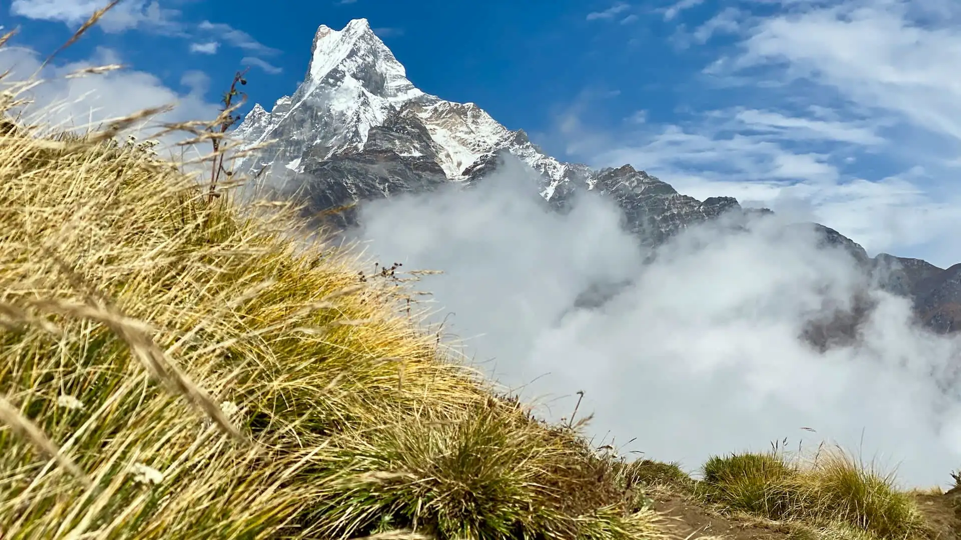
Ridge exposure. Unlike valley treks where trees or terrain provide some wind shelter, the upper sections of the Mardi Himal route — roughly from High Camp upward — are genuinely exposed to wind, meaning weather conditions are felt more directly and can change more noticeably than on comparable-altitude sections of valley-based routes.
Proximity to Machhapuchhre. The route's defining geographic feature is how close it brings trekkers to Machhapuchhre's southern flank — considerably closer than the views available from Pokhara, and offering a genuinely different angle on the peak than the views available from the ABC trail, which approaches Machhapuchhre's base from the west rather than this route's more southeastern approach.
Rhododendron forest density. The lower and middle sections of the trail pass through some of the largest rhododendron forests in the broader Annapurna region, a genuine highlight during peak spring bloom that's easy to overlook when focused purely on the upper ridge sections.
Frequently Asked Questions about Mardi Himal Route
Where does the Mardi Himal trek start?
Either Kande (~1,770 m) or Dhampus (~1,640 m), both reached by a short drive from Pokhara.What's the highest point on the route?
Mardi Himal Base Camp, at 4,500 meters, with some itineraries offering an optional further push to a viewpoint around 4,700 meters on clear mornings.Do trekkers sleep at Base Camp itself?
No. Base Camp is visited as an early-morning excursion from High Camp or Low Camp and descended the same day, given the lack of overnight teahouse infrastructure at that exact point on the route.How is Mardi Himal's route different from other Annapurna treks?
It follows a single exposed ridge rather than a river valley, offering close, sustained views of Machhapuchhre from an angle most other regional routes don't provide.Can Mardi Himal be combined with other treks?
Yes — it's commonly combined with Khopra Danda via the Ghandruk descent variant, and connects into the broader ABC trail network at Landruk and Ghandruk.How long does the Mardi Himal route take?
Typically four to seven days for the standalone trek, longer if combined with Khopra Danda or another extension.Is the Mardi Himal route difficult?
Rated moderate overall — no technical climbing skill required, but the compressed timeframe relative to total elevation gain (roughly 2,700-plus meters) means daily gains are proportionally significant compared to longer treks.What permits are needed for this route?
The ACAP permit and a licensed guide, mandatory since April 2023, same as other Annapurna Conservation Area routes.Where can I get the best views of Machhapuchhre on this route?
From High Camp onward, with the closest and most complete views available at Mardi Himal Base Camp itself on a clear morning.What's the standard descent route?
Via Low Camp to Landruk, where trekkers typically drive back to Pokhara — though itineraries combining Mardi Himal with another trek instead descend via Ghandruk.
Conclusion on Mardi Himal Route
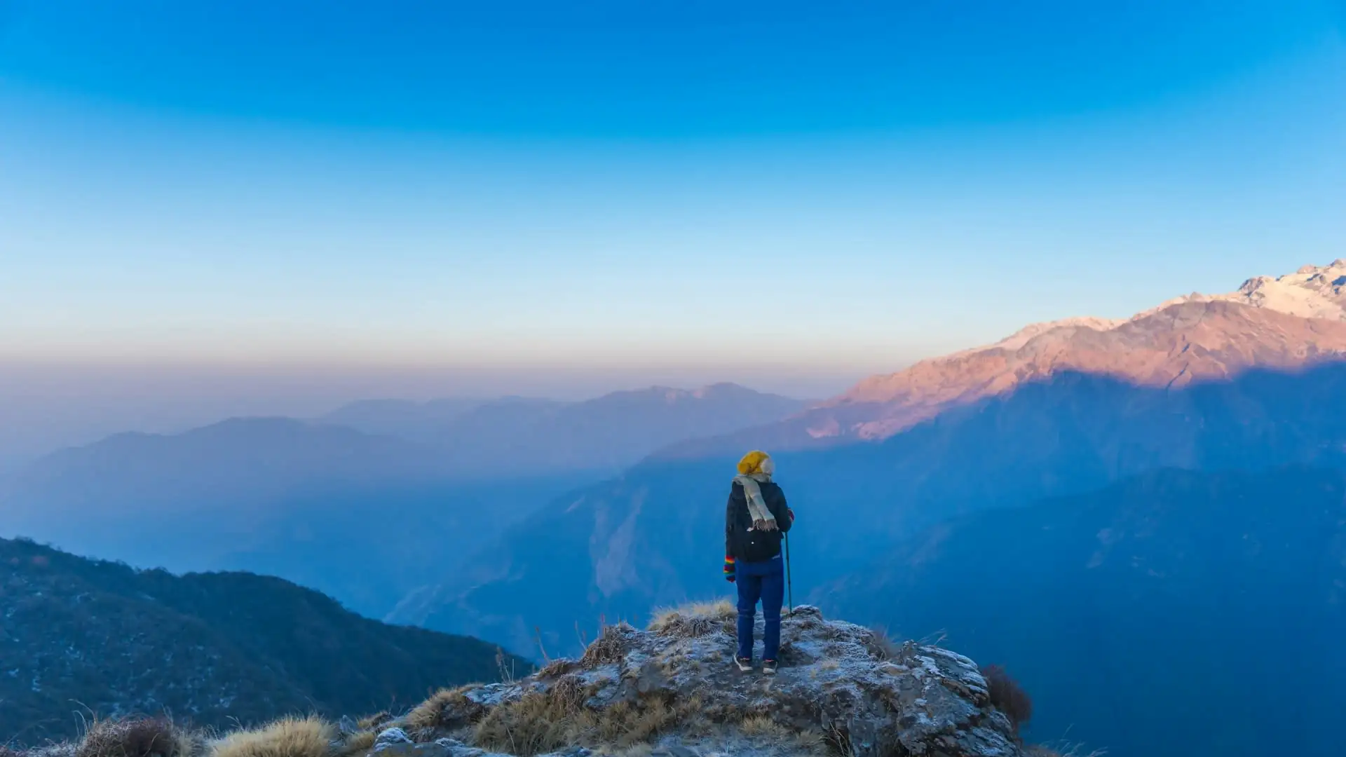
The Mardi Himal route offers something genuinely distinct within the Annapurna region's trail network: a compact, ridge-based path that trades the gradual valley-floor progression of the Circuit or ABC for a shorter, steeper climb directly onto an exposed ridge, delivering some of the closest trekking-accessible views of Machhapuchhre available anywhere.
From the forested approach at Kande or Dhampus, through Forest Camp's rhododendron groves, to High Camp's open ridge and the final pre-dawn push to Base Camp at 4,500 meters, the route packs a genuinely complete high-altitude Himalayan experience into as little as four to seven days — with the flexibility to extend into Khopra Danda or the broader ABC trail network via the shared Ghandruk and Landruk junctions for trekkers with more time available.
Adventure Life Nepal maps every Mardi Himal itinerary around this exact route structure, timed to the seasons and paced to the elevation gain that make this shorter, quieter trek one of the Annapurna region's most rewarding options for trekkers who want genuine mountain views without the multi-week commitment of the region's longer classics.