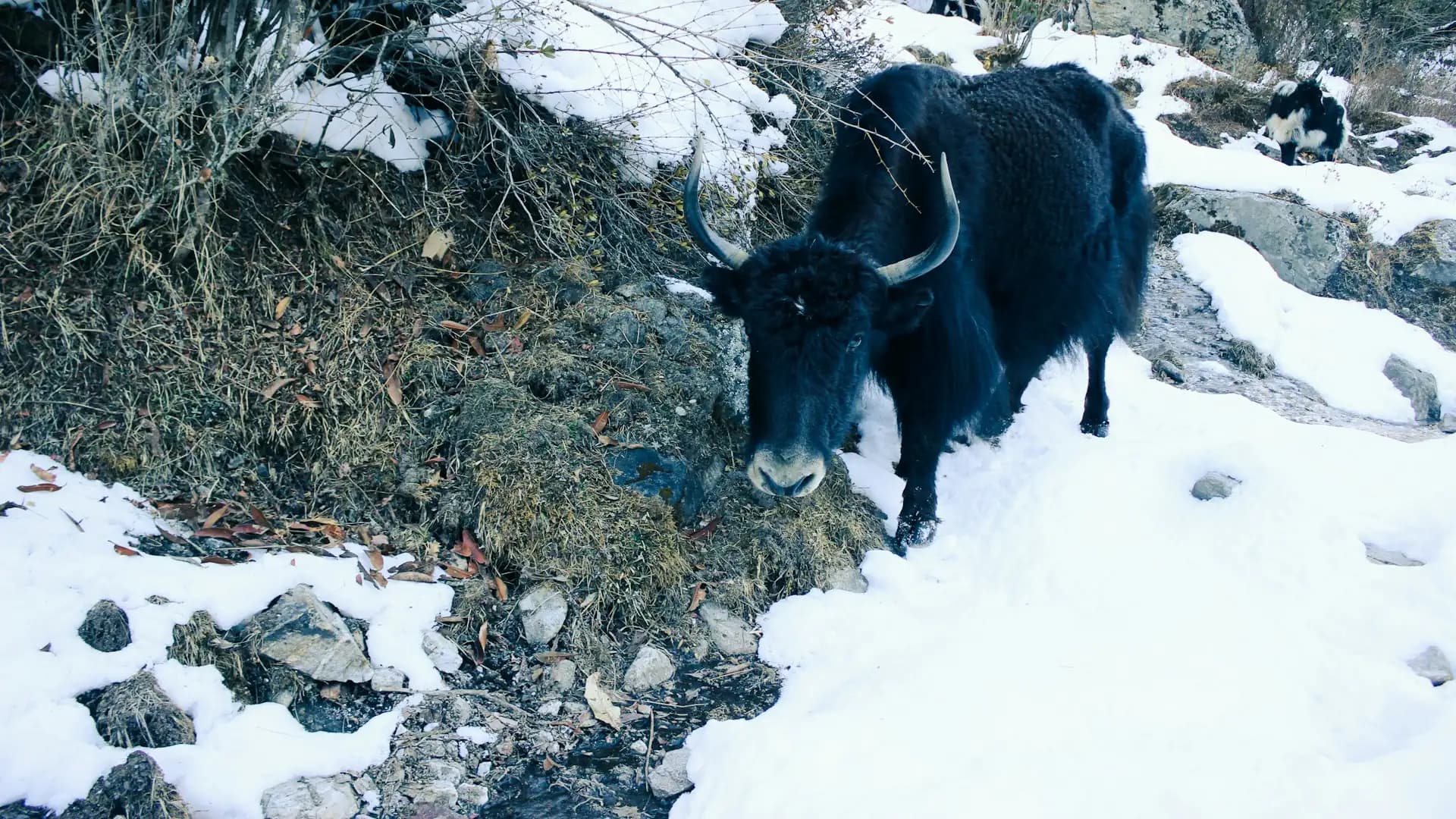
Langtang National Park | Guide, Wildlife, Permits & Facts
Introduction to Langtang National Park
Most people picture Nepal's big mountain parks as a flight and a long wait for the weather. Langtang is different. You can be having breakfast in Kathmandu and by evening be sleeping beside a roaring glacial river, with Himalayan forest closing in around the trail. That closeness is a large part of why this park matters, and it is also why it deserves more careful planning than its "easy access" reputation suggests.
This guide covers what Langtang National Park actually is, what lives there, which routes are worth your time, what the permits cost, when to go, and where trekkers tend to get caught out. If you are still deciding between regions, our overview of trekking in Nepal is a useful companion read.
Langtang National Park at a Glance
Fact | Detail |
|---|---|
Status | National park, managed by Nepal's Department of National Parks and Wildlife Conservation |
Gazetted | 22 March 1976 (royal approval for the park was given in 1970) |
Claim to fame | Nepal's first Himalayan national park and the nation's fourth protected area |
Core area | 1,710 km² |
Buffer zone | 420 km² around the park, declared in 1998 |
Districts | Rasuwa (about 57%), Sindhupalchok (about 36%), Nuwakot (about 7%) |
Altitude range | Roughly 1,000 m in the river valleys to over 7,200 m on Langtang Lirung |
Wildlife highlights | Red panda, snow leopard, Himalayan black bear, musk deer, Himalayan tahr, more than 250 bird species |
Main trekking routes | Langtang Valley, Gosaikunda, Helambu, Tamang Heritage Trail |
Nearest roadhead | Syabrubesi, about 113 km from Kathmandu |
Two details in that table are worth pausing on. First, the park shares a border with Tibet, and it connects to the Qomolangma National Nature Preserve on the Chinese side. Second, the government describes it as the place where the Indo-Malayan and Palearctic biogeographic realms meet. That meeting point is the reason a single walk can take you from warm broadleaf forest to yak pasture and glacial moraine.
Where the Park Is and How You Get There
The park sits north of Kathmandu along the Tibetan border, spread across the Rasuwa, Sindhupalchok and Nuwakot districts. Of all the national parks in the Himalaya, it is the closest to the capital.
Most trekkers enter through Syabrubesi, the last major roadhead, at around 1,500 m. The drive from Kathmandu runs roughly 113 km along the Trishuli river valley and takes anywhere from six to nine hours, depending on road works, landslides and weather. That is longer than the distance suggests, so do not plan a same-day connection on the other end of it.
There are two other ways in. Helambu trekkers usually start near Sundarijal on the northern edge of the Kathmandu Valley and walk north. Tamang Heritage Trail hikers also begin from the Rasuwa side of the road network. Either way, there is no mountain flight involved, which keeps weather delays off your schedule and lowers the cost compared with Everest or Annapurna-region logistics.
A Short History: Why This Valley Was Protected
The idea of protecting Langtang goes back to 1970, when royal approval was given to set aside the area as the first protected zone in the Himalaya. The park was formally gazetted on 22 March 1976. In 1998, an additional 420 km² around the park was declared a buffer zone, where management is a joint effort between the park office and the local communities who live and farm there.
This arrangement is easy to skim past, but it shapes your trek. Villages inside and around the park depend on tourism, and part of the park's revenue is meant to support the people who live alongside the wildlife. The teahouse that serves your dal bhat is often part of that system.
The Landscape: Sal Forest to Seven-Thousanders
Few parks in Nepal pack as much vertical variety into a short walk. According to the park's own description, the vegetation changes along the altitude in clear bands:
Zone | Approximate altitude | What you will see |
|---|---|---|
Lower forest | Below about 2,000 m | Sal forest in the southern part of the park |
Hill forest | About 2,000 to 2,600 m | Chir pine, rhododendron, Nepalese alder, oak |
Upper forest | Towards the tree line | Birch, silver fir, twisted rhododendron scrub |
Alpine meadows | Above the tree line | Yak pastures, juniper, summer grazing land |
Glacier and rock | Above roughly 5,000 m | Moraines, ice, snow peaks |
One botanical detail that gardeners and plant-lovers appreciate: the Nepalese larch, the only deciduous conifer found in the region, grows in the park. In April, rhododendrons bloom through the forest in red, pink and white, which makes spring one of the most colourful windows to visit.
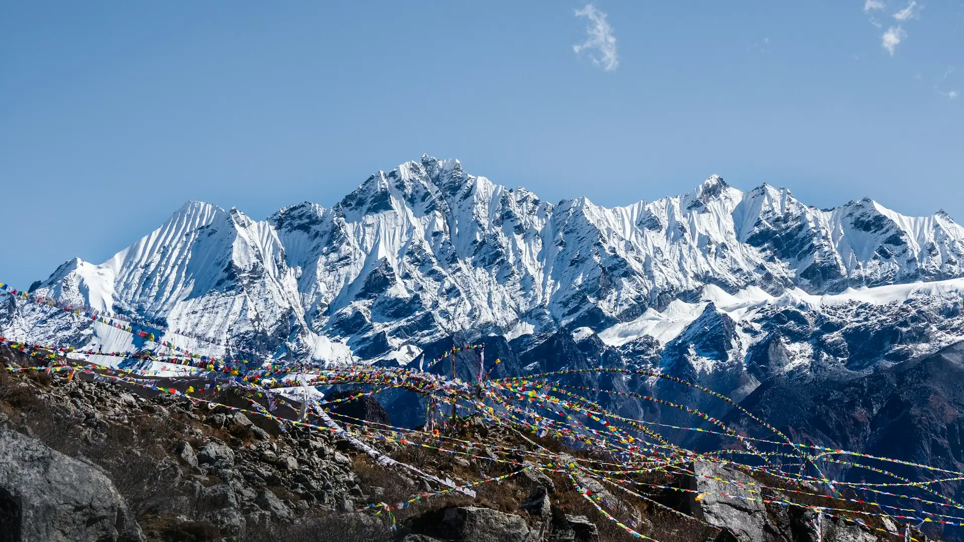
The skyline is just as striking. Langtang Lirung dominates the valley at just over 7,200 m (published figures put it between roughly 7,234 and 7,245 m depending on the survey). Around it stand Langtang Ri, Dorje Lakpa, Yala Peak and the Jugal Himal across the valley. If you want a quick reference for how these heights compare with other Nepal trekking points, our Nepal elevation guide lays them out side by side.
Wildlife in Langtang: What You Can Realistically Expect to See
This is the section most competing pages get wrong, usually by listing every famous animal as if you will meet it on day two. The truth is more interesting.
The park is officially known for its populations of red panda, Himalayan black bear and snow leopard, along with musk deer, Himalayan tahr, goral, serow and more than 250 bird species. The high meadows serve as summer habitat for musk deer and tahr. Beyond those, researchers have also recorded the clouded leopard, common leopard and leopard cat in the park, though these cats are extremely hard to find.
Animal | Where it lives | Realistic chance of a sighting |
|---|---|---|
Langur monkeys (and macaques) | Lower and mid forest, especially around Lama Hotel | Good, most trekkers see them |
Himalayan tahr | Steep, rocky slopes above the tree line | Fair, especially on high-altitude day hikes |
Himalayan black bear | Mixed and upper forest | Low, shy and mostly active at dawn and dusk |
Musk deer | Dense forest and alpine scrub | Low, extremely secretive |
Red panda | Bamboo-rich temperate forest at mid altitude | Very low, seen mostly by patient researchers and lucky guides |
Snow leopard | Alpine and subalpine zones | Extremely low, evidence is usually tracks and scat |
Birdwatching rewards you more reliably. The Himalayan monal, Nepal's national bird, the blood pheasant and snow partridge are among the species recorded, and the park is the only protected area in Nepal that provides breeding ground for the dark-rumped rosefinch during summer.
A practical tip: the best wildlife conversations happen at breakfast, not on the trail. Ask your guide which side valley had recent sightings and walk slowly through the forest section between Syabrubesi and Lama Hotel in the early morning. Silence beats binoculars.
The People of Langtang: Tamang Roots and a Hidden Valley
The valley is home mainly to Tamang and Tibetan-influenced communities who follow Tibetan Buddhism. Locals refer to themselves as Langtangpa. Their mountain, Langtang Lirung, is regarded as their yu-lha, the local protective deity. Many also see the valley as one of the beyul, the hidden sanctuary valleys blessed by Guru Padmasambhava in Tibetan Buddhist tradition.
Livelihoods here have long relied on herding and small-scale farming, and since the mid-1970s, tourism has become a major income source too. Swiss-style cheese making arrived in the 1950s and the yak cheese made in Kyanjin is still a local specialty you can taste on the trail.
It would be dishonest to write about Langtang without mentioning April 2015. The village of Langtang was almost entirely destroyed when the earthquake triggered a massive avalanche and landslide, and hundreds of lives were lost, including residents, trekkers and army personnel. Surrounding villages were damaged too. The community rebuilt, Kyanjin Gompa was reconstructed, and today the lodges you stay in are part of that recovery. Walking through Langtang village with that knowledge makes the visit quieter and more respectful. Spending money with local lodges, buying cheese, and staying in family-run teahouses is one of the most direct ways to support that rebuilding.
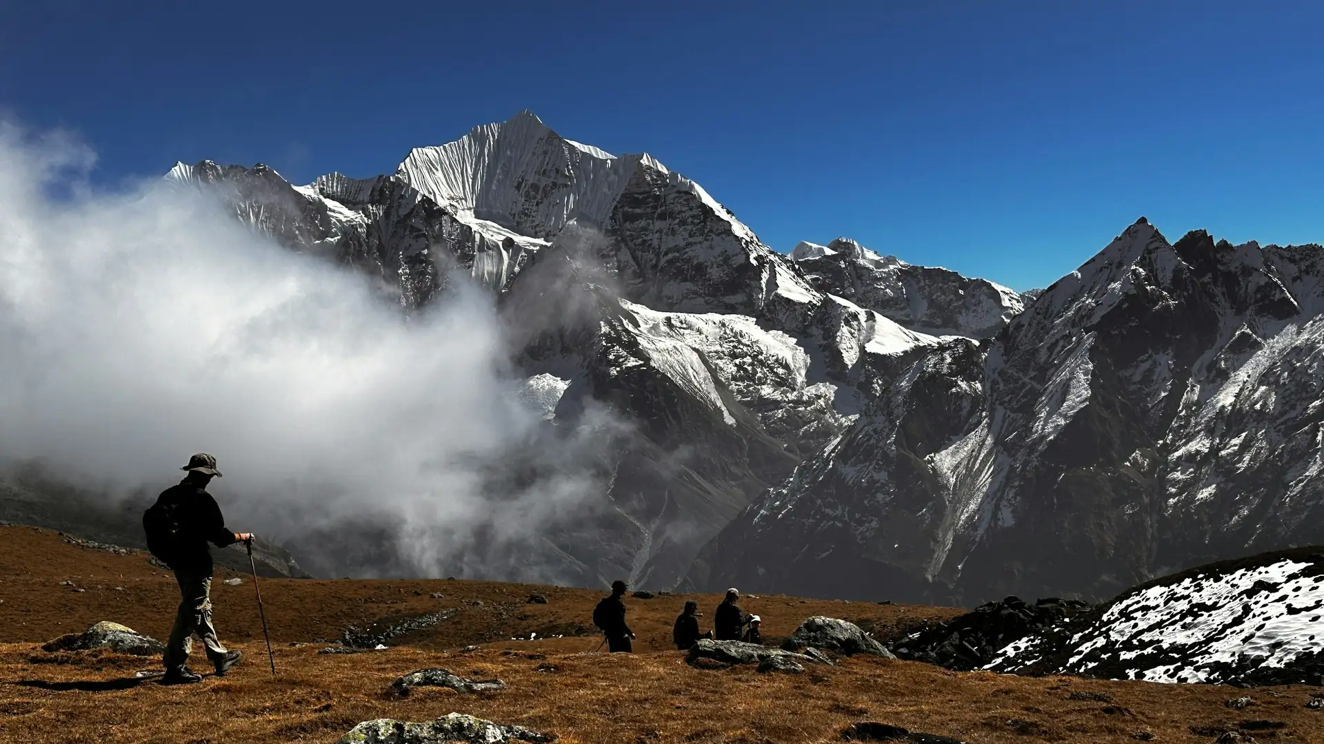
The Main Trekking Routes Inside the Park
Four routes cover most of what trekkers do here, and a fifth is for the self-sufficient. The official park description names three main routes: Langtang Valley, Helambu and Gosaikunda. The Tamang Heritage Trail is a popular cultural addition.
Route | Typical length | Highest point | Best for |
|---|---|---|---|
Langtang Valley | 7 to 10 days | Tserko Ri (4,984 m) as a day hike | First-time Himalayan trekkers, mountain views, culture |
Langtang and Gosaikunda | 10 to 14 days | Laurebina La (4,610 m) | Trekkers wanting a lake, pilgrimage atmosphere and a pass |
Helambu | 5 to 8 days | Varies by route | Shorter schedules, forests, Yolmo villages |
Tamang Heritage Trail | About a week | Moderate | Culture, hot springs, quieter villages |
Panch Pokhari, Langshisa, Ganja La | Remote and demanding | High | Experienced, self-sufficient parties only |
Langtang Valley Trek: The Classic
This is the route that made the park famous. You follow the Langtang Khola upstream through forest, then open into yak pasture, then walk into a wide glacial valley below Langtang Lirung. The turnaround at Kyanjin Gompa sits at about 3,870 m, and from there you can climb Kyanjin Ri (4,773 m) or the higher Tserko Ri (4,984 m) for a full panorama of the Langtang range. Typical walking days run five to seven hours.
If you want a ready-made schedule, our 8-day Langtang Valley Trek follows exactly this shape, with an acclimatization day at Kyanjin built in.
Gosaikunda and the Laurebina Pass
Gosaikunda is a cluster of high alpine lakes sacred to both Hindus and Buddhists, with the main lake at around 4,380 m. During the Janai Purnima full moon in August, pilgrims walk up to bathe in its waters. Linking it to the Langtang Valley makes a longer, more demanding journey over Laurebina La (4,610 m), and the connection between the Langtang and Helambu regions runs over this same pass. Our 12-day Langtang Gosaikunda Trek is built for trekkers who want the lake and the valley in one trip.
Helambu and the Tamang Heritage Trail
Helambu lies southeast of the main valley and is lower and gentler, with forest trails and Yolmo villages. The Tamang Heritage Trail passes through Tamang settlements such as Gatlang, Thuman and Briddim, and the hot springs at Tatopani are a welcome stop. Both suit people who want culture and quiet over high altitude.
Remote Corners
The park's own description warns that places like Panch Pokhari, the foot of the Langshisa glacier and the challenging Ganja La pass require you to be fully self-sustaining. Treat them as expedition-style objectives, not casual add-ons.
What a Langtang Valley Trek Feels Like, Day by Day
Numbers matter here because altitude gain is the real challenge. This outline reflects the structure of a typical eight-day Langtang Valley itinerary. Exact altitudes vary slightly by source, so treat them as approximate.
Day | Route | Approximate altitude | Walking time |
|---|---|---|---|
1 | Kathmandu to Syabrubesi (drive) | About 1,500 m | 6 to 9 hours drive |
2 | Syabrubesi to Lama Hotel | About 2,400 m | 6 to 7 hours |
3 | Lama Hotel to Langtang village | About 3,400 m | 6 to 7 hours |
4 | Langtang village to Kyanjin Gompa | About 3,870 m | 3 to 4 hours |
5 | Acclimatization day, hike to Kyanjin Ri or Tserko Ri | 4,773 m or 4,984 m | Full day |
6 | Kyanjin Gompa to Lama Hotel | About 2,400 m | 6 to 7 hours |
7 | Lama Hotel to Syabrubesi | About 1,500 m | 5 to 6 hours |
8 | Syabrubesi to Kathmandu (drive) | 1,350 m | 6 to 9 hours drive |
The shape of day two is the thing to remember: you start under warm broadleaf forest, cross suspension bridges over the river, and finish the day breathing noticeably thinner air. The big altitude jump happens between Lama Hotel and Langtang village, which is why many experienced guides ask trekkers to walk slowly on day three, however fit they feel.
Permits, Fees and Rules for Langtang National Park
This is the section trekkers search for most and the one that goes out of date fastest, so here is what is clearly documented and what you should double-check.
Park entry permit. Every visitor must hold a park entry permit. According to the Nepal Tourism Board's published park entry fee table, the fee per entry is:
Visitor type | Fee per person per entry |
|---|---|
Foreign nationals | NPR 3,000 |
SAARC nationals | NPR 1,500 |
Nepali citizens | NPR 100 |
Children below 10 years | Free |
The permit is checked at the park entrance near Syabrubesi and at checkpoints along the trail. You can pay at the Tourist Service Center in Kathmandu or at the entry point, and most trekking agencies arrange it for you.
TIMS card. Sources disagree here. Some operators still list a TIMS card for Langtang, while others say the old paper system has been replaced by e-TIMS or has been dropped altogether. Ask your agency exactly which documents apply for your travel dates rather than relying on a blog post, including this one.
Guide requirement. Nepal has moved towards requiring foreign trekkers in national parks and conservation areas to be accompanied by a licensed guide arranged through a registered trekking agency, and Langtang falls within that. How strictly this is checked has reportedly varied over time and by trail, so confirm the situation for your dates. Our detailed breakdown of the Nepal trekking guide requirement for 2026 explains who is affected and what changed this year.
For an official overview of the park itself, the government's Department of National Parks and Wildlife Conservation page is the best primary source.
When to Visit: Season by Season
The park's own description calls autumn the best time to visit, and that matches what most trekkers experience.
Season | Months | What to expect |
|---|---|---|
Autumn | September to November | Clearest skies, stable weather, best mountain views, busiest period |
Winter | December to February | Cold, snow possible at higher altitude (especially January and February), quiet trails, some lodges close higher up |
Spring | March to May | Rhododendrons bloom around April, warmer days, occasional afternoon cloud |
Monsoon | June to August | Rain, leeches in lower forest, landslide risk on the road, but lush green valleys and fewer people |
If you want the most reliable views, pick October. If you want colour and softer light, pick April. If solitude matters more than panoramas, a carefully planned monsoon-edge trip can work, though road conditions to Syabrubesi need extra margin.
What Does a Langtang Trip Actually Cost?
Costs depend on whether you go independently with a guide arranged through an agency or book a full package. The fixed items are straightforward: the park entry fee, a licensed guide, transport to and from Syabrubesi, teahouse lodging and meals. The variable items are what catch people: hot showers, charging, Wi-Fi, bottled water and snacks, all of which become more expensive as altitude increases and supplies are carried further.
As a reference point, our 8-day Langtang Valley package is priced from US$800 per person and the 12-day Langtang Gosaikunda package from US$1,150 per person. For a deeper breakdown of what drives the price, see our guide to the Langtang Valley trek cost, and for a wider budget comparison, the Nepal trekking cost guide for 2026 puts it in context.
When comparing quotes, ask three questions: Is the park permit included? Is the guide licensed and employed through a registered agency? Are porters, transport and the return drive included? A low headline price often hides one of those answers.
Altitude, Health and Safety: Where Trekkers Get Caught Out
Langtang's reputation for being "easy" leads people to underestimate it. The valley floor climbs to nearly 3,900 m at Kyanjin, and optional hikes go above 4,700 m. Altitude sickness can affect anyone, regardless of fitness.
Ascend slowly. Spend a full acclimatization day at Kyanjin and do your high hike during the day, then sleep low.
Know the warning signs. Persistent headache, nausea, dizziness, unusual breathlessness and disturbed sleep mean you stop climbing. Worsening symptoms mean you go down.
Expect little medical help. Most of the park has no medical facilities, so carry a proper first-aid kit and make sure your travel insurance covers high-altitude trekking and emergency evacuation.
Respect the terrain. The park authority notes that Langtang and Helambu trails are rocky and slippery after rain or frost. Good boots and trekking poles are not optional extras.
Watch the weather. Monsoon landslides, winter snow and sudden afternoon cloud can all change a day's plan. A flexible schedule is the cheapest safety tool you have.
Packing and Preparation: The Short, Honest Version
You do not need expedition gear, but you do need the right basics: broken-in waterproof boots, layers that can handle both warm forest and freezing nights, a warm hat and gloves, sun protection, a water bottle with a purification method, and a headlamp. Pack cash in small notes, because there are no ATMs on the trail, and charging and showers are paid extras in most lodges.
For fitness, regular uphill walking with a loaded day pack for a few weeks before your trip makes a bigger difference than gym sessions. Five to seven hours of walking per day is realistic here, so train for time on your feet rather than speed.
Trekking Responsibly in a Fragile Park
The park is changing. Residents have reported that many natural springs in the valley have run dry since the mid-2010s, and scientists have linked the shrinking of the Langtang glacier to human-caused climate change. You cannot fix that on a ten-day trip, but how you walk matters.
Carry out what you carry in, avoid single-use plastic bottles where purified water is available, stay on marked trails, keep a respectful distance from wildlife, and ask before photographing people or prayer wheels. Choose family-run lodges and local guides whenever you can, so the economic benefit stays in the valley.
Frequently Asked Questions About Langtang National Park
1. Where is Langtang National Park located? It lies in north-central Nepal, north of Kathmandu, along the border with Tibet. It covers parts of Rasuwa, Sindhupalchok and Nuwakot districts.
2. When was the park established? Royal approval was granted in 1970 and the park was formally gazetted on 22 March 1976, making it Nepal's first Himalayan national park.
3. How big is the park? The core area covers 1,710 km², with an additional 420 km² buffer zone declared in 1998.
4. How far is Langtang from Kathmandu? The roadhead at Syabrubesi is roughly 113 km away. The drive normally takes six to nine hours depending on road and weather conditions.
5. How much is the Langtang park entry fee? According to the Nepal Tourism Board, foreign nationals pay NPR 3,000, SAARC nationals NPR 1,500 and Nepali citizens NPR 100 per entry. Children below 10 years enter free. Always confirm current rates before travelling.
6. Do I need a permit to trek in Langtang? Yes. A park entry permit is required for everyone entering the park, and checkpoints exist at the entrance near Syabrubesi and along the trail.
7. Is a guide compulsory in Langtang National Park? Nepal's rules point towards foreign trekkers in national parks needing a licensed guide arranged through a registered agency. Enforcement has reportedly varied, so ask your operator to confirm the current position for your dates.
8. Is the TIMS card still required for Langtang? Different sources give different answers, with some referring to e-TIMS or local arrangements. Your agency can tell you exactly which documents apply to your route and dates.
9. What is the best time to visit Langtang National Park? Autumn (September to November) is generally considered best for clear skies and stable weather. Spring (March to May) is the other favourite, with rhododendrons blooming around April.
10. Can I visit Langtang in winter? Yes, but it is cold, and snow is possible at higher altitude, especially in January and February. Trails are quieter, though some higher lodges may be closed and gear needs are greater.
11. What animals live in Langtang National Park? The park is known for red panda, snow leopard, Himalayan black bear, musk deer, Himalayan tahr, goral and serow, along with langur monkeys and more than 250 bird species.
12. Can you really see red pandas or snow leopards in Langtang? Possible, but unlikely on a standard trek. Both are elusive and most visitors never see them. Langurs, tahr and a range of birds are far more realistic sightings.
13. How difficult is the Langtang Valley trek? It is considered moderate. Days involve five to seven hours of walking over uneven terrain, but no technical climbing is needed. Altitude is the main challenge rather than distance.
14. How high is the Langtang Valley trek? Kyanjin Gompa sits at about 3,870 m. Day hikes from there reach Kyanjin Ri at 4,773 m and Tserko Ri at 4,984 m.
15. Is the Langtang trek suitable for beginners? Yes, for reasonably fit beginners who allow time to acclimatize. The shorter itinerary, road access and teahouse lodging make it one of the more approachable Himalayan treks.
16. How many days do I need for the Langtang Valley trek? Plan for about seven to eight days from Kathmandu and back, including drive days and one acclimatization day. Adding Gosaikunda stretches it to around 12 days.
17. What is Gosaikunda and can I include it? Gosaikunda is a sacred alpine lake at about 4,380 m, reached over the Laurebina Pass (4,610 m). Many trekkers combine it with the Langtang Valley for a longer trip.
18. What is the highest mountain in the park? Langtang Lirung is the highest peak in the park at just over 7,200 m, with published figures ranging from about 7,234 to 7,245 m.
19. Is Langtang safe after the 2015 earthquake? The valley has been rebuilt and trekking has resumed, with lodges and Kyanjin Gompa reconstructed. Normal mountain risks still apply, including altitude, landslides in monsoon and slippery trails, so travel with insurance and an experienced guide.
20. Why choose Langtang over Everest or Annapurna? It is closer to Kathmandu, reached by road rather than a mountain flight, usually less crowded and generally cheaper. You still get big Himalayan views, rich Tamang culture and a protected park environment.
Ready to Walk Into Langtang?
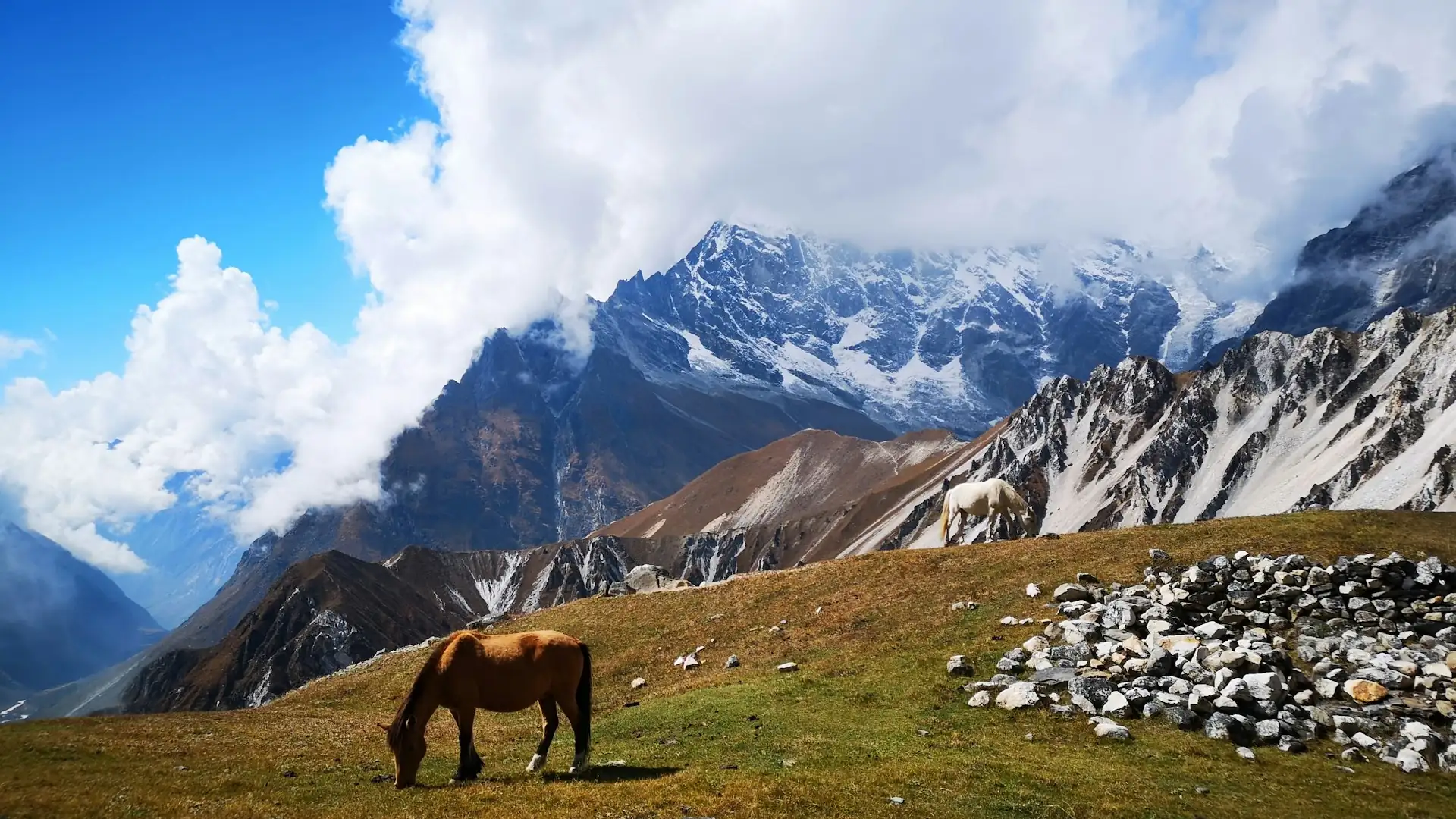
A good Langtang trip is not about squeezing the most altitude into the fewest days. It is about the right route, the right season and a guide who knows when to slow down. If you would like help choosing between the classic valley trek, the Gosaikunda extension or a quieter Helambu option, our team can build the itinerary around your dates, fitness and budget.
Talk to an expert on WhatsApp: +977 9841248242
You can also reach the team through our contact page, and we will reply with route options, permit guidance and a clear, itemised quote.
Written by Dil Bahadur Karki