Annapurna Circuit Trek Weather: Complete Guide 2026
Introduction to Annapurna Circuit Trek Weather
There's a moment on almost every Annapurna Circuit itinerary where the weather conversation stops being theoretical. It's usually the night before crossing Thorong La, sitting in a cold dining hall at Thorong Phedi or High Camp, when someone asks the guide directly: "What's it actually going to be like up there tomorrow?" The honest answer depends on more than the season on the calendar — it depends on elevation, time of day, wind, and how all three interact on a mountain pass nearly 5,500 meters above sea level.
This guide exists to answer that question properly, month by month and zone by zone, because the Annapurna Circuit's weather isn't a single number you can look up once and apply to the whole three-week journey. The trek spans an elevation range of roughly 800 meters at Besisahar to 5,416 meters at Thorong La — a difference so large that temperature, precipitation, and even the season's basic character can shift dramatically within a single day's walk.
Every figure below is checked against multiple current sources, and where those sources genuinely disagree (which happens often on a route this remote, since data comes from different elevations, different measurement years, and different specific teahouses), that range is presented honestly rather than smoothed into false precision.
Why Elevation Dominates This Trek's Weather More Than Season Does
Before the month-by-month breakdown, it's worth understanding the single physical fact that shapes everything else in this guide: temperature drops by roughly 6.5°C for every 1,000 meters of elevation gained.
This is a standard atmospheric lapse rate, and it explains why a "warm" spring day in Besisahar (800m) can coexist with genuinely cold, snow-affected conditions at Thorong Phedi (4,540m) on the very same date. What feels comfortable at Manang (3,540m) will be significantly colder at Thorong Phedi, and colder again — often dramatically so, with added wind chill — at the pass itself.
This is the core reason this guide breaks weather down by elevation zone as well as by month, rather than giving a single seasonal summary. A single "October is great" statement is true, but it means something quite different at Besisahar than it does at Thorong La.
The Three Elevation Zones
Zone | Approximate elevation range | General character |
|---|---|---|
Lower region | 800-2,000m (Besisahar, Chame, Pisang) | Warmest zone; behaves closer to standard hill-country climate |
Mid region / Manang zone | 2,000-3,500m (Manang, Braga) | Noticeably cooler, especially at night; the trek's main acclimatization hub sits here |
High region | 3,500-5,416m (Yak Kharka, Thorong Phedi, High Camp, Thorong La) | Genuinely cold year-round; the zone where season matters least and elevation matters most |
The Four Seasons at a Glance
Season | Months | General character |
|---|---|---|
Spring | March-May | Warming temperatures, blooming rhododendrons at lower elevation, generally stable with some afternoon cloud buildup later in the season |
Monsoon | June-August | Heavy, sustained rainfall at lower elevation; humid; muddy trails and leech risk below the mid-hills |
Autumn | September-November | Widely regarded as the most stable, clearest season of the year — the benchmark against which every other season is measured |
Winter | December-February | Cold and often snowy at higher elevations; genuine risk of Thorong La becoming snow-blocked, particularly in January and February |
Seasonal Weather Summary Table
Season | Low altitude (day/night) | High altitude near the pass (day/night) | Trail conditions |
|---|---|---|---|
Spring (Mar-May) | Roughly 10-25°C / 0-12°C | Roughly -10 to 5°C / -10 to 0°C | Generally dry; some residual mud in early March |
Monsoon (Jun-Aug) | Roughly 16-30°C / 6-17°C | Roughly -3 to 14°C / -2 to 6°C | Wet and muddy on lower trails; leech risk in forested sections |
Autumn (Sep-Nov) | Roughly 10-24°C / -2 to 10°C | Roughly -8 to 8°C / -8 to -3°C | Dry, stable, firm underfoot — the most reliable conditions of the year |
Winter (Dec-Feb) | Roughly 6-15°C / -5 to 5°C | Roughly -20 to 1°C / -20 to -10°C | Icy at altitude; genuine risk of snow-blocked passes |
These figures represent general planning ranges compiled across multiple current sources — individual years and specific weather events can push conditions outside these bands in either direction, which is exactly why buffer days and current, on-the-ground guide knowledge matter more on this trek than on shorter, lower-altitude routes.
Month-by-Month Weather Breakdown
January
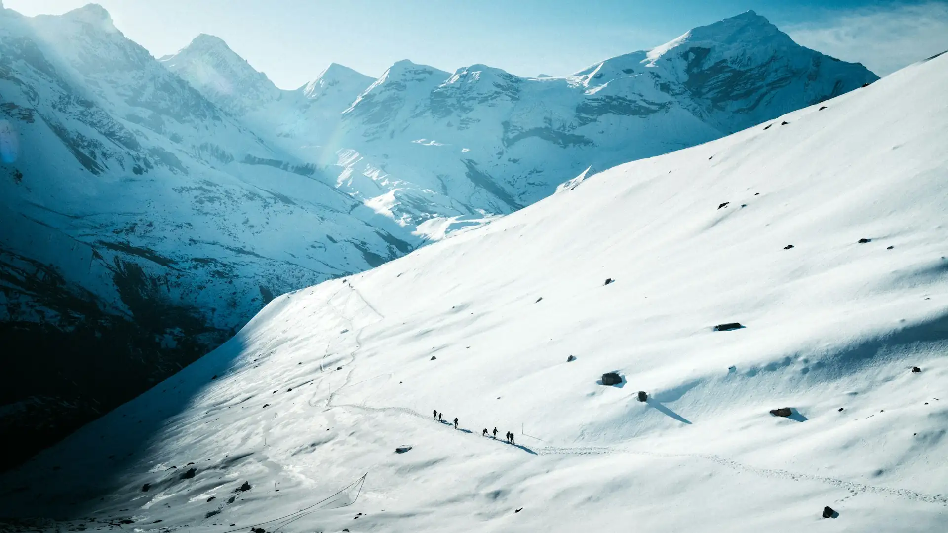
January is consistently identified as one of the coldest, if not the single coldest, month on the Annapurna Circuit. Lower regions (Besisahar, Chame, Pisang, generally below 3,000m) see daytime temperatures roughly 5-15°C, dropping to roughly -5 to 0°C at night. In the mid-altitude zone around Manang and Yak Kharka, daytime temperatures run roughly -5 to 3°C, with nights falling to roughly -15 to -8°C.
At the highest elevations near Thorong Phedi and the pass itself, nighttime temperatures can drop to -20°C or colder, with wind chill occasionally pushing the effective temperature significantly lower still.
Snowfall becomes frequent and sometimes heavy above roughly 3,500 meters, and the pass, while generally still passable in most years, can carry occasional snow patches and requires extra caution. Skies at lower elevation are typically clear, offering excellent visibility, even as conditions at altitude turn genuinely harsh.
What to expect: Extremely cold nights at altitude, the highest snow-related risk of the year near Thorong La, very quiet trails, and clear skies at lower elevation even as the highest sections turn genuinely wintry.
February
February continues the deep-winter pattern established in January, with some sources describing it as marginally colder in raw numbers and others noting a gradual, if modest, improvement as the month progresses toward spring. Lower-region daytime temperatures run roughly 6-17°C, while high-altitude conditions near the pass remain firmly in the -8 to -20°C range, particularly overnight.
Heavy snow remains a real possibility in the higher zones, and this is still considered one of the two most challenging months of the year for a Thorong La crossing, alongside January.
What to expect: Continued serious cold and snow risk near the pass, gradually lengthening daylight, and trails that remain among the quietest of the year.
March
March marks the genuine start of spring, though the transition happens unevenly across elevation zones. Lower regions warm noticeably, with daytime temperatures reaching roughly 10-22°C, while the mid-altitude Manang zone sees daytime temperatures around 0-15°C and nights still capable of dropping to roughly -5 to 0°C.
Near the pass, conditions remain genuinely cold and can include leftover winter snow — daytime highs at Thorong La itself may still range from roughly -15°C to 5°C, with nights considerably colder. Snow begins melting at lower elevations, and mornings typically become clearer as the month progresses, though early March can still carry some residual mud and lingering winter character at altitude.
What to expect: A genuine transition month — noticeably milder lower down, but still requiring serious cold-weather preparation for the Manang-to-Thorong La stretch, with the pass itself potentially still snow-affected early in the month.
April
April is widely cited, alongside October, as one of the two best months of the year for this trek. Lower-region daytime temperatures reach roughly 12-23°C, with the mid-altitude zone considerably milder than in March. This is peak rhododendron season across the lower and mid-elevation forest zones, and stable weather with long, clear days is the norm. Even at this favorable time of year, nights near the pass remain cold, and proper cold-weather gear is still essential for the Thorong Phedi-to-Thorong La stretch.
What to expect: Comfortable, stable trekking conditions through most of the route, blooming forests lower down, and generally reliable (though still genuinely cold at altitude) conditions for the pass crossing.
May
May continues the warming trend, with lower-region daytime temperatures reaching roughly 15-25°C. As the month progresses toward the monsoon's onset, afternoon cloud buildup becomes more frequent, occasionally softening visibility later in the day, though mornings typically remain clear enough for good views. This is generally considered the last reliably favorable month before monsoon conditions begin to take over.
What to expect: Warm, comfortable trekking through the lower and mid sections, with increasing but still manageable afternoon cloud, and continued need for serious cold-weather gear at the pass itself.
June
June marks the start of the monsoon season. Lower-region temperatures climb further, with daytime highs reaching roughly 18-28°C, but this warmth comes paired with rising humidity and increasing rainfall. High-altitude conditions near the pass actually become somewhat milder in raw temperature terms during this period (roughly 2-12°C at altitude), but trail conditions lower down deteriorate noticeably, with mud, slippery stone steps, and rising leech activity in forested sections becoming the more relevant practical concerns.
What to expect: Rising rainfall and humidity, muddy lower trails, milder but wetter high-altitude conditions, and a shift in difficulty from cold to wet.
July
July sits near the peak of Nepal's monsoon season. Lower-region daytime temperatures run roughly 19-27°C, but sustained, heavy rainfall dominates the weather pattern across the lower and mid-elevation sections of the route.
This is consistently identified as one of the most physically challenging months to trek given wet, slippery conditions and reduced visibility, though the higher-altitude zones near the pass see comparatively milder temperatures than in winter.
What to expect: Heavy, sustained rain at lower elevation, muddy and slippery trail conditions, elevated leech activity, and generally poor long-distance mountain visibility.
August
August continues the monsoon pattern established in July, with persistent rainfall and continued landslide risk on steeper or more exposed lower-elevation sections. Lower-region temperatures remain warm, roughly 18-25°C during the day, but wet trail conditions and reduced visibility persist as the defining features of the month.
What to expect: Continued heavy rain, elevated landslide risk on vulnerable lower sections, and limited mountain visibility for much of the month.
September
September marks the gradual transition out of monsoon and into the autumn trekking season, though this shift happens unevenly rather than all at once. Early September can still carry residual monsoon rain, particularly in the first half of the month, but conditions stabilize considerably as the month progresses. This transitional character makes September a somewhat underrated choice for trekkers who want improving conditions without autumn's peak crowds.
What to expect: A gradual return to stable, dry weather by mid-to-late month, with improving visibility as the monsoon retreats.
October
October is the single best month of the year for the Annapurna Circuit, sometimes described as "the gold standard month." Weather is dry and stable across every elevation zone, skies are consistently clear, and this combination produces the most reliable mountain visibility of the entire year. Thorong La is generally at its safest and most predictable during this month, with minimal snow risk.
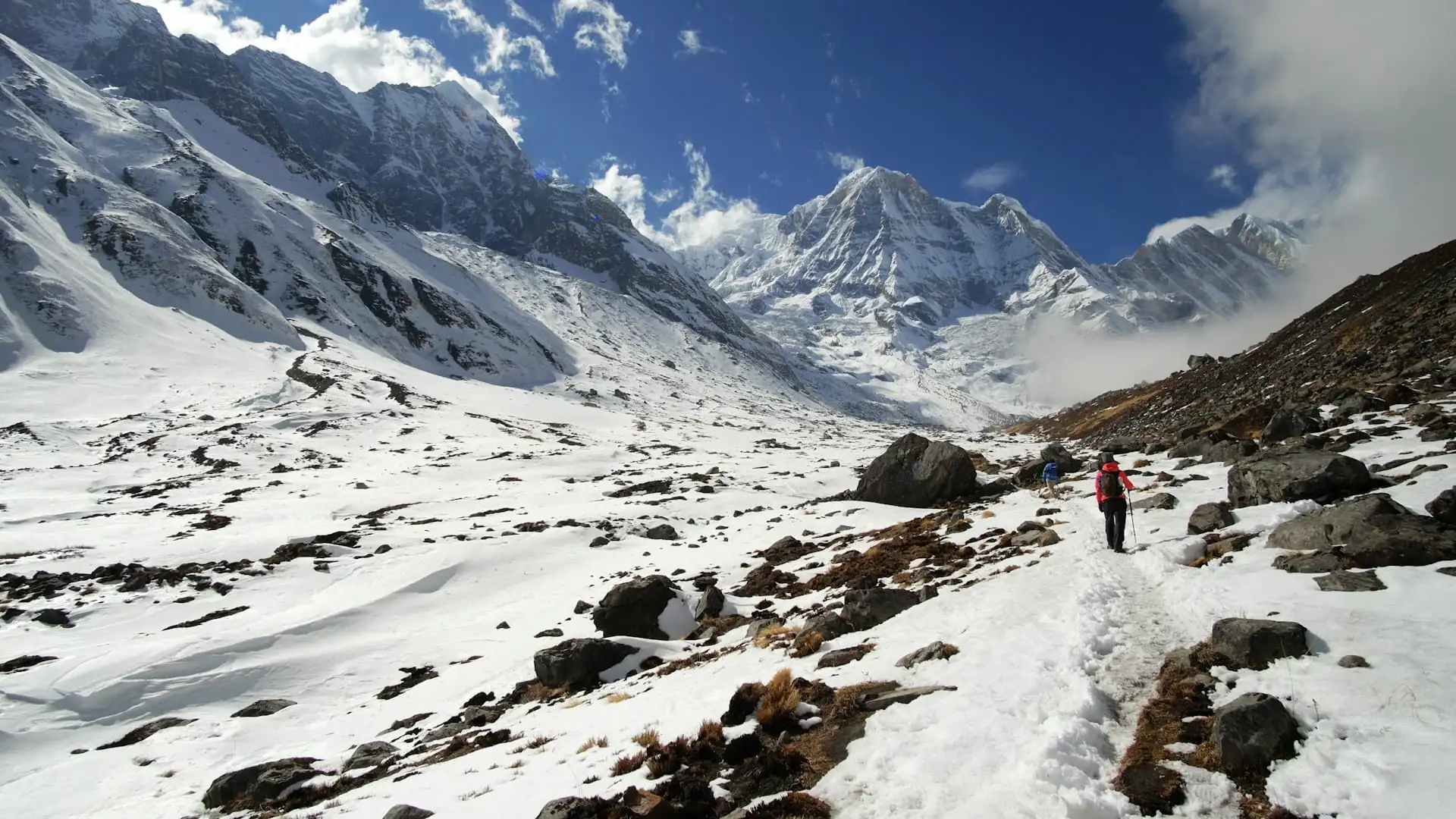
The trade-off is that October is also, by a wide margin, the busiest month on the trail, meaning teahouses fill quickly, particularly at capacity-limited stops like Thorong Phedi and High Camp, making advance coordination genuinely valuable.
What to expect: The most reliable, clearest weather window of the year across the entire route, the safest conditions for crossing Thorong La, and the highest trekker volume of any month.
November
November continues much of October's favorable character, with conditions described by multiple sources as broadly similar, if slightly colder as the month progresses and winter approaches. Thorong La remains open and generally stable through November, though the descent toward Muktinath can be notably windier than in October, making an extra wind layer worth packing specifically for this stretch.
Crowds thin meaningfully compared to October — some sources estimate a 30-40% reduction — making late November an increasingly popular choice for trekkers who want autumn's reliability with a quieter trail experience, provided they're prepared for colder nights and a genuinely capable sleeping bag.
What to expect: Continued clear, stable weather with the pass still reliably open, progressively colder nights as the month advances, and a meaningfully quieter trail than the October peak.
December
December marks the start of winter, and the shift happens gradually across the month rather than all at once. Early December can still offer relatively favorable, clear conditions and is considered a decent option for well-prepared trekkers seeking a quiet trail and clear winter skies.
As the month progresses, particularly from mid-December onward, temperatures fall more decisively — daytime readings in the lower regions drop to roughly 5-12°C, and nights at higher elevations can reach -15°C to -20°C or colder. Snow becomes increasingly established near Thorong La as the month advances, and some smaller, higher-elevation teahouses may begin closing for the season given reduced demand and harsher conditions.
What to expect: A genuine transition into winter, with early December still relatively favorable but conditions deteriorating as the month progresses; increasing snow risk near the pass and the start of seasonal teahouse closures at the highest, most exposed stops.
Thorong La Pass: Weather Status by Season
Because the pass functions as the trek's single point of failure — there's no alternative route around the Annapurna massif — its specific weather status deserves its own dedicated breakdown.
Season | Pass status | Notes |
|---|---|---|
Spring (Mar-May) | Generally open and safe, especially April-May | Early March can still carry residual winter snow |
Monsoon (Jun-Aug) | Technically passable but generally avoided | Poor visibility and unstable conditions on approach sections outweigh the milder raw temperatures at the pass itself |
Autumn (Sep-Nov) | Safest and most reliable window of the year | October is the gold-standard month; November remains reliable though colder and windier |
Winter (Dec-Feb) | Increasingly risky, especially January-February | Genuine possibility of snow closure; always confirm current conditions before departure |
Daytime summit temperatures at the pass typically range from roughly -5°C to 5°C in spring and autumn, dropping to roughly -10°C to -15°C in winter, with wind chill capable of pushing the effective temperature to -25°C or colder on the worst days. Overnight temperatures at High Camp, the final staging point before the crossing, typically run -8°C to -12°C in spring and autumn, and -15°C to -20°C in winter.
Rainfall and Precipitation Patterns
Season | Precipitation character |
|---|---|
Spring (Mar-May) | Generally dry, with some scattered showers increasing toward late May as monsoon approaches |
Monsoon (Jun-Aug) | Heavy, sustained rainfall at lower and mid elevations; snow rather than rain at the highest points |
Autumn (Sep-Nov) | Minimal rainfall, especially from mid-September onward — the driest, most stable period of the year |
Winter (Dec-Feb) | Very low rainfall overall, but meaningful snowfall at higher elevations, particularly above 3,500m |
A useful distinction worth remembering: winter on this trek is technically a "dry" season in terms of rainfall, but that dryness is misleading if applied to the whole route — what falls at altitude in winter is snow, not rain, and it's this snow (rather than rainfall totals) that drives the season's real difficulty and pass-closure risk.
Full Temperature Reference Table by Zone and Month
Month | Lower region (800-2,000m) | Mid region / Manang zone (2,000-3,500m) | High region near the pass (3,500-5,416m) |
|---|---|---|---|
January | 5-15°C day / -5 to 0°C night | -5 to 3°C day / -15 to -8°C night | -10°C to 5°C day / -20°C to -25°C night (with wind chill) |
February | 7-17°C day / roughly -3°C night | -3 to 12°C day / -8 to -15°C night | Similarly cold; gradual improvement late in the month |
March | 10-22°C day | 0-15°C day / -5 to 0°C night | -15°C to 5°C day / -25°C to -15°C night |
April | 12-23°C day | 3-18°C day | -2°C to 12°C day, considerably milder than winter |
May | 15-25°C day | 5-20°C day | 0°C to 13°C day |
June | 18-28°C day, rising humidity | 10-22°C day | 2°C to 12°C day |
July | 19-27°C day, heavy rain | 12-23°C day | 4°C to 13°C day |
August | 18-25°C day, continued rain | 10-21°C day | 2°C to 10°C day |
September | Transitional, improving through the month | Transitional | Transitional |
October | Roughly 5-16°C day (post-monsoon, cooling) to as warm as low-20s°C depending on source | Stable, clear, comfortable | -8°C to 8°C day, safest window of the year |
November | 0-18°C day, clear and dry | Colder than October, still stable | -12°C to 8°C day / -20°C to -10°C night |
December | -5°C to 12°C day | Cooling further | -18°C to 5°C day / -25°C to -15°C night, difficult |
Note: figures across sources vary meaningfully for October and November specifically at lower elevation, reflecting genuine differences in measurement location and year — treat these as planning ranges rather than a precise daily forecast, and confirm current conditions with your guide or operator as your departure date approaches.
Best Time to Trek, Ranked
Rank | Season/Months | Why |
|---|---|---|
1 | October | The single most stable, clearest month of the year; safest pass conditions; highest trekker volume |
2 | April | Comparable stability to October with the added benefit of blooming rhododendrons; the other most commonly recommended month |
3 | November | Nearly as reliable as October with meaningfully thinner crowds, at the cost of colder nights and a windier pass descent |
4 | March / May | Solid shoulder-season options — March offers fewer crowds with occasional lingering snow risk; May offers good weather with increasing afternoon cloud as monsoon approaches |
5 | September | An underrated transitional month — improving conditions without autumn's peak crowds, though early-month residual monsoon rain is possible |
6 | Winter (Dec-Feb) | Clear skies and dramatically quieter trails for well-prepared trekkers, but genuine cold and real pass-closure risk, particularly January-February |
7 | Monsoon (Jun-Aug) | Least recommended for most trekkers — heavy rain, muddy trails, and reduced visibility, though milder raw temperatures at altitude |
Choosing a Month Based on Your Priorities
Priority | Recommended months | Why |
|---|---|---|
Clearest mountain views and safest pass crossing | October, November | Lowest snow risk, most consistent visibility of the year |
Warmest overall conditions | April, May | Milder daytime and nighttime temperatures than autumn or winter |
Fewest crowds while maintaining reliable weather | Late November, September | Meaningfully thinner trails than the October peak, without winter's cold or pass-closure risk |
Rhododendron blooms | Late March through April | Peak flowering season in the lower and mid-elevation forest zones |
Solitude, accepting real cold-weather demands | December, January, February | Substantially quieter trails, but genuine winter conditions and pass-closure risk require serious preparation |
Avoiding monsoon-related hazards entirely | Any month outside June-August | Sidesteps the heaviest rainfall, landslide risk, and leech season |
Budget-focused travel with weather trade-offs accepted | Monsoon or deep winter | Generally lower demand can correspond to more flexible package pricing, though at real weather and safety cost |
How Weather Affects Trail Conditions by Section
Lower Section (Besisahar to Chame)
This section is most affected by monsoon rainfall, given its forested, river-valley terrain — muddy trails, slippery stone steps, and landslide risk on steeper sections are genuine concerns from June through August. Outside monsoon, this stretch remains generally reliable and well-maintained year-round.
Middle Section (Chame to Manang)
Weather-related difficulty here shifts from rain risk (in monsoon) to increasing cold as elevation climbs. Snow can affect this stretch in winter, though it's generally less severe and less trail-disrupting than conditions above Manang.
High Section (Manang to Thorong La)
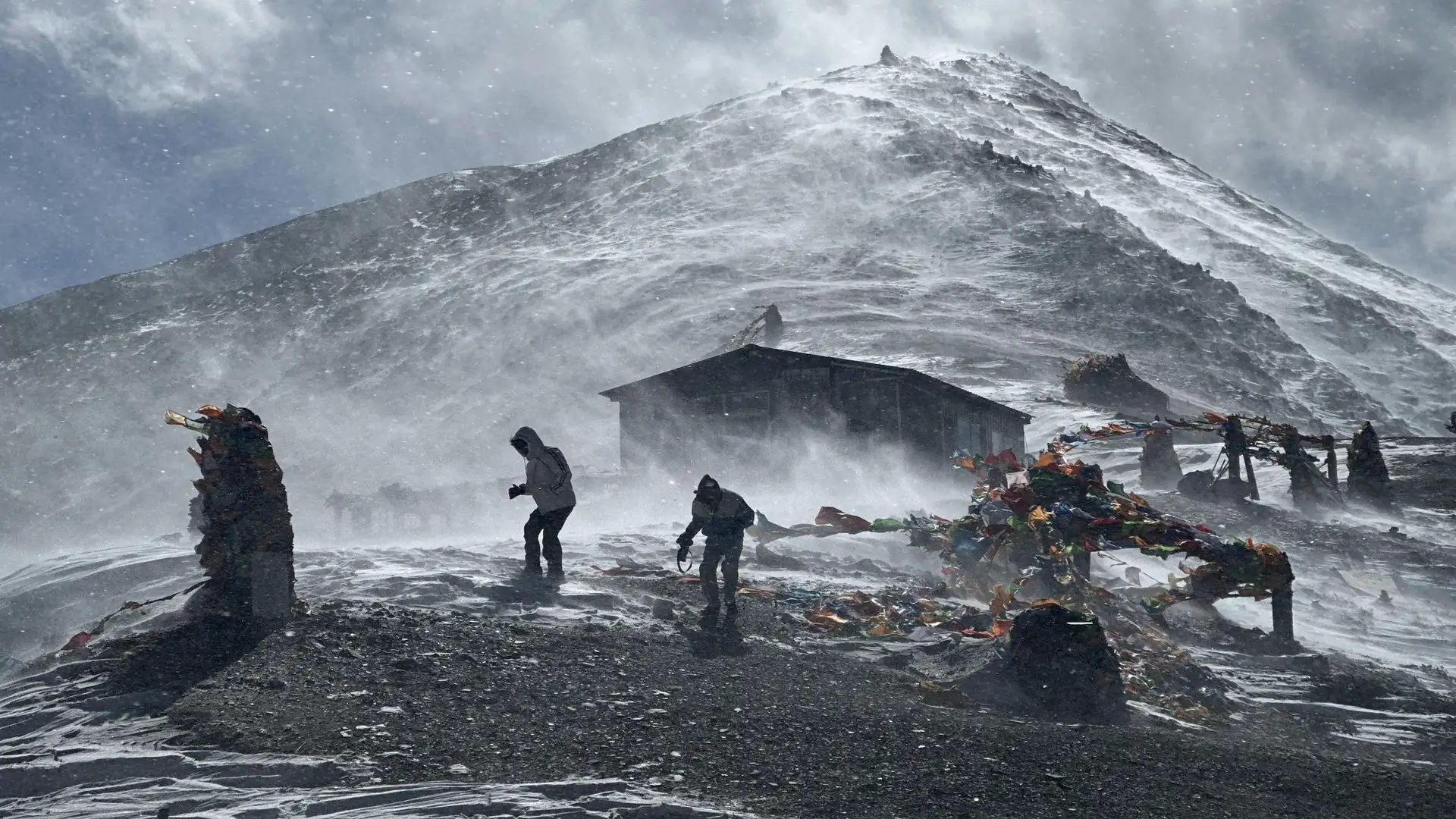
This is where weather has the most serious safety implications. Snow accumulation above roughly 3,500 meters, particularly from December through February, can affect footing and occasionally requires additional traction (microspikes) or a guide's judgment call on timing. Wind at the pass itself is a genuine factor independent of temperature — strong afternoon winds are common enough that virtually every itinerary builds in a pre-dawn departure (commonly before 4-5am) specifically to cross before conditions worsen later in the day.
Descent Section (Muktinath to Tatopani)
Weather conditions ease considerably on this side, with the dry, windswept Mustang climate giving way to greener, warmer valley conditions within just a couple of days' descent — a genuine physiological and psychological relief after the demands of the pass.
Weather and Altitude Sickness Risk
Weather and altitude interact in a few specific, practically relevant ways:
Cold temperatures can compound the effects of mild dehydration, itself a recognized risk factor for Acute Mountain Sickness (AMS) — meaning winter trekking specifically requires even more deliberate attention to water intake than milder seasons.
Reduced visibility during monsoon or heavy cloud conditions doesn't directly cause AMS, but it can make it harder for guides to visually monitor group pace and condition, part of why monsoon trekking is generally discouraged for less experienced trekkers on this specific route.
Snow conditions in winter can slow pacing on the high-altitude approach to the pass, which — if managed with proper acclimatization awareness — isn't inherently more dangerous from an AMS standpoint, but does require more careful, deliberate planning around rest and timing.
None of this changes the trek's fundamental altitude profile (Thorong La remains 5,416m regardless of season), but weather conditions do meaningfully affect how safely and comfortably that altitude is reached and crossed in any given month.
Packing Implications by Season
A fuller packing breakdown exists in a dedicated guide, but the core weather-driven adjustments worth flagging here:
Season | Key packing adjustments for this specific trek |
|---|---|
Spring | Standard layering system; rain shell for occasional afternoon showers, particularly by May; sun protection given increasing daytime warmth |
Monsoon | Strong waterproof jacket and pants; leech protection for lower forested sections; extra dry bags for persistent humidity |
Autumn | Standard layering system; a slightly warmer sleeping bag and an extra wind layer for late-November departures given colder nights and windier pass descents |
Winter | Sleeping bag rated to -15°C to -20°C comfort or colder; microspikes/gaiters for snow-affected sections above Manang; extra insulating layers; hand warmers for the pass crossing itself |
Teahouse Availability and Weather
Weather doesn't just affect the trail — it affects the infrastructure supporting it, particularly at the highest, most exposed stops.
Peak autumn (October especially) sees teahouses at or near capacity most nights, particularly at Thorong Phedi and High Camp, where limited room count meets the year's highest trekker volume — advance coordination through your guide is genuinely valuable in this window.
Winter months, particularly from mid-December through February, can see some of the smaller, highest-elevation teahouses close entirely given reduced demand and harsher operating conditions — confirming current teahouse availability at Thorong Phedi/High Camp before a winter departure is a sensible precaution.
Monsoon months see the lowest trekker volume of the year, and some smaller teahouses may operate on a reduced basis given lower demand.
Weather-Related Buffer Days: A Practical Recommendation
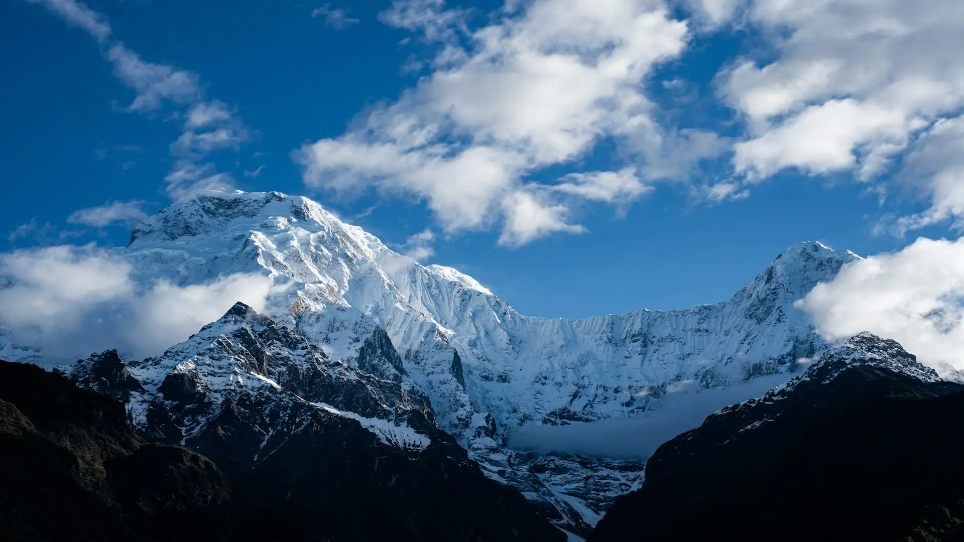
Given the genuine possibility of weather-related delays — particularly around the pass crossing itself, and around the Jomsom-Pokhara flight if that's part of your planned exit — building 1-2 buffer days into your overall schedule is widely recommended practice, especially for trekkers planning departures near Thorong La in shoulder season or winter.
A snow-related delay of a day or two at Thorong Phedi waiting for conditions to clear is a normal, manageable part of trekking this route in less predictable months; an immediate onward international flight booked right after your planned trek end date removes any flexibility to absorb that kind of delay.
How Current, Local Weather Knowledge Changes the Experience
Seasonal averages, even the detailed month-by-month figures in this guide, describe general planning ranges — not what's actually happening on the mountain this specific week. Snow accumulation near High Camp, current wind conditions at the pass, or whether this year's monsoon has arrived earlier or later than usual all require real-time, on-the-ground knowledge rather than a historical average.
This is where working with an experienced, locally based operator like Adventure Life Nepal provides genuine practical value: guides who track current conditions on this specific route continuously, itineraries that can be adjusted around a particular week's weather rather than a fixed seasonal template, and the judgment to know when a short delay at Thorong Phedi is worth taking rather than pushing through deteriorating conditions toward the pass.
Whether you're chasing October's peak clarity, planning a quieter but colder winter trek, or navigating a shoulder-season departure where conditions could go either way, current local knowledge is what turns a seasonal weather guide like this one into an actual, safe day-by-day plan.
Frequently Asked Questions about Annapurna Circuit Trek Weather
1. What is the best month to trek the Annapurna Circuit for weather?
October is most consistently cited as the single best month, offering the most stable weather, clearest skies, and safest Thorong La pass conditions of the year, closely followed by April and November.
2. How cold does it get at Thorong La?
Daytime temperatures at the pass typically range from roughly -5°C to 5°C in spring and autumn, dropping to roughly -10°C to -15°C in winter, with wind chill capable of pushing the effective temperature to -25°C or colder on the coldest days.
3. Can the Annapurna Circuit be trekked during monsoon season?
It's technically possible but generally discouraged — heavy rainfall, muddy and slippery trails, leech activity at lower elevations, and reduced visibility make June-August the least recommended window for most trekkers, particularly first-timers.
4. Is it safe to cross Thorong La in winter?
It carries genuine additional risk, particularly in January and February, when heavy snow can occasionally close the pass entirely. Trekking is still possible with proper preparation and current condition checks, but this window is generally recommended only for well-prepared, experienced winter trekkers.
5. How much colder does it get as you climb higher on this trek?
Temperature drops by roughly 6.5°C for every 1,000 meters of elevation gained — meaning conditions that feel comfortable at Manang (3,540m) will be significantly colder at Thorong Phedi (4,540m) and considerably colder still at the pass itself (5,416m).
6. Does it snow on the Annapurna Circuit, and when?
Yes, particularly above roughly 3,500 meters from November through March, with the heaviest and most frequent snowfall typically occurring in January and February.
7. What's the difference between spring and autumn weather on this trek?
Autumn generally offers slightly more stable, dry conditions overall and is considered the single most reliable season, while spring brings warmer temperatures and blooming rhododendrons but somewhat more frequent afternoon cloud buildup as the season progresses toward May.
8. Why does November see colder nights but fewer crowds than October?
As winter approaches, nighttime temperatures at higher elevation drop noticeably compared to October, and the pass descent toward Muktinath becomes windier — but this same seasonal shift also means October's peak crowds thin by an estimated 30-40% in late November, making it an appealing trade-off for trekkers prioritizing solitude.
9. How does weather affect the risk of altitude sickness?
Weather doesn't directly cause AMS, but cold conditions can compound the effects of mild dehydration (itself an AMS risk factor), and reduced visibility in monsoon or heavy cloud can make it harder for guides to closely monitor group pacing — both indirect factors worth being aware of, particularly in winter or monsoon.
10. Should I book teahouses in advance based on the season?
Yes, particularly for October, the busiest month of the year, especially at capacity-limited high-altitude stops like Thorong Phedi and High Camp — advance coordination through your guide is genuinely valuable during peak season.
11. Do teahouses stay open year-round on this route?
Most do, but some of the smaller, highest-elevation teahouses near Thorong Phedi and High Camp may close during the harshest winter weeks (particularly mid-December through February) given reduced demand and difficult operating conditions.
12. What's the coldest month to trek the Annapurna Circuit?
January is most consistently cited as the coldest month, with February close behind — both carry the highest snow-related risk near Thorong La and the coldest overnight temperatures at high-altitude stops.
13. Should I build extra days into my itinerary for weather?
Yes, strongly recommended — 1-2 buffer days is a commonly cited guideline, particularly relevant around the pass crossing itself and around any Jomsom-Pokhara flight, given the genuine possibility of weather-related delays in shoulder season or winter.
14. Is there a "safe" month with both good weather and fewer crowds?
Late November offers a strong middle ground — still relatively stable, clear conditions carried over from peak autumn, but with meaningfully thinner crowds than the October high season, provided you're prepared for colder nights and a properly rated sleeping bag.
Final Thoughts on Annapurna Circuit Trek Weather
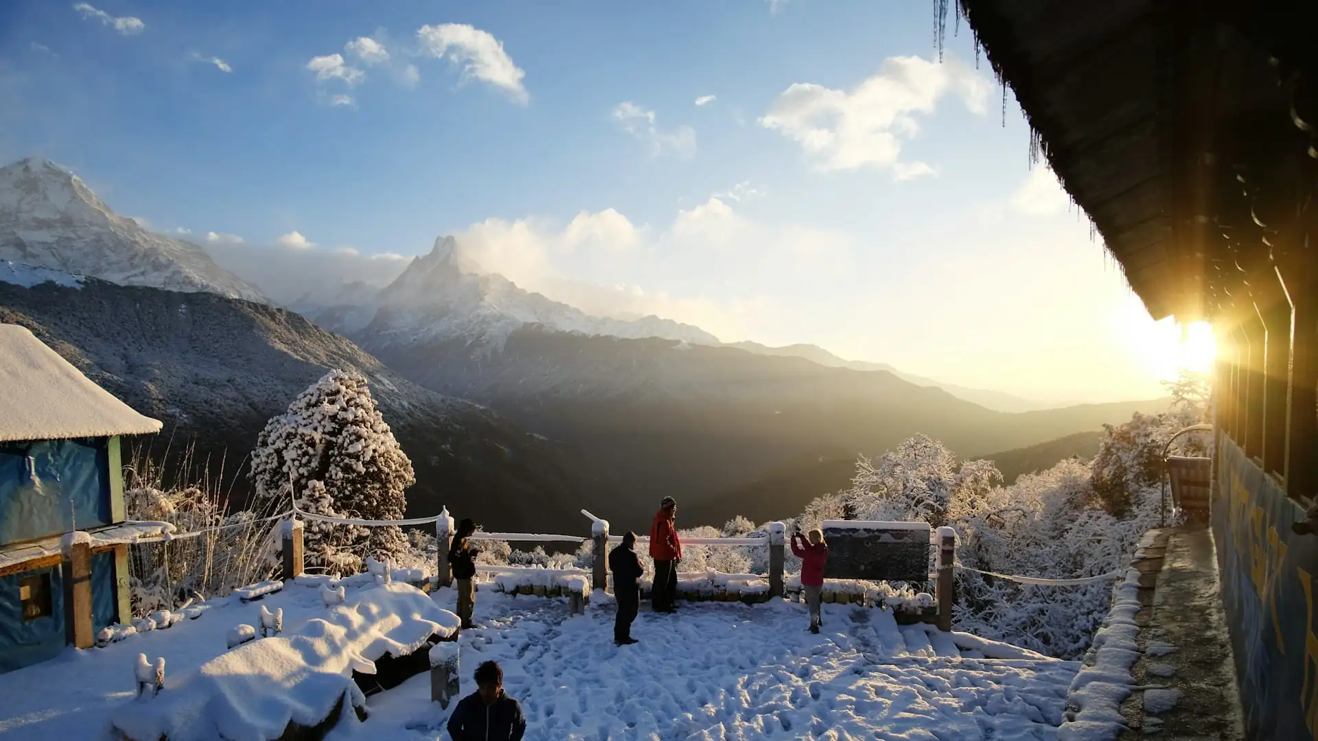
Weather on the Annapurna Circuit isn't a single variable to check once before booking — it's a genuinely shifting condition that changes by month, by elevation zone, and sometimes by hour, across a route that spans from subtropical lowland at 800 meters to a wind-exposed, high-altitude pass at 5,416 meters.
October and April remain the two most reliable windows for most trekkers, autumn overall offers the most consistent stability, spring brings its own warm, colorful appeal with slightly more afternoon cloud, and winter rewards well-prepared trekkers with quiet trails and clear skies at the real cost of serious cold and genuine pass-closure risk.
Whatever month you choose, understanding that elevation — not just the calendar — is what actually determines what you'll feel on any given day is the single most useful mental shift this guide can offer, and it's what turns a seasonal weather guide into a genuinely useful tool for planning a safe, well-paced crossing of one of the highest trekking passes in the world.